Whispering Pine Trail
- 10.5 mi
- round trip
- 2,433 ft
- climb
- 931 ft
- high point
- Out and back
- route
Whispering Pine Trail is a hard hike in Missouri, about 3 miles from the town of Coffman. The trail is an out-and-back route that climbs to a high point of 931 feet, with a total elevation gain of 2,433 feet over the round trip. The steepest stretch comes early, at about 0.2 miles from the start, where the grade reaches 31 percent. The trail is 21 miles long in total, so plan on about 8 hours for the round trip. Bikes and horses are not allowed. Spring and fall are the most comfortable times to go. Typical averages from a nearby weather station in Farmington show October highs around 70°F with lows near 45°F, and May highs around 77°F. July and August average highs near 88°F. Pickle Creek Trail and White Oaks Trail both lie within about a mile and a half. Spanish Land Grant Trail is about 2.4 miles away, and the River aux Vases offers canoeing about 4 miles off.
- Pickle Creek TrailHiking1 mi
- White Oaks TrailHiking1.3 mi
- Spanish Land Grant TrailHiking2.4 mi
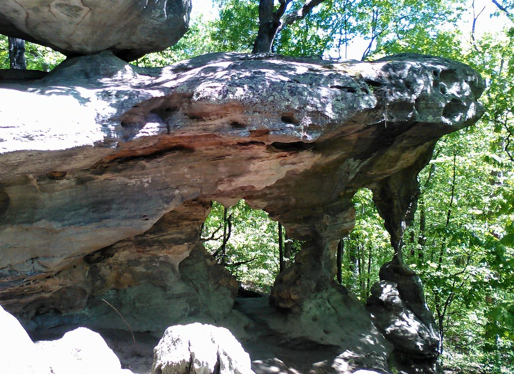 Trail Through TimeHikingPhoto: SymphonicPoet, CC BY 2.0 (via Flickr)4 mi
- River aux VasesCanoeing4.2 mi
- John J Audubon TrailHiking7.3 mi
- Wolf CreekCanoeing9.2 mi
Source: Roamze catalog (indexable pages within 10 miles, PostGIS distance)
- Trail Through TimeHiking · ~7 min drivePhoto: SymphonicPoet, CC BY 2.0 (via Flickr)
 Pilot Knob Guided Hike RouteHiking · ~44 min drivePhoto: Missouri State Archives, No restrictions (via Wikimedia Commons)
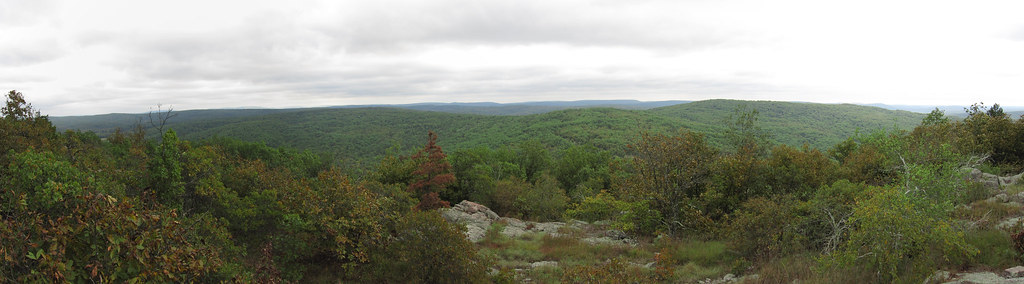 Bell MountainHiking · ~1h 4m drivePhoto: cm195902, CC BY 2.0 (via Flickr)
 Braille TrailHiking · ~47 min drivePhoto: Wikipedian Kbh3rd, CC BY-SA 3.0 (via Wikimedia Commons)
- Galena TrailHiking · ~25 min drive
- White Oaks TrailHiking · ~2 min drive
 Scour TrailHiking · ~1h 5m drivePhoto: CC BY-SA 3.0 (via Wikimedia Commons)
- Rockywood TrailHiking · ~53 min drive
- John J Audubon TrailHiking · ~12 min drive
- Campground Trail SystemHiking · ~1h 6m drivePhoto: CC BY-SA 3.0 (via Wikimedia Commons)
