White Oaks Trail
- 3.7 mi
- round trip
- 988 ft
- climb
- 896 ft
- high point
- Out and back
- route
- Mar–Jun, Sep–Nov
- best months
White Oaks Trail is a 3.7-mile out-and-back hike in Missouri, about 2.5 miles from the town of Millers. The trail rises steadily from a low point of 716 feet to a high of 896 feet, with a total elevation gain of 988 feet over the round trip. The climb is most pronounced around mile 1.5, where the grade reaches about 13 percent, and the trail is rated hard. The route is a single, steady climb, and the return trip mirrors the ascent. Bikes and horses are not allowed, so plan on walking both ways. Spring and fall are the most comfortable times to go. Typical averages from a nearby weather station in Farmington show October highs around 70°F with lows near 45°F, and May highs around 77°F. July and August average highs near 88°F. The hike takes about three hours. Pickle Creek Trail lies just 0.6 miles away, and Whispering Pine Trail is about 1.3 miles off. Spanish Land Grant Trail is roughly 2.1 miles away, and paddlers can reach River aux Vases, about 4.4 miles from the trail.
- Pickle Creek TrailHiking0.6 mi
- Whispering Pine TrailHiking1.3 mi
- Spanish Land Grant TrailHiking2.1 mi
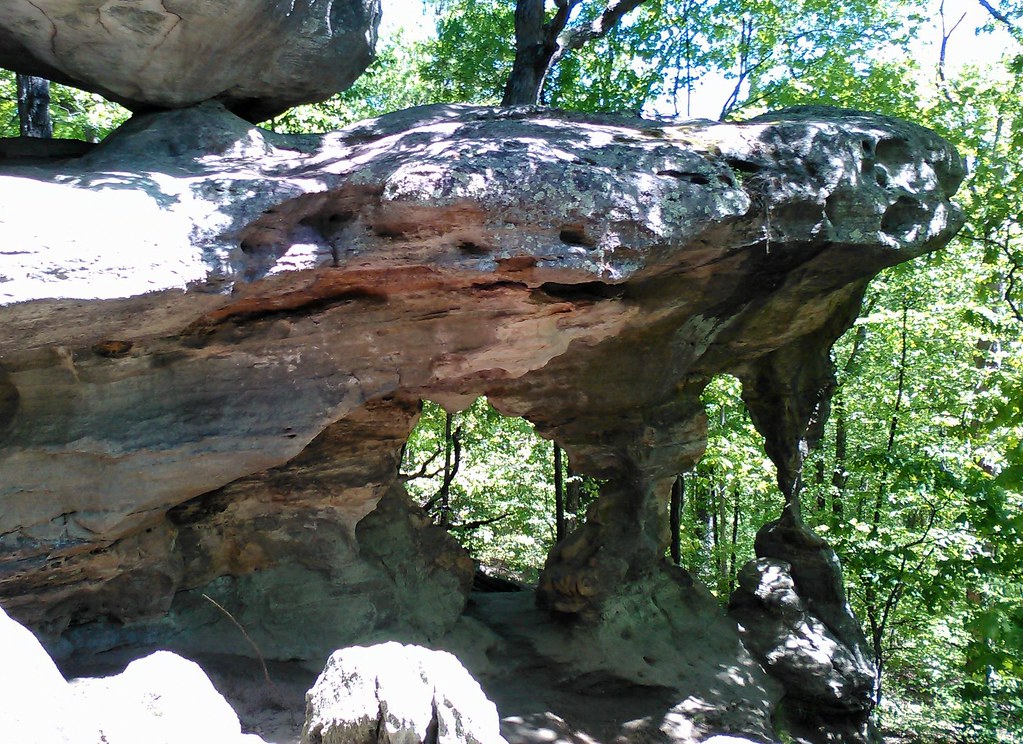 Trail Through TimeHikingPhoto: SymphonicPoet, CC BY 2.0 (via Flickr)3.8 mi
- River aux VasesCanoeing4.4 mi
- Wolf CreekCanoeing9.1 mi
- Establishment CreekCanoeing9.6 mi
- Terre Bleue CreekCanoeing10 mi
Source: Roamze catalog (indexable pages within 10 miles, PostGIS distance)
- Trail Through TimeHiking · ~7 min drivePhoto: SymphonicPoet, CC BY 2.0 (via Flickr)
 Pilot Knob Guided Hike RouteHiking · ~44 min drivePhoto: Missouri State Archives, No restrictions (via Wikimedia Commons)
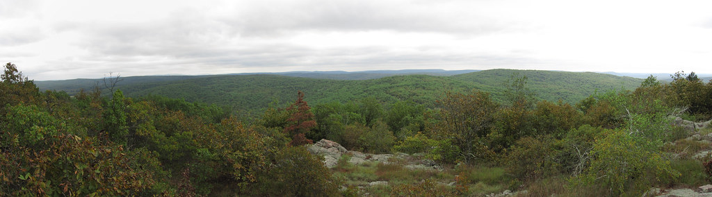 Bell MountainHiking · ~1h 4m drivePhoto: cm195902, CC BY 2.0 (via Flickr)
 Braille TrailHiking · ~47 min drivePhoto: Wikipedian Kbh3rd, CC BY-SA 3.0 (via Wikimedia Commons)
- Galena TrailHiking · ~24 min drive
- Whispering Pine TrailHiking · ~2 min drive
 Scour TrailHiking · ~1h 5m drivePhoto: CC BY-SA 3.0 (via Wikimedia Commons)
- Rockywood TrailHiking · ~51 min drive
- John J Audubon TrailHiking · ~15 min drive
 Bell Mountain ConnectorHiking · ~1h 6m drivePhoto: cm195902, CC BY 2.0 (via Flickr)
Best time to visit White Oaks Trail
Best months: March–June and September–November. Best months have typical highs of 55–85 °F, lows of 30 °F or warmer (32 °F where the station doesn't record snow), at most one snowy day and no more than 12 wet days.
Jan
43° / 23°
8 wet
Feb
48° / 26°
8 wet
Mar
58° / 34°
10 wet
Apr
69° / 44°
12 wet
May
77° / 54°
12 wet
Jun
85° / 63°
10 wet
Jul
88° / 67°
9 wet
Aug
88° / 65°
9 wet
Sep
81° / 56°
8 wet
Oct
70° / 45°
8 wet
Nov
57° / 34°
9 wet
Dec
46° / 26°
9 wet
Typical high / low (°F) and days with rain or snow, 1991–2020. Measured at Farmington, MO, 9.5 mi away at 900 ft. This station doesn't record snowfall. Source: NOAA NCEI U.S. Climate Normals 1991–2020.
