Spring Box Trail
- 1.0 mi
- round trip
- 143 ft
- climb
- 1,117 ft
- high point
- Out and back
- route
- Mar–May, Sep–Nov
- best months
Spring Box Trail is a short, easy hike in Missouri, about a mile from the town of Ash Grove. The trail is an out-and-back route that rises about 90 feet from its starting point, with a total climb of 143 feet over the round trip. The high point is about 1117 feet, and the steepest stretch comes early on, around 0.24 miles from the start, with a grade of about 7 percent. Spring is the most comfortable time to go. Typical averages from a nearby weather station in Ash Grove show April highs around 69°F and October highs around 71°F, while July and August average about 90°F. The trip takes about half an hour. The Homestead Interpretive Trail and Prairie View Trail both lie within half a mile, and the Sac River, about 9 miles away, offers canoeing.
- Homestead Interpretive TrailHiking0.3 mi
- Prairie View TrailHiking0.4 mi
- Sac RiverCanoeing9.1 mi
- Boundary TrailHiking9.8 mi
- Thong Tree TrailHiking9.9 mi
Source: Roamze catalog (indexable pages within 10 miles, PostGIS distance)
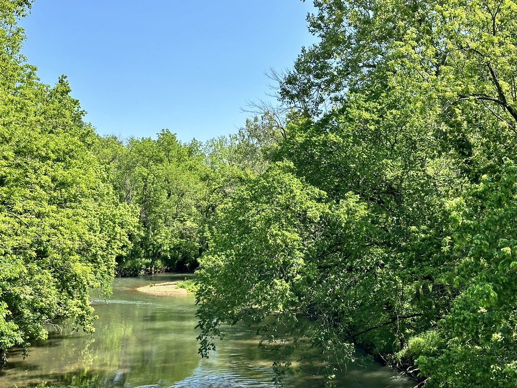 Gibson's Mill TrailHiking · ~32 min drivePhoto: SlapTheWorld, Public Domain Dedication (CC0) (via Flickr)
 Piney Creek-Tower LoopHiking · ~1h 17m drivePhoto: My Blue Van, CC BY-SA 2.0 (via Flickr)
- Busiek Yellow TrailHiking · ~1h 7m drive
- Gibson's Mill Trail ExtensionHiking · ~32 min drivePhoto: SlapTheWorld, Public Domain Dedication (CC0) (via Flickr)
- Sortor's Bluff TrailHiking · ~34 min drive
 Bloody Hill Trail SpurHiking · ~32 min drivePhoto: SlapTheWorld, Public Domain Dedication (CC0) (via Flickr)
- Lakeview TrailHiking · ~36 min drive
- Bloody Hill TrailHiking · ~32 min drivePhoto: SlapTheWorld, Public Domain Dedication (CC0) (via Flickr)
- Busiek White TrailHiking · ~1h 5m drive
 Ray Cornfield TrailHiking · ~33 min drivePhoto: SlapTheWorld, Public Domain Dedication (CC0) (via Flickr)
Best time to visit Spring Box Trail
Best months: March–May and September–November. Best months have typical highs of 55–85 °F, lows of 30 °F or warmer (32 °F where the station doesn't record snow), at most one snowy day and no more than 12 wet days.
Jan
44° / 24°
5 wet · 1 snow
Feb
49° / 27°
6 wet · 1 snow
Mar
59° / 35°
8 wet · 1 snow
Apr
69° / 45°
9 wet
May
77° / 55°
10 wet
Jun
86° / 64°
9 wet
Jul
90° / 68°
7 wet
Aug
90° / 66°
7 wet
Sep
83° / 58°
6 wet
Oct
71° / 46°
7 wet
Nov
57° / 36°
7 wet
Dec
47° / 28°
6 wet · 1 snow
Typical high / low (°F) and days with rain or snow, 1991–2020. Measured at Ash Grove 4s, MO, 5.9 mi away at 1,129 ft. Source: NOAA NCEI U.S. Climate Normals 1991–2020.
