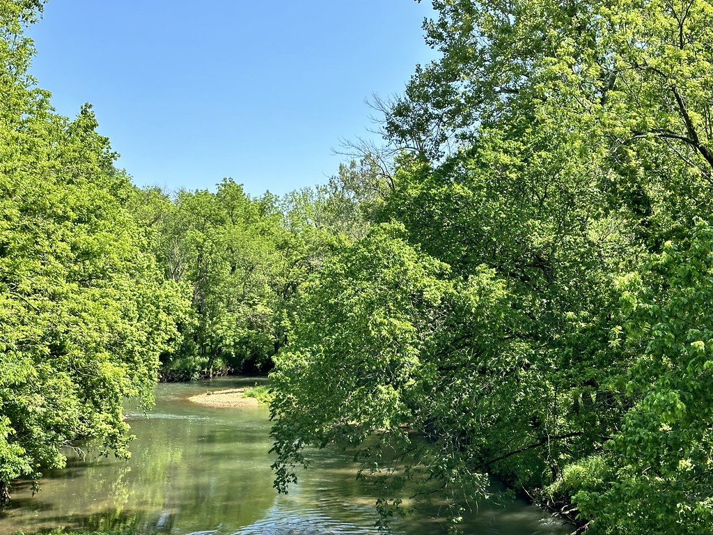
Lost Hill Natural Arch
- 1,111 ft
- elevation
- Mar–Jun, Sep–Nov
- best months
Lost Hill Natural Arch is a natural arch in Lost Hill Park, about 6 miles from Springfield, Missouri. It sits at roughly 1,100 feet, and the park makes the natural setting for the visit. Spring and fall are the most comfortable times to go. Typical averages from a nearby weather station in Springfield show April highs around 67°F and October highs around 69°F, while July and August average highs near 88°F. The Little Sac River, a canoeing route, is about 4 miles away. The Oak-Hickory Trail and the Thong Tree Trail are both within about 9 miles.
- Elevation
- 1,111 ft
Elevation from USGS 3D Elevation Program terrain data (about 10 m resolution).
- Little Sac RiverCanoeing4.4 mi
- Oak-Hickory TrailHiking8.5 mi
- Thong Tree TrailHiking8.9 mi
- Boundary TrailHiking8.9 mi
- Savannah TrailHiking9.2 mi
Source: Roamze catalog (indexable pages within 10 miles, PostGIS distance)
Best time to visit Lost Hill Natural Arch
Best months: March–June and September–November. Best months have typical highs of 55–85 °F, lows of 30 °F or warmer (32 °F where the station doesn't record snow), at most one snowy day and no more than 12 wet days.
Jan
43° / 23°
Feb
48° / 26°
Mar
58° / 35°
Apr
67° / 44°
May
75° / 56°
Jun
84° / 64°
Jul
88° / 68°
Aug
88° / 67°
Sep
81° / 58°
Oct
69° / 46°
Nov
57° / 35°
Dec
46° / 27°
Typical high / low (°F) and days with rain or snow, 1991–2020. Measured at Springfield Wbo, MO, 5.5 mi away at 1,325 ft. This station doesn't record snowfall. Source: NOAA NCEI U.S. Climate Normals 1991–2020.