Hidden Springs Trail
- 2.4 mi
- loop
- 265 ft
- climb
- 871 ft
- high point
- Loop
- route
- Mar–Jun, Sep–Nov
- best months
Hidden Springs Trail is a 2.4-mile loop in Missouri, about 2 miles from the town of Passover. The trail rises from a low point of 665 feet to a high of 871 feet, with a total elevation gain of 265 feet. It is an easy hike, and the climb is gentle overall, though the steepest stretch comes at about 1.1 miles in, with a grade of 13 percent. Spring and fall are the most comfortable times to go. Typical averages from the nearby Lakeside weather station show October highs around 70°F with lows near 49°F, and April is similar at about 69°F by day and 47°F at night. That station sits roughly 280 feet lower than the trail's high point, so temperatures on the higher ground run a little cooler. The trail is open to both horses and bikes, so riders and pack animals can join the walk. Two other hikes, Fawns Ridge Trail and Lake View Bend Trail, are each about 0.7 miles away, and Coakley Hollow Trail is about 2.1 miles off. Paddlers can find Grandglaize Creek about 3.3 miles away.
- Fawns Ridge TrailHiking0.7 mi
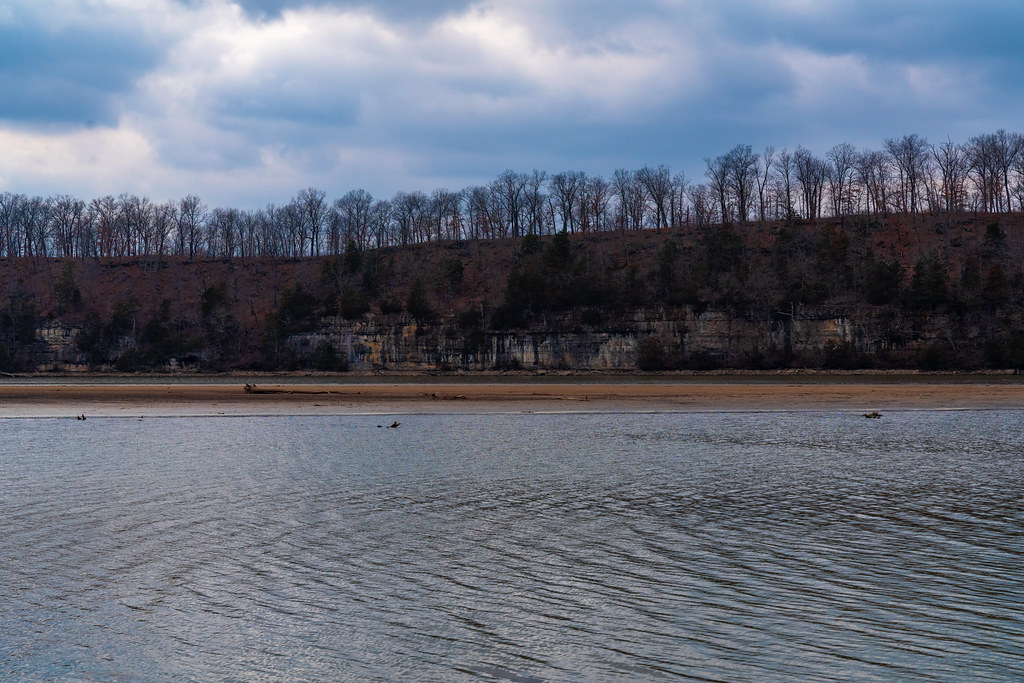 Lake View Bend TrailHikingPhoto: Tony Webster, CC BY 2.0 (via Flickr)0.7 mi
- Coakley Hollow TrailHikingPhoto: Tony Webster, CC BY 2.0 (via Flickr)2.1 mi
- Bluestem Knoll TrailHiking2.3 mi
- Grandglaize CreekCanoeing3.3 mi
- Wet Glaize CreekCanoeing8.1 mi
Source: Roamze catalog (indexable pages within 10 miles, PostGIS distance)
- White Oak TrailHiking · Next doorPhoto: Tony Webster, CC BY 2.0 (via Flickr)
- Lake View Bend TrailHiking · ~1 min drivePhoto: Tony Webster, CC BY 2.0 (via Flickr)
 Turkey Pen Hollow TrailHiking · ~23 min drivePhoto: Log.base, CC BY-SA 4.0 (via Wikimedia Commons)
- Coakley Hollow TrailHiking · ~4 min drivePhoto: Tony Webster, CC BY 2.0 (via Flickr)
 Natural Tunnel TrailHiking · ~51 min drivePhoto: rjones0856, CC BY 2.0 (via Wikimedia Commons)
- Red TrailHiking · ~45 min drive
 Colosseum TrailHiking · ~23 min drivePhoto: Log.base, CC BY-SA 4.0 (via Wikimedia Commons)
- Cole Creek Red LoopHiking · ~49 min drive
- Moreau Creek TrailHiking · ~49 min drive
- Acorn TrailHiking · ~23 min drivePhoto: Log.base, CC BY-SA 4.0 (via Wikimedia Commons)
Best time to visit Hidden Springs Trail
Best months: March–June and September–November. Best months have typical highs of 55–85 °F, lows of 30 °F or warmer (32 °F where the station doesn't record snow), at most one snowy day and no more than 12 wet days.
Jan
44° / 25°
7 wet
Feb
49° / 29°
6 wet
Mar
59° / 37°
9 wet
Apr
69° / 47°
11 wet
May
77° / 56°
12 wet
Jun
85° / 65°
10 wet
Jul
89° / 70°
8 wet
Aug
88° / 68°
8 wet
Sep
81° / 60°
8 wet
Oct
70° / 49°
8 wet
Nov
59° / 39°
7 wet
Dec
48° / 30°
7 wet
Typical high / low (°F) and days with rain or snow, 1991–2020. Measured at Lakeside, MO, 8.9 mi away at 590 ft. This station doesn't record snowfall. Source: NOAA NCEI U.S. Climate Normals 1991–2020.
