Bluestem Knoll Trail
- 0.8 mi
- round trip
- 163 ft
- climb
- 866 ft
- high point
- Out and back
- route
- Mar–Jun, Sep–Nov
- best months
Bluestem Knoll Trail is a short, easy hike in Missouri, about 2 miles from the town of Kaiser. The trail is a 0.75-mile out-and-back, and it rises about 63 feet from start to finish. The full route, going to the top and back, is about 1.5 miles and gains about 163 feet in total, with the steepest stretch around 0.47 miles in. For comfortable weather, aim for spring or fall. Typical averages from the nearby Lakeside weather station run to highs near 69°F in October and 69°F in April, and the station sits a few hundred feet lower than the trail, so temperatures on the knoll run a bit cooler. Several other trails are close by. Hidden Springs Trail is about 2.3 miles away, and Fawns Ridge Trail and Lake View Bend Trail are each about 2.9 miles away. For paddling, Grandglaize Creek is about 5.3 miles off.
- Hidden Springs TrailHiking2.3 mi
- Fawns Ridge TrailHiking2.9 mi
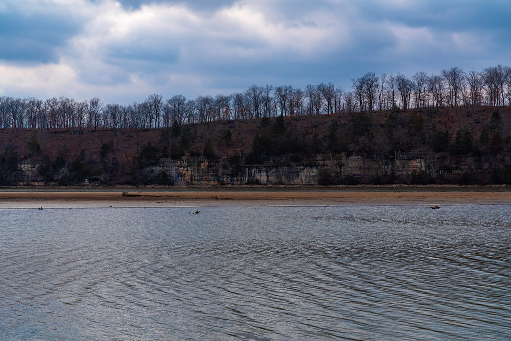 Lake View Bend TrailHikingPhoto: Tony Webster, CC BY 2.0 (via Flickr)2.9 mi
- Coakley Hollow TrailHikingPhoto: Tony Webster, CC BY 2.0 (via Flickr)4.3 mi
- Grandglaize CreekCanoeing5.3 mi
- Brushy ForkCanoeing9.5 mi
Source: Roamze catalog (indexable pages within 10 miles, PostGIS distance)
- White Oak TrailHiking · ~4 min drivePhoto: Tony Webster, CC BY 2.0 (via Flickr)
- Lake View Bend TrailHiking · ~5 min drivePhoto: Tony Webster, CC BY 2.0 (via Flickr)
 Turkey Pen Hollow TrailHiking · ~25 min drivePhoto: Log.base, CC BY-SA 4.0 (via Wikimedia Commons)
- Coakley Hollow TrailHiking · ~7 min drivePhoto: Tony Webster, CC BY 2.0 (via Flickr)
 Natural Tunnel TrailHiking · ~55 min drivePhoto: rjones0856, CC BY 2.0 (via Wikimedia Commons)
- Moreau Creek TrailHiking · ~45 min drive
 Colosseum TrailHiking · ~25 min drivePhoto: Log.base, CC BY-SA 4.0 (via Wikimedia Commons)
- Cole Creek Red LoopHiking · ~53 min drive
- Red TrailHiking · ~48 min drive
- Acorn TrailHiking · ~25 min drivePhoto: Log.base, CC BY-SA 4.0 (via Wikimedia Commons)
Best time to visit Bluestem Knoll Trail
Best months: March–June and September–November. Best months have typical highs of 55–85 °F, lows of 30 °F or warmer (32 °F where the station doesn't record snow), at most one snowy day and no more than 12 wet days.
Jan
44° / 25°
7 wet
Feb
49° / 29°
6 wet
Mar
59° / 37°
9 wet
Apr
69° / 47°
11 wet
May
77° / 56°
12 wet
Jun
85° / 65°
10 wet
Jul
89° / 70°
8 wet
Aug
88° / 68°
8 wet
Sep
81° / 60°
8 wet
Oct
70° / 49°
8 wet
Nov
59° / 39°
7 wet
Dec
48° / 30°
7 wet
Typical high / low (°F) and days with rain or snow, 1991–2020. Measured at Lakeside, MO, 6.9 mi away at 590 ft. This station doesn't record snowfall. Source: NOAA NCEI U.S. Climate Normals 1991–2020.
