Central Regional Office
- 0.3 mi
- loop
- 13 ft
- climb
- 791 ft
- high point
- Loop
- route
- Mar–Jun, Sep–Nov
- best months
Central Regional Office is a short, easy loop hike in Missouri, about a third of a mile long and sitting at roughly 780 feet. It's a flat, low-elevation outing, with a total climb of just 13 feet and a drop of 43 feet along the way. The nearest town is Pierpont, about 2.4 miles away. Spring and fall are the most comfortable times to go. Typical averages from a nearby weather station in Columbia show October highs around 68°F with lows near 47°F, and May highs around 76°F. July is the warmest month, with typical highs near 89°F. The trail is a loop, and it's rated easy. Bikes and horses are not allowed. Nearby, Deer Run Trail is about 2.5 miles away, and Turkey Creek Interpretive Nature Trail is about 3.4 miles away. Climbers can head to Drive-In, The, about 3.2 miles off, or Main Area, about 3.3 miles away.
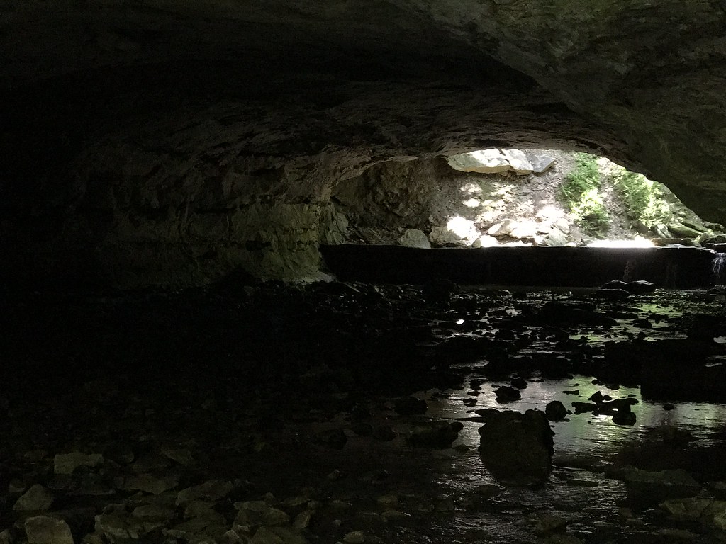 Deer Run TrailHikingPhoto: Charkrem, CC BY 2.0 (via Flickr)2.5 mi
 The Drive-InRock climbingPhoto: dippold, CC BY-SA 3.0 (via Wikimedia Commons)3.2 mi
- Main AreaRock climbingPhoto: dippold, CC BY-SA 3.0 (via Wikimedia Commons)3.3 mi
- Walk Down AreaRock climbingPhoto: dippold, CC BY-SA 3.0 (via Wikimedia Commons)3.3 mi
- Turkey Creek Interpretive Nature TrailHiking3.4 mi
- CM: Rudimentary Recall BoulderRock climbing4.7 mi
- Cedar Creek Trail - the MoonHiking6.5 mi
- Cedar CreekCanoeing7.4 mi
Source: Roamze catalog (indexable pages within 10 miles, PostGIS distance)
- Deer Run TrailHiking · ~4 min drivePhoto: Charkrem, CC BY 2.0 (via Flickr)
- Cedar Creek Trail - Smith CreeHiking · ~16 min drive
- Cedar Creek - SouthHiking · ~19 min drive
- Moniteau TrailHiking · ~45 min drive
 Kelley Branch Mountain Bike TrailHiking · ~23 min drivePhoto: Tony Webster, CC BY-SA 2.0 (via Flickr)
- Cedar Creek Trail - the MoonHiking · ~11 min drive
- Moreau Creek TrailHiking · ~50 min drive
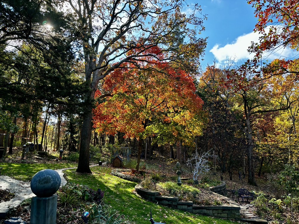 Paved TrailHiking · ~36 min drivePhoto: smays, CC BY 2.0 (via Flickr)
- Gravel TrailHiking · ~36 min drivePhoto: smays, CC BY 2.0 (via Flickr)
- Towering OakHiking · ~36 min drivePhoto: smays, CC BY 2.0 (via Flickr)
Best time to visit Central Regional Office
Best months: March–June and September–November. Best months have typical highs of 55–85 °F, lows of 30 °F or warmer (32 °F where the station doesn't record snow), at most one snowy day and no more than 12 wet days.
Jan
39° / 23°
8 wet · 3 snow
Feb
45° / 26°
8 wet · 3 snow
Mar
56° / 36°
11 wet · 1 snow
Apr
67° / 46°
11 wet
May
76° / 56°
12 wet
Jun
85° / 65°
11 wet
Jul
89° / 69°
8 wet
Aug
88° / 67°
9 wet
Sep
80° / 59°
8 wet
Oct
68° / 47°
9 wet
Nov
55° / 37°
8 wet · 1 snow
Dec
44° / 27°
8 wet · 2 snow
Typical high / low (°F) and days with rain or snow, 1991–2020. Measured at Columbia U Of M, MO, 4 mi away at 770 ft. Source: NOAA NCEI U.S. Climate Normals 1991–2020.
