Moniteau Trail
- 13.3 mi
- round trip
- 1,567 ft
- climb
- 880 ft
- high point
- Out and back
- route
- Apr–Jun, Sep–Oct
- best months
Moniteau Trail is a hard hike of about 13 miles in Missouri, roughly 2.6 miles from the town of Rucker. It is an out-and-back route with a total round-trip distance of about 26.5 miles, and the trail rises from about 798 feet to a high point near 880 feet. The total elevation gain is about 1,567 feet, and the steepest stretch comes around the 6.7-mile mark at a grade of about 12 percent. The trail allows both bikes and horses, so riders and equestrians can plan on joining the route. For comfortable weather, aim for late spring or early fall. Typical averages from a nearby weather station in Moberly show May highs around 74°F and September highs around 78°F, with October easing to about 67°F. Moniteau Creek, about 5 miles away, offers canoeing for those who want to pair the hike with time on the water.
Source: Roamze catalog (indexable pages within 10 miles, PostGIS distance)
 Kelley Branch Mountain Bike TrailHiking · ~23 min drivePhoto: Tony Webster, CC BY-SA 2.0 (via Flickr)
- Cedar Creek Trail - Smith CreeHiking · ~58 min drive
- Cedar Creek - SouthHiking · ~1h 4m drive
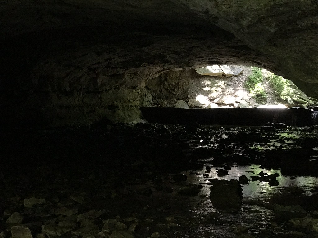 Deer Run TrailHiking · ~44 min drivePhoto: Charkrem, CC BY 2.0 (via Flickr)
- Cedar Creek Trail - the MoonHiking · ~53 min drive
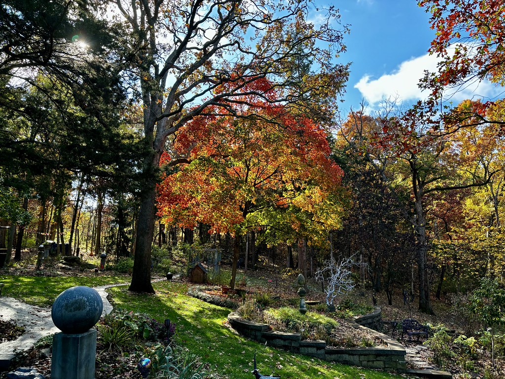 Paved TrailHiking · ~1h 20m drivePhoto: smays, CC BY 2.0 (via Flickr)
- Gravel TrailHiking · ~1h 20m drivePhoto: smays, CC BY 2.0 (via Flickr)
- Towering OakHiking · ~1h 20m drivePhoto: smays, CC BY 2.0 (via Flickr)
 Bluestem RidgeHiking · ~1h 20m drivePhoto: smays, CC BY 2.0 (via Flickr)
- Tall Grass Prairie TrailHiking · ~37 min drive
Best time to visit Moniteau Trail
Best months: April–June and September–October. Best months have typical highs of 55–85 °F, lows of 30 °F or warmer (32 °F where the station doesn't record snow), at most one snowy day and no more than 12 wet days.
Jan
37° / 19°
6 wet · 2 snow
Feb
42° / 23°
7 wet · 2 snow
Mar
54° / 34°
9 wet · 1 snow
Apr
65° / 44°
11 wet
May
74° / 55°
12 wet
Jun
83° / 64°
10 wet
Jul
87° / 67°
8 wet
Aug
86° / 66°
8 wet
Sep
78° / 57°
8 wet
Oct
67° / 46°
8 wet
Nov
53° / 34°
8 wet · 1 snow
Dec
42° / 25°
7 wet · 2 snow
Typical high / low (°F) and days with rain or snow, 1991–2020. Measured at Moberly, MO, 12.1 mi away at 860 ft. Source: NOAA NCEI U.S. Climate Normals 1991–2020.
