A. Perry Philips Boat Ramp
- Mar–Jun, Sep–Nov
- best months
A. Perry Philips Boat Ramp is a boat launch in Missouri, managed by the Missouri Department of Conservation and located about 2.4 miles from the town of Pierpont. It serves as a put-in for boaters heading out on the water in this corner of the state. For comfortable weather, aim for late spring or early fall. Typical averages from a nearby weather station in Columbia show May highs around 76°F and September highs around 80°F, with July peaking near 89°F. Several other outdoor spots sit close by. The Central Regional Office hike is about half a mile away, and Deer Run Trail is roughly 2.3 miles off. Climbers can find The Drive-In about 2.7 miles away, and paddlers looking for another water option can head to Cedar Creek, about 7.8 miles from the ramp.
- Managed by
- Missouri Department of Conservation
- Central Regional OfficeHiking0.5 mi
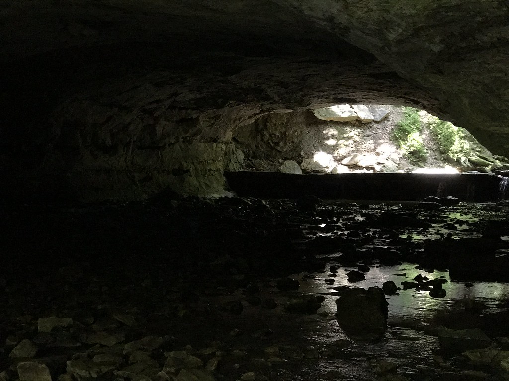 Deer Run TrailHikingPhoto: Charkrem, CC BY 2.0 (via Flickr)2.3 mi
 The Drive-InRock climbingPhoto: dippold, CC BY-SA 3.0 (via Wikimedia Commons)2.7 mi
- Main AreaRock climbingPhoto: dippold, CC BY-SA 3.0 (via Wikimedia Commons)2.8 mi
- Walk Down AreaRock climbingPhoto: dippold, CC BY-SA 3.0 (via Wikimedia Commons)2.8 mi
- Turkey Creek Interpretive Nature TrailHiking3.8 mi
- CM: Rudimentary Recall BoulderRock climbing4.3 mi
- Cedar CreekCanoeing7.8 mi
Source: Roamze catalog (indexable pages within 10 miles, PostGIS distance)
- Providence Access Boat RampBoat launch · ~12 min drive
- Cedar CreekCanoeing · ~13 min drive
- Perche CreekBoat launch · ~12 min drive
- Finger Lakes Water TrailCanoeing · ~23 min drive
- Coopers LandingBoat launch · ~12 min drive
- Finger Lakes Water TrailCanoeing · ~23 min drive
- Huntsdale Access Boat RampBoat launch · ~17 min drive
- Finger Lakes Water TrailCanoeing · ~23 min drive
- Ashland Lake Boat RampBoat launch · ~18 min drive
- White Connector 2Canoeing · ~23 min drive
Best time to visit A. Perry Philips Boat Ramp
Best months: March–June and September–November. Best months have typical highs of 55–85 °F, lows of 30 °F or warmer (32 °F where the station doesn't record snow), at most one snowy day and no more than 12 wet days.
Jan
39° / 23°
8 wet · 3 snow
Feb
45° / 26°
8 wet · 3 snow
Mar
56° / 36°
11 wet · 1 snow
Apr
67° / 46°
11 wet
May
76° / 56°
12 wet
Jun
85° / 65°
11 wet
Jul
89° / 69°
8 wet
Aug
88° / 67°
9 wet
Sep
80° / 59°
8 wet
Oct
68° / 47°
9 wet
Nov
55° / 37°
8 wet · 1 snow
Dec
44° / 27°
8 wet · 2 snow
Typical high / low (°F) and days with rain or snow, 1991–2020. Measured at Columbia U Of M, MO, 3.6 mi away at 770 ft. Source: NOAA NCEI U.S. Climate Normals 1991–2020.
Map and trail data © OpenStreetMap contributors
