Ava/Cassville/Willow Springs Ranger District
- Mar–Jun, Sep–Nov
- best months
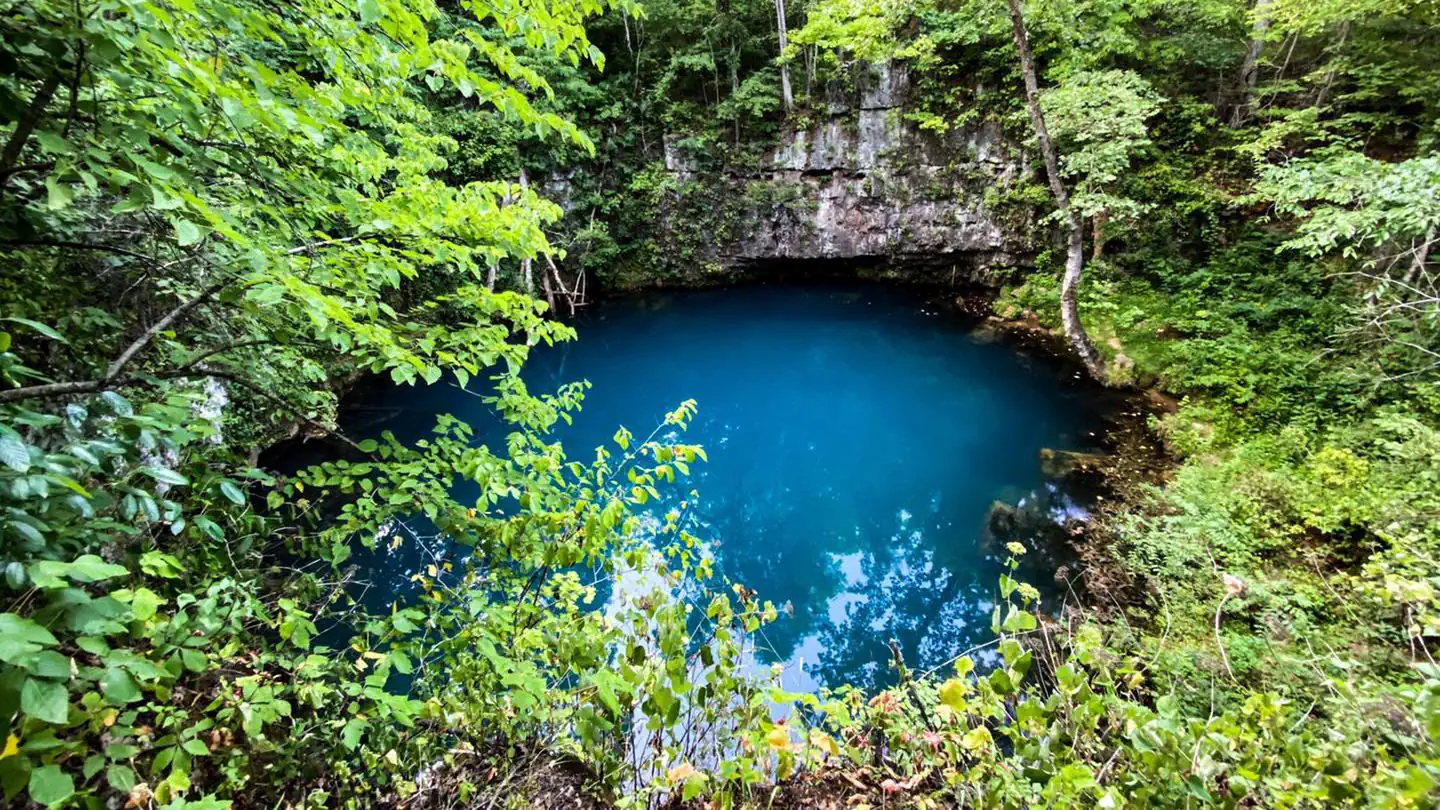
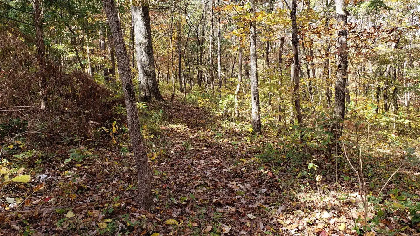
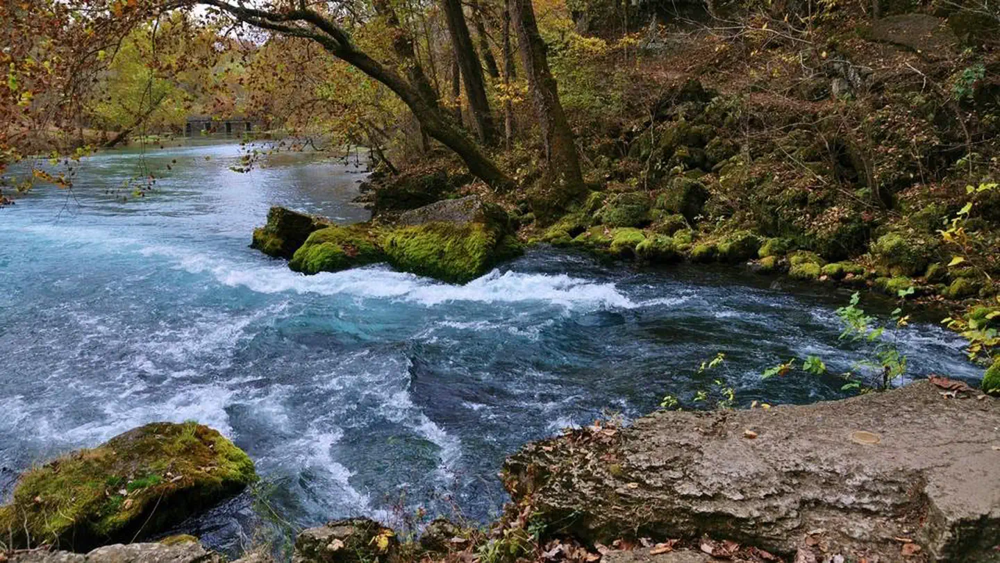
Visitors to Ava/Cassville/Willow Springs District will find different landscapes from oak-hickory forests , shortleaf pine forests, and glades. Glades are open areas of native tall prairie grasses characterized by dry, shallow soils and limestone outcroppings.The unique blending of eastern forest and western desert habitats makes a home for such varied wildlife as the bald eagle and the roadrunner, armadillos and wild turkey, white-tailed deer and black bears.The sunlit balds and deep hollows, narrow ridgetops and steep slopes, secluded pastures and clear streams characteristic of the Ozarks are the trademark of the District. This is the landscape so eloquently described in Harold Bell Wright's famous book, The Shepherd of the Hills.Nearby vacation destinations -- Branson, Silver Dollar City, Bass Pro, and Table Rock Lake -- make the District one of Missouri's favorite playgrounds.If you drive through this area, you will be delighted at every turn by scenic views. Hike your way through the Forest and you will find solitude and tranquility.The beautiful North Fork River is the pride of Willow Springs Area. A total of nine major springs flow into the river; two of the largest, Big Springs and Blue Spring, contribute some 18 million gallons of cold, clear water every day. The river is popular with canoeists as well as anglers.The District contains three of seven Congressionally-designated Wilderness Areas; Devils Backbone, Hercules Glades, and Piney Creek Wildernesses.The District has the Forest’s only National Forest Scenic Byways; Blue Buck Knob, Glade Top Trail; and Sugar Camp.
 Hunter CreekCanoeingPhoto: Vsmith, CC BY-SA 3.0 (via Wikimedia Commons)5.1 mi
 Cowskin CreekCanoeingPhoto: Vsmith, CC BY-SA 4.0 (via Wikimedia Commons)5.4 mi
- Beaver CreekCanoeingPhoto: Vsmith, CC BY-SA 4.0 (via Wikimedia Commons)6.2 mi
- Bryant CreekCanoeing7.5 mi
Source: Roamze catalog (indexable pages within 10 miles, PostGIS distance)
- Old Highway 86River fishing · ~1h 17m drive
- Noblett LakeLake fishing · ~54 min drive
- White RiverRiver fishing · ~1h 8m drive
- Table Rock LakeLake fishing · ~1h 20m drive
- Aunts CreekRiver fishing · ~1h 22m drive
- Indian PointLake fishing · ~1h 15m drive
- Crooked CreekRiver fishing · ~1h 22m drive
- Mill CreekRiver fishing · ~1h 25m drive
- Murphy PondLake fishing · ~30 min drive
- Barnard LakeLake fishing · ~51 min drive
Best time to visit Ava/Cassville/Willow Springs Ranger District
Best months: March–June and September–November. Best months have typical highs of 55–85 °F, lows of 30 °F or warmer (32 °F where the station doesn't record snow), at most one snowy day and no more than 12 wet days.
Jan
44° / 23°
6 wet
Feb
49° / 26°
6 wet
Mar
58° / 34°
7 wet
Apr
68° / 44°
7 wet
May
75° / 53°
8 wet
Jun
83° / 62°
7 wet
Jul
87° / 66°
7 wet
Aug
87° / 65°
6 wet
Sep
80° / 56°
5 wet
Oct
69° / 46°
6 wet
Nov
57° / 35°
6 wet
Dec
47° / 26°
6 wet
Typical high / low (°F) and days with rain or snow, 1991–2020. Measured at Wasola 5n, MO, 7 mi away at 1,226 ft. This station doesn't record snowfall. Source: NOAA NCEI U.S. Climate Normals 1991–2020.