Water Valley Landing Trail
- 0.6 mi
- loop
- 32 ft
- climb
- 305 ft
- high point
- Loop
- route
- Feb–May, Oct–Dec
- best months
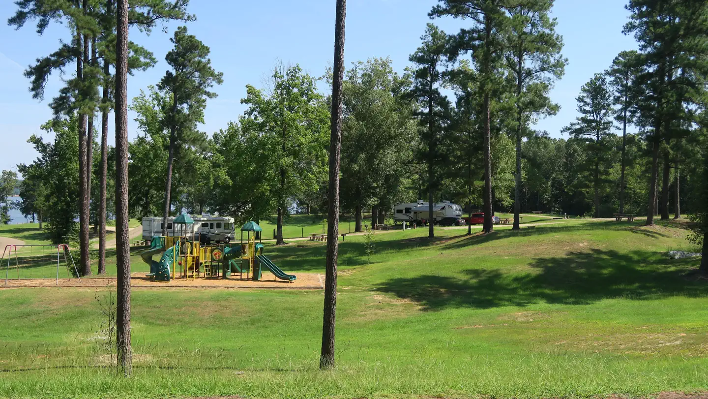
Water Valley Landing Trail is a short, easy hike in Mississippi, about 0.8 miles from the community of Water Valley Landing. The loop covers 0.56 miles and climbs only about 32 feet, so it suits a quick walk or a first outing with kids. The route stays essentially flat, ranging between roughly 258 and 305 feet in elevation. Its steepest stretch comes about 0.22 miles in and tops out at a gentle 4 percent grade. Because it's a loop, the 32 feet of climbing is the total for the whole walk. Spring and fall are the most comfortable times to go. Typical averages from a nearby weather station in Water Valley show April highs around 74°F and October highs around 76°F, while summer highs reach about 90°F. Water Valley Landing, a lake fishing spot just 0.2 miles away, pairs naturally with the walk, and Spyglass Hill Trail sits about 1.8 miles off for more hiking. Within a few more miles are Chickasaw Hill, another lake fishing site, and Enid Lake, about 6.2 miles away.
 Water Valley LandingLake fishing0.2 mi
- Spyglass Hill TrailHiking1.8 mi
 Chickasaw HillLake fishing3.8 mi
- Rocky Ridge Horse TrailHiking5.4 mi
- Bynum CreekCanoeing6.1 mi
- Enid LakeLake fishing6.2 mi
 Quail Run TrailHikingPhoto: jwood601, CC BY 2.0 (via Flickr)7.4 mi
- Beech Hollow Nature TrailHiking7.8 mi
Source: Roamze catalog (indexable pages within 10 miles, PostGIS distance)
- Quail Run TrailHiking · ~13 min drivePhoto: jwood601, CC BY 2.0 (via Flickr)
- Spyglass Hill TrailHiking · ~3 min drive
- South Campus Rail TrailHiking · ~33 min drive
- DA Bynum Mounds TrailHiking · ~1h 25m drive
- Spyglass Hill TrailHiking · ~3 min drive
- Rocky Ridge Horse TrailHiking · ~9 min drive
- Expert LoopHiking · ~34 min drive
- Beech Hollow Nature TrailHiking · ~13 min drive
- Tanglefoot TrailHiking · ~1h 20m drive
- 5-Mile Hiking TrailHiking · ~1h 22m drive
Best time to visit Water Valley Landing Trail
Best months: February–May and October–December. Best months have typical highs of 55–85 °F, lows of 30 °F or warmer (32 °F where the station doesn't record snow), at most one snowy day and no more than 12 wet days.
Jan
53° / 30°
9 wet
Feb
57° / 32°
8 wet
Mar
66° / 40°
9 wet
Apr
74° / 48°
9 wet
May
82° / 58°
9 wet
Jun
88° / 66°
8 wet
Jul
90° / 70°
8 wet
Aug
91° / 68°
7 wet
Sep
86° / 61°
6 wet
Oct
76° / 49°
6 wet
Nov
64° / 38°
8 wet
Dec
55° / 33°
9 wet
Typical high / low (°F) and days with rain or snow, 1991–2020. Measured at Water Valley, MS, 7.5 mi away at 310 ft. Source: NOAA NCEI U.S. Climate Normals 1991–2020.
Map and trail data © OpenStreetMap contributors
