Spyglass Hill Trail
- 1.1 mi
- loop
- 74 ft
- climb
- 355 ft
- high point
- Loop
- route
- Feb–May, Oct–Dec
- best months
Spyglass Hill Trail is a short loop of about 1.1 miles in northern Mississippi, roughly 1.8 miles from the town of Water Valley Landing. The route gains about 74 feet of elevation, with the high point at 355 feet, and it is rated easy. The trail's loop shape makes it a compact outing, and the climb is gentle, with the steepest stretch at the very start, about 9% grade. Spring and fall are the most comfortable times to go. Typical averages from a nearby weather station in Water Valley show October highs around 76°F and April highs around 74°F. Summer highs climb into the low 90s, while winter lows sit near 30°F. The trail takes about half an hour to complete. Water Valley Landing, a lake fishing spot, is about 1.8 miles away, and the Water Valley Landing Trail is about 2 miles off. For more time outdoors, Chickasaw Hill, another lake fishing area, is about 3.2 miles away, and the Rocky Ridge Horse Trail is about 4.3 miles away.
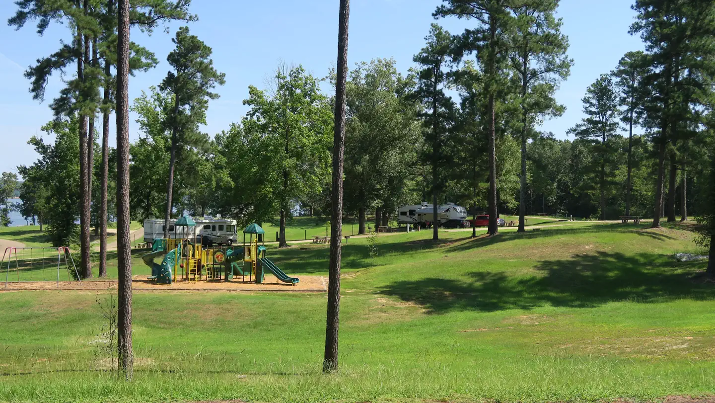 Water Valley LandingLake fishing1.8 mi
- Water Valley Landing TrailHiking2 mi
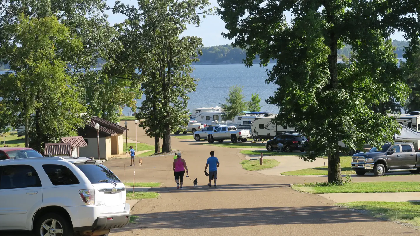 Chickasaw HillLake fishing3.2 mi
- Rocky Ridge Horse TrailHiking4.3 mi
- Enid LakeLake fishing4.7 mi
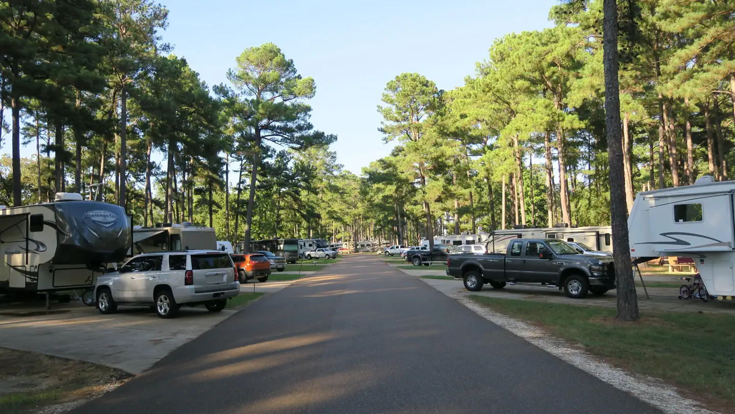 Persimmon Hill(enid Lake)Lake fishing5.6 mi
 Quail Run TrailHikingPhoto: jwood601, CC BY 2.0 (via Flickr)5.8 mi
- Beech Hollow Nature TrailHiking6.6 mi
Source: Roamze catalog (indexable pages within 10 miles, PostGIS distance)
- Quail Run TrailHiking · ~10 min drivePhoto: jwood601, CC BY 2.0 (via Flickr)
- Spyglass Hill TrailHiking · Next door
- South Campus Rail TrailHiking · ~36 min drive
- Water Valley Landing TrailHiking · ~3 min drive
- Rocky Ridge Horse TrailHiking · ~7 min drive
- Expert LoopHiking · ~36 min drive
- Beech Hollow Nature TrailHiking · ~11 min drive
- Tanglefoot TrailHiking · ~1h 22m drive
- 5-Mile Hiking TrailHiking · ~1h 23m drive
- Intermediate LoopHiking · ~37 min drive
Best time to visit Spyglass Hill Trail
Best months: February–May and October–December. Best months have typical highs of 55–85 °F, lows of 30 °F or warmer (32 °F where the station doesn't record snow), at most one snowy day and no more than 12 wet days.
Jan
53° / 30°
9 wet
Feb
57° / 32°
8 wet
Mar
66° / 40°
9 wet
Apr
74° / 48°
9 wet
May
82° / 58°
9 wet
Jun
88° / 66°
8 wet
Jul
90° / 70°
8 wet
Aug
91° / 68°
7 wet
Sep
86° / 61°
6 wet
Oct
76° / 49°
6 wet
Nov
64° / 38°
8 wet
Dec
55° / 33°
9 wet
Typical high / low (°F) and days with rain or snow, 1991–2020. Measured at Water Valley, MS, 9.3 mi away at 310 ft. Source: NOAA NCEI U.S. Climate Normals 1991–2020.
Map and trail data © OpenStreetMap contributors
