Quail Run Trail
 Photo: jwood601, CC BY 2.0 (via Flickr)
- 1.6 mi
- round trip
- 236 ft
- climb
- 337 ft
- high point
- Out and back
- route
- Feb–May, Oct–Dec
- best months
Clear today
Weather is good · OpenWeather · checked 6 h ago
Quail Run Trail is an easy out-and-back hike in George P. Cossar State Park in Mississippi, managed by State Park and Recreation. The trail is about 1.6 miles long, and the round trip covers roughly 3.3 miles with a total elevation gain of about 236 feet. The route starts at an elevation of about 326 feet and reaches a high point of about 337 feet, with the steepest stretch at about 1.2 miles in, where the grade reaches about 7%. Spring and fall are the most comfortable times to go. Typical averages from a nearby weather station in Batesville show April highs around 74°F and October highs around 77°F, while July and August average about 91°F. The trail makes an easy pairing with other spots in the park. Persimmon Hill (Enid Lake) is about half a mile away, and Enid Lake is about 1.5 miles off. Beech Hollow Nature Trail is about 2.5 miles away, and Wallace Creek, a river fishing spot, is about 2.2 miles away.
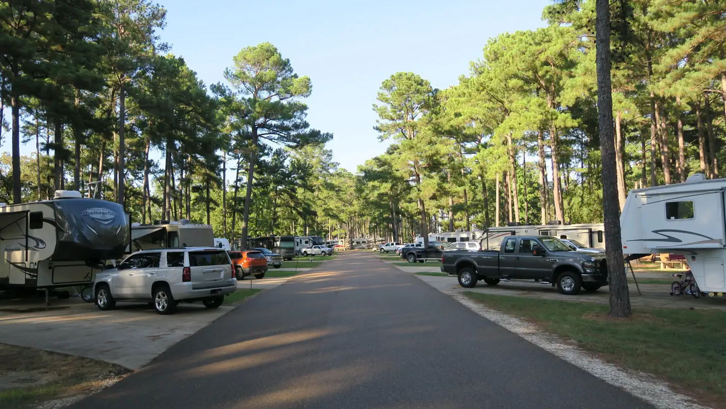 Persimmon Hill(enid Lake)Lake fishing0.5 mi
- Enid LakeLake fishing1.5 mi
 Wallace CreekRiver fishing2.2 mi
- Beech Hollow Nature TrailHiking2.5 mi
- Rocky Ridge Horse TrailHiking3.2 mi
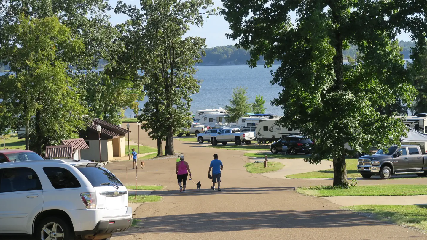 Chickasaw HillLake fishing4.6 mi
- Spyglass Hill TrailHiking5.8 mi
- Water Valley Landing TrailHiking7.4 mi
Source: Roamze catalog (indexable pages within 10 miles, PostGIS distance)
- Beech Hollow Nature TrailHiking · ~4 min drive
- Rocky Ridge Horse TrailHiking · ~5 min drive
- Expert LoopHiking · ~40 min drive
- Spyglass Hill TrailHiking · ~10 min drive
- Spyglass Hill TrailHiking · ~10 min drive
- South Campus Rail TrailHiking · ~43 min drive
- Water Valley Landing TrailHiking · ~13 min drive
- 5-Mile Hiking TrailHiking · ~1h 19m drive
- Intermediate LoopHiking · ~40 min drive
- Beginner LoopHiking · ~40 min drive
Best time to visit Quail Run Trail
Best months: February–May and October–December. Best months have typical highs of 55–85 °F, lows of 30 °F or warmer (32 °F where the station doesn't record snow), at most one snowy day and no more than 12 wet days.
Jan
52° / 31°
Feb
56° / 34°
Mar
65° / 40°
Apr
74° / 49°
May
82° / 59°
Jun
88° / 67°
Jul
91° / 70°
Aug
91° / 68°
Sep
87° / 61°
Oct
77° / 50°
Nov
64° / 39°
Dec
55° / 33°
Typical high / low (°F) and days with rain or snow, 1991–2020. Measured at Batesville 2 Sw, MS, 13.2 mi away at 220 ft. This station doesn't record snowfall. Source: NOAA NCEI U.S. Climate Normals 1991–2020.
Map and trail data © OpenStreetMap contributors
