TU Donivan Slough Trail
- 0.3 mi
- loop
- 323 ft
- high point
- Loop
- route
- Easy
- difficulty
Is TU Donivan Slough Trail open right now?
Closure in the area
There's a closure order in Natchez Trace Parkway. It doesn't name TU Donivan Slough Trail, so check the source for the area it covers.
Current Park Closures
Park closure covering Natchez Trace Parkway · NPS · Natchez Trace Parkway
As of · Source: NPS · Natchez Trace Parkway. Agencies don't list every closure — check before you go.
Donivan Slough Trail is a short, easy loop on the Natchez Trace Parkway in Mississippi, managed by the National Park Service. The trail is about 0.3 miles long and sits entirely within the parkway's boundaries, with no elevation gain over the course of the loop. The route is flat for most of the way, with the steepest stretch at about 0.23 miles in, where the grade reaches 4%. Spring and fall are the most comfortable times to visit. Typical averages from a nearby weather station show October highs around 74°F with lows near 49°F, and April highs around 73°F. Summer runs hotter, with July and August highs near 89°F. There is no fee to hike the trail. Paddlers can find several waterways within about 10 miles, including Mackeys Creek at 5.1 miles, the Tombigbee River at 8.1 miles, Little Brown Creek at 8.6 miles and Big Brown Creek at 10 miles.
- Mackeys CreekCanoeing5.1 mi
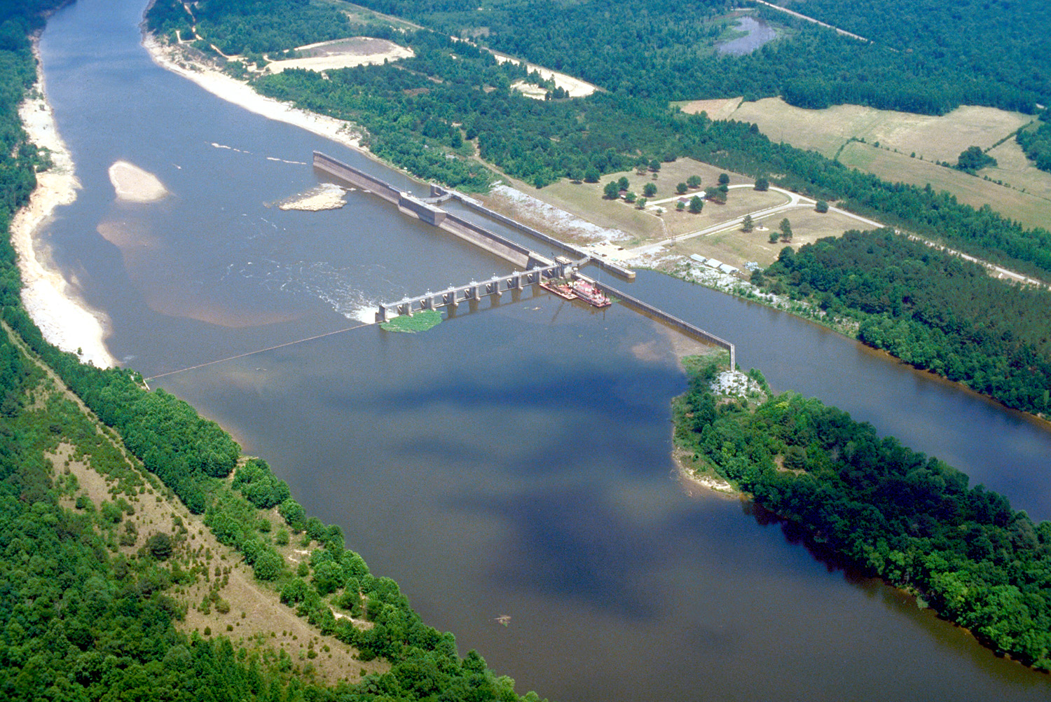 Tombigbee RiverCanoeingPhoto: U.S. Army Corps of Engineers, photographer not specified or unknown, Public domain (via Wikimedia Commons)8.1 mi
- Little Brown CreekCanoeing8.6 mi
- Big Brown CreekCanoeing10 mi
Source: Roamze catalog (indexable pages within 10 miles, PostGIS distance)
 Bear Creek TrailHiking · ~33 min drivePhoto: MichaelGras, CC BY 2.0 (via Flickr)
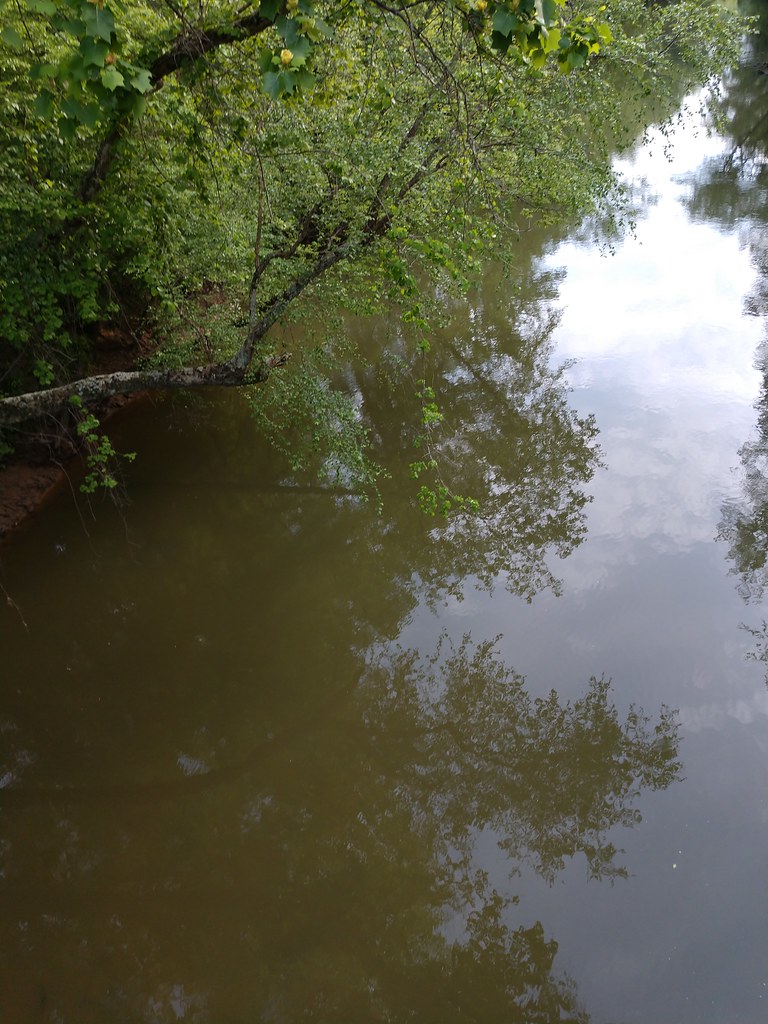 Ccc Camp TrailHiking · ~34 min drivePhoto: MichaelGras, CC BY 2.0 (via Flickr)
- Witch Dance Horse TrailHiking · ~1h 15m drive
- DA Bynum Mounds TrailHiking · ~1h 19m drive
- Natchez Trace TrailHiking · ~33 min drivePhoto: MichaelGras, CC BY 2.0 (via Flickr)
- Tanglefoot TrailHiking · ~1h 25m drive
- Saddle Back Ridge TrailHiking · ~33 min drivePhoto: MichaelGras, CC BY 2.0 (via Flickr)
- Payamatha Horse TrailHiking · ~1h 12m drive
- Outcroppings TrailHiking · ~34 min drivePhoto: MichaelGras, CC BY 2.0 (via Flickr)
 CH Rock Springs TrailHiking · ~1h 13m drivePhoto: Mike Tilley, CC BY 3.0 (via Wikimedia Commons)
