Mackeys Creek
- 7.0 mi
- distance
- 325 ft
- high point
- Feb–May, Sep–Nov
- best months
Mackeys Creek is a 7-mile paddling stretch near Marietta, Mississippi, managed by the U.S. Army Corps of Engineers. It runs through the Canal Section WMA, and the creek is intermittent, so it may run dry in some seasons. USGS models an average flow of about 239 cubic feet per second and a gradient of about 4.2 feet per mile. Spring and fall are the most comfortable times to paddle. Typical averages from a nearby weather station show October highs around 74°F with lows near 49°F, and April is similar at about 73°F by day and 48°F at night. Midsummer highs typically reach the upper 80s. Nearby options include the TU Donivan Slough Trail, about 5 miles away, and Little Brown Creek and the Tombigbee River, both within about 8 miles.
Local outfitters
- Pickwick Pontoon Rentals38 mi away
Not on Roamze yet. Their page has how to reach them.
- TU Donivan Slough TrailHiking5.1 mi
- Little Brown CreekCanoeing7.2 mi
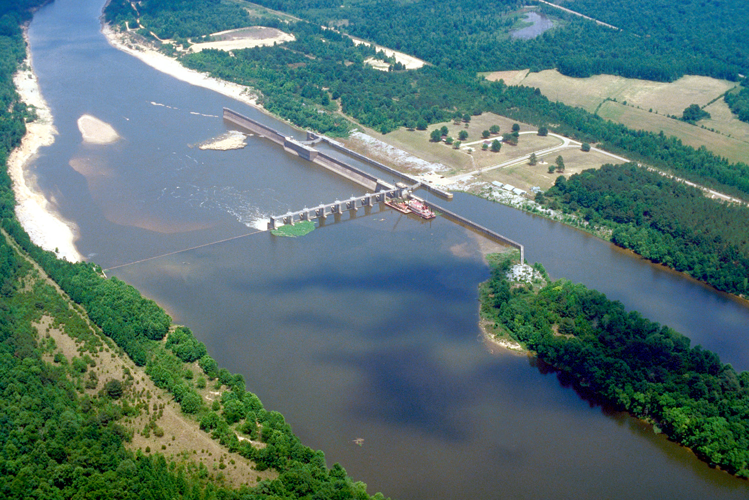 Tombigbee RiverCanoeingPhoto: U.S. Army Corps of Engineers, photographer not specified or unknown, Public domain (via Wikimedia Commons)7.8 mi
Source: Roamze catalog (indexable pages within 10 miles, PostGIS distance)
- Tombigbee RiverCanoeing · ~13 min drivePhoto: U.S. Army Corps of Engineers, photographer not specified or unknown, Public domain (via Wikimedia Commons)
- Walker's Levee Boat RampBoat launch · ~4 min drive
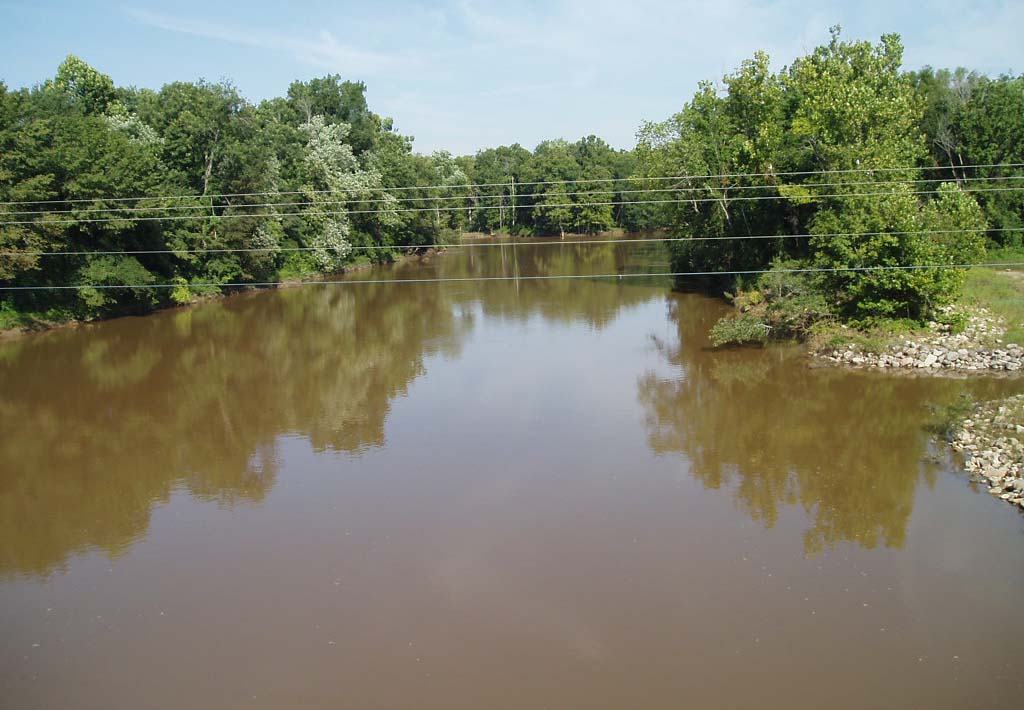 Hatchie RiverCanoeing · ~47 min drivePhoto: noaa.gov, Public domain (via Wikimedia Commons)
- Fulton Boat RampBoat launch · ~20 min drive
- Little Brown CreekCanoeing · ~12 min drive
- Old Highway 78 Boat RampBoat launch · ~22 min drive
- Big Brown CreekCanoeing · ~18 min drive
- Ironwood Bluff Boat RampBoat launch · ~39 min drive
- Gum CreekCanoeing · ~21 min drive
- Piney Point Boat RampBoat launch · ~40 min drive
Best time to visit Mackeys Creek
Best months: February–May and September–November. Best months have typical highs of 55–85 °F, lows of 30 °F or warmer (32 °F where the station doesn't record snow), at most one snowy day and no more than 12 wet days.
Jan
51° / 30°
10 wet
Feb
56° / 33°
10 wet
Mar
65° / 40°
10 wet
Apr
73° / 48°
9 wet
May
80° / 58°
10 wet
Jun
86° / 66°
9 wet
Jul
89° / 69°
9 wet
Aug
89° / 68°
8 wet
Sep
84° / 61°
7 wet
Oct
74° / 49°
7 wet
Nov
62° / 38°
9 wet
Dec
53° / 33°
11 wet
Typical high / low (°F) and days with rain or snow, 1991–2020. Measured at Fulton 3 W, MS, 14.1 mi away at 350 ft. Source: NOAA NCEI U.S. Climate Normals 1991–2020.


