Chickasaw Village Trail
- 1.5 mi
- round trip
- 247 ft
- climb
- 324 ft
- high point
- Out and back
- route
- Feb–May, Sep–Nov
- best months
Clear at last check
Weather is good · OpenWeather · checked 16 h ago
Is Chickasaw Village Trail open right now?
Closure in the area
There's a closure order in Natchez Trace Parkway. It doesn't name Chickasaw Village Trail, so check the source for the area it covers.
Current Park Closures
Park closure covering Natchez Trace Parkway · NPS · Natchez Trace Parkway
As of · Source: NPS · Natchez Trace Parkway. Agencies don't list every closure — check before you go.
Chickasaw Village Trail is a short, easy hike on the Natchez Trace Parkway in Mississippi, managed by the National Park Service. The trail is about 1.5 miles long, and the round trip adds up to about 3 miles with a total elevation gain of about 66 feet. The route is an out-and-back, and the steepest stretch comes at about 0.78 miles in, with a grade of about 6 percent. Spring and fall are the most comfortable times to go. Typical averages from a nearby weather station in Tupelo show October highs around 75°F with lows near 52°F, and April highs around 73°F. July and August average highs near 90°F. The trail sits right next to the NST - Blackland Prairie Section, about 0.1 mile away. The Chickasaw Village Self Guiding Trail and the Natchez Trace Trail - Blackland Prairie Section are each about 1.1 miles off. Paddlers can find Town Creek about 3.5 miles away.
- NST - Blackland Prairie SectionHiking0.1 mi
- Chickasaw Village Self Guiding TrailHiking1.1 mi
- Natchez Trace Trail - Blackland Prairie SectionHiking1.1 mi
- Town CreekCanoeing3.5 mi
- TU National Scenic TrailHiking3.9 mi
- Mud CreekCanoeing4 mi
- Coonewah CreekCanoeing5 mi
- Yonaba CreekCanoeing5.1 mi
Source: Roamze catalog (indexable pages within 10 miles, PostGIS distance)
 Bear Creek TrailHiking · ~1h 6m drivePhoto: MichaelGras, CC BY 2.0 (via Flickr)
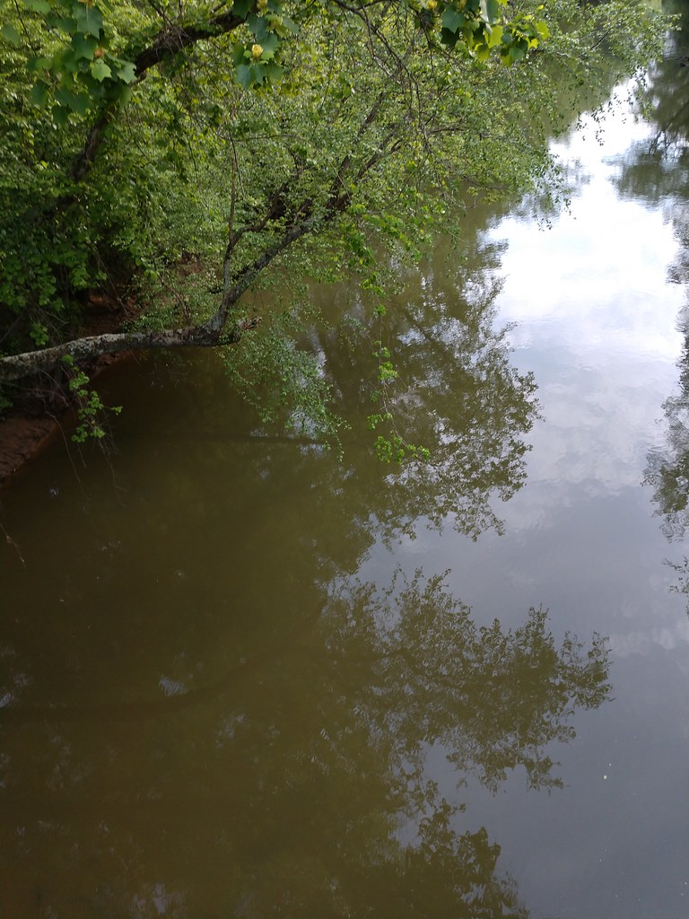 Ccc Camp TrailHiking · ~1h 7m drivePhoto: MichaelGras, CC BY 2.0 (via Flickr)
- Witch Dance Horse TrailHiking · ~43 min drive
- DA Bynum Mounds TrailHiking · ~48 min drive
- Natchez Trace TrailHiking · ~1h 6m drivePhoto: MichaelGras, CC BY 2.0 (via Flickr)
- South Campus Rail TrailHiking · ~1h 19m drive
- Tanglefoot TrailHiking · ~52 min drive
- Saddle Back Ridge TrailHiking · ~1h 7m drivePhoto: MichaelGras, CC BY 2.0 (via Flickr)
- Payamatha Horse TrailHiking · ~40 min drive
- Outcroppings TrailHiking · ~1h 7m drivePhoto: MichaelGras, CC BY 2.0 (via Flickr)
Also worth it near here
- Old Highway 78 Boat RampBoat launch · ~31 min drive
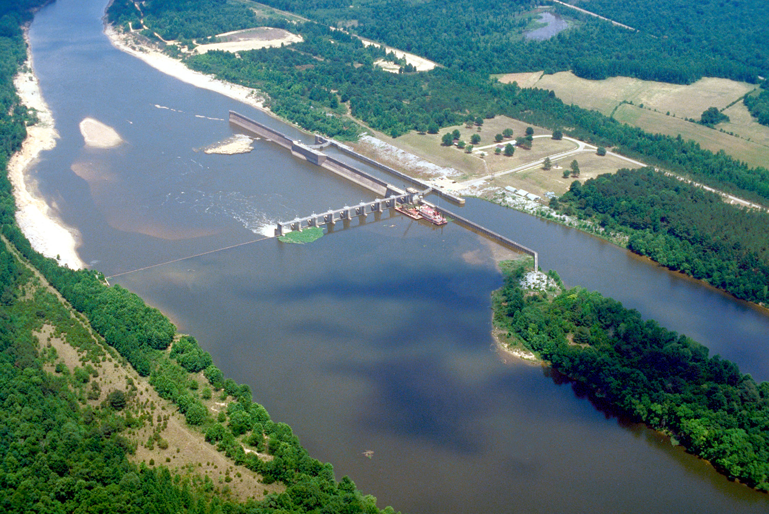 Tombigbee RiverCanoeing · ~32 min drivePhoto: U.S. Army Corps of Engineers, photographer not specified or unknown, Public domain (via Wikimedia Commons)
- Whitten ParkLake fishing · ~32 min drive
 Puskus LakeCamping · ~1h 2m drivePhoto: Fredlyfish4, CC BY-SA 3.0 (via Wikimedia Commons)
Best time to visit Chickasaw Village Trail
Best months: February–May and September–November. Best months have typical highs of 55–85 °F, lows of 30 °F or warmer (32 °F where the station doesn't record snow), at most one snowy day and no more than 12 wet days.
Jan
51° / 32°
11 wet
Feb
55° / 36°
10 wet
Mar
64° / 43°
10 wet
Apr
73° / 51°
9 wet
May
81° / 60°
9 wet
Jun
87° / 68°
9 wet
Jul
90° / 72°
9 wet
Aug
90° / 71°
8 wet
Sep
85° / 63°
6 wet
Oct
75° / 52°
7 wet
Nov
63° / 41°
8 wet
Dec
54° / 35°
10 wet
Typical high / low (°F) and days with rain or snow, 1991–2020. Measured at Tupelo 2, MS, 1.6 mi away at 350 ft. Source: NOAA NCEI U.S. Climate Normals 1991–2020.
