Chickasaw Village Self Guiding Trail
- 1.9 mi
- one way
- 58 ft
- climb
- 324 ft
- high point
- Point to point
- route
- Feb–May, Sep–Nov
- best months
Is Chickasaw Village Self Guiding Trail open right now?
Closure in the area
There's a closure order in Natchez Trace Parkway. It doesn't name Chickasaw Village Self Guiding Trail, so check the source for the area it covers.
Current Park Closures
Park closure covering Natchez Trace Parkway · NPS · Natchez Trace Parkway
As of · Source: NPS · Natchez Trace Parkway. Agencies don't list every closure — check before you go.
Chickasaw Village Self Guiding Trail is a short, easy hike of about 1.9 miles on the Natchez Trace Parkway in Mississippi, managed by the National Park Service. The trail runs from a low point of 287 feet to a high of 324 feet, with a climb of 58 feet, and the steepest part of the route comes at the end, reaching a 7% grade. Spring and fall are the most comfortable times to visit. Typical averages from a nearby weather station in Tupelo put October highs around 75°F with lows near 52°F, and April is similar at about 73°F and 51°F. Summer highs typically reach the low 90s. The trail starts at the NST - Blackland Prairie Section Trail Trailhead, and the Natchez Trace Trail - Blackland Prairie Section lies just 0.1 mile away. The Chickasaw Village Trail and the TU National Scenic Trail are both within about 5 miles. Paddlers can find Coonewah Creek roughly 3.9 miles from the trail.
- Natchez Trace Trail - Blackland Prairie SectionHiking0.1 mi
- NST - Blackland Prairie SectionHiking1.1 mi
- Chickasaw Village TrailHiking1.1 mi
- Coonewah CreekCanoeing3.9 mi
- Town CreekCanoeing4.1 mi
- TU National Scenic TrailHiking5 mi
- Mud CreekCanoeing5.1 mi
- Yonaba CreekCanoeing6 mi
Source: Roamze catalog (indexable pages within 10 miles, PostGIS distance)
 Bear Creek TrailHiking · ~1h 8m drivePhoto: MichaelGras, CC BY 2.0 (via Flickr)
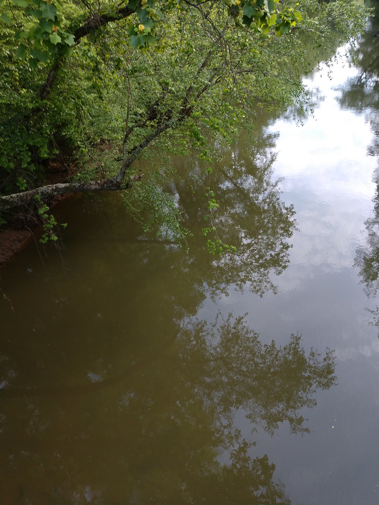 Ccc Camp TrailHiking · ~1h 9m drivePhoto: MichaelGras, CC BY 2.0 (via Flickr)
- Witch Dance Horse TrailHiking · ~41 min drive
- DA Bynum Mounds TrailHiking · ~46 min drive
- Natchez Trace TrailHiking · ~1h 8m drivePhoto: MichaelGras, CC BY 2.0 (via Flickr)
- South Campus Rail TrailHiking · ~1h 18m drive
- Tanglefoot TrailHiking · ~50 min drive
- Saddle Back Ridge TrailHiking · ~1h 9m drivePhoto: MichaelGras, CC BY 2.0 (via Flickr)
- Payamatha Horse TrailHiking · ~38 min drive
- Outcroppings TrailHiking · ~1h 9m drivePhoto: MichaelGras, CC BY 2.0 (via Flickr)
Also worth it near here
- Old Highway 78 Boat RampBoat launch · ~32 min drive
- Whitten ParkLake fishing · ~33 min drive
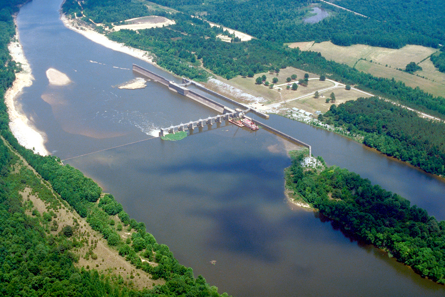 Tombigbee RiverCanoeing · ~33 min drivePhoto: U.S. Army Corps of Engineers, photographer not specified or unknown, Public domain (via Wikimedia Commons)
 Puskus LakeCamping · ~1h 2m drivePhoto: Fredlyfish4, CC BY-SA 3.0 (via Wikimedia Commons)
Best time to visit Chickasaw Village Self Guiding Trail
Best months: February–May and September–November. Best months have typical highs of 55–85 °F, lows of 30 °F or warmer (32 °F where the station doesn't record snow), at most one snowy day and no more than 12 wet days.
Jan
51° / 32°
11 wet
Feb
55° / 36°
10 wet
Mar
64° / 43°
10 wet
Apr
73° / 51°
9 wet
May
81° / 60°
9 wet
Jun
87° / 68°
9 wet
Jul
90° / 72°
9 wet
Aug
90° / 71°
8 wet
Sep
85° / 63°
6 wet
Oct
75° / 52°
7 wet
Nov
63° / 41°
8 wet
Dec
54° / 35°
10 wet
Typical high / low (°F) and days with rain or snow, 1991–2020. Measured at Tupelo 2, MS, 0.7 mi away at 350 ft. Source: NOAA NCEI U.S. Climate Normals 1991–2020.
Map and trail data © OpenStreetMap contributors
