Wetland Loop
- 1.7 mi
- round trip
- 211 ft
- climb
- 926 ft
- high point
- Out and back
- route
- Apr–Oct
- best months
Wetland Loop is a 3.5-mile out-and-back cross-country ski route in the Vermillion Highlands Research Recreation and State Wildlife Management Area in southern Minnesota, managed by State Fish and Wildlife. The loop is a moderate ski, with a steady climb of about 211 feet over the course of the trip, and the high point sits at 926 feet. The route is short enough to fit into a day of exploring the surrounding area. Winter is the natural season for this trail. Typical averages from a nearby weather station show January highs around 22°F with lows near 3°F, while March runs about 40°F by day and 20°F at night. The station sits at nearly the same elevation as the loop, so those figures are a fair guide to conditions on the trail. Pine Loop, a hike, lies just 0.1 mile away, and Lone Rock Loop, another cross-country ski route, is 0.3 mile off. Farm Loop is about a mile away, and paddlers can reach the Vermillion River, roughly 6 miles from the trail.
Best time to go · Apr–Oct
Best time to visit Wetland Loop
Best months: April–October. Best months have typical highs of 55–85 °F, lows of 30 °F or warmer (32 °F where the station doesn't record snow), at most one snowy day and no more than 12 wet days.
Jan
22° / 3°
Feb
27° / 7°
Mar
40° / 20°
Apr
56° / 34°
May
68° / 47°
Jun
77° / 57°
Jul
81° / 61°
Aug
79° / 58°
Sep
72° / 50°
Oct
59° / 37°
Nov
42° / 23°
Dec
28° / 11°
Typical high / low (°F) and days with rain or snow, 1991–2020. Measured at Rosemount Rsch & Outreach Ctr, MN, 2.9 mi away at 945 ft. This station doesn't record snowfall. Source: NOAA NCEI U.S. Climate Normals 1991–2020.
Keep exploring — more snow worth the drive
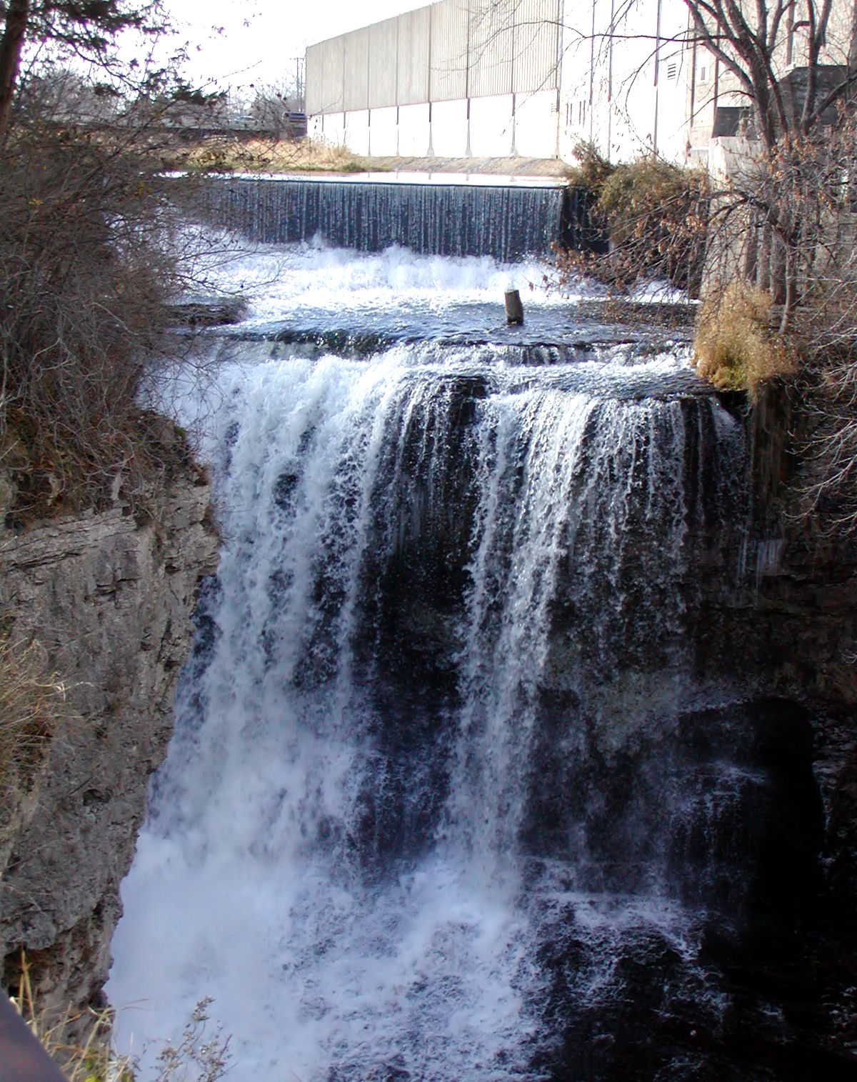
 Photo: Baseball Bugs, CC BY-SA 4.0 (via Wikimedia Commons)
Buck Hill
~20 min drive
SKI
Lone Rock Loop
Next door
0.28-mile out-and-back out-and-back in Minnesota with 38 ft of elevation gain.
SKI
Pike Island Trail
~26 min drive
3.08-mile loop with 752 ft elevation gain in Minnesota.
SKI
Competition Hill
~29 min drive
Competition Hill is a 0.17-mile out-and-back ski trail in Minnesota with 132 feet of elevation gain.
SKI
Wetland Loop
Next door
1.52-mile out-and-back out-and-back with 143 ft elevation gain in Minnesota wetlands.
SKI
Connector
~29 min drive
0.13-mile out-and-back connector ski route in Minnesota with 14 ft of elevation gain.
SKI
Ironwood Trail
~29 min drive
1.20-mile out-and-back route in Minnesota with 94 ft of elevation gain.
SKI
Farm Loop
~2 min drive
1.14-mile out-and-back route in Minnesota with 68 ft of elevation gain.
SKI
Meadow Loop
~29 min drive
0.18-mile out-and-back ski out-and-back in Minnesota with 64 ft of elevation gain.
SKI
Lower Ironwood Trail
~29 min drive
0.46-mile out-and-back trail in Minnesota with 35 ft of elevation gain.
Map and trail data © OpenStreetMap contributors
