Pike Island Trail
- 3.1 mi
- loop
- 705 ft
- high point
- Loop
- route
- Easy
- difficulty
- Apr–Oct
- best months
Is Pike Island Trail open right now?
No closures listed
The National Park Service lists no closures for Mississippi National River and Recreation Area.
As of · Source: NPS · Mississippi National River and Recreation Area. Agencies don't list every closure — check before you go.
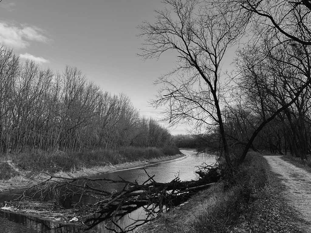
Pike Island Trail is a 3.1-mile loop in Fort Snelling State Park, within the Mississippi National River and Recreation Area in Minnesota. The land is managed by State Park and Recreation, and the route is rated easy, with no elevation gain over the course of the loop. The trail starts and ends at about 700 feet, and the steepest stretch comes at about 2.1 miles in, with a grade of 8 percent. Winter is the natural season for cross-country skiing here. Typical averages from a nearby weather station in Minneapolis show January highs around 24°F and lows near 9°F, while February runs a little warmer, with highs around 29°F. Several short loops sit close by. The Scarlet Tanager Loop and Indigo Bunting Loop are each about a mile away, and the Baltimore Oriole Loop is about 1.2 miles off. The Hillside Trail is roughly 2.8 miles away.
Best time to go · Apr–Oct
Best time to visit Pike Island Trail
Best months: April–October. Best months have typical highs of 55–85 °F, lows of 30 °F or warmer (32 °F where the station doesn't record snow), at most one snowy day and no more than 12 wet days.
Jan
24° / 9°
10 wet
Feb
29° / 13°
8 wet
Mar
42° / 25°
9 wet
Apr
57° / 38°
11 wet
May
69° / 50°
12 wet
Jun
79° / 60°
12 wet
Jul
83° / 65°
10 wet
Aug
81° / 63°
10 wet
Sep
73° / 54°
9 wet
Oct
58° / 41°
9 wet
Nov
42° / 28°
9 wet
Dec
29° / 15°
9 wet
Typical high / low (°F) and days with rain or snow, 1991–2020. Measured at Minneapolis/St Paul Ap, MN, 2.6 mi away at 872 ft. This station doesn't record snowfall. Source: NOAA NCEI U.S. Climate Normals 1991–2020.
Keep exploring — more snow worth the drive
SEE
Hyland Hills Ski Area
~17 min drive
Hyland Hills Ski Area in Minnesota has 7 lifts and 11 runs with 3 easy, 5 intermediate, and 3 advanced options.
SKI
Short Ski Trail
~10 min drive
0.20-mile out-and-back ski trail in Minnesota with 25 ft of elevation gain.
SKI
Goat
~14 min drive
0.19-mile out-and-back ski trail in Minnesota with 16 ft of elevation gain.
SKI
Connector
~15 min drive
0.11-mile out-and-back connector route in Minnesota with 13 ft of elevation gain.
SKI
Long Ski Trail
~10 min drive
0.70-mile out-and-back ski trail in Minnesota with 80 ft of elevation gain.
SKI
Competition Hill
~14 min drive
Competition Hill is a 0.17-mile out-and-back ski trail in Minnesota with 132 feet of elevation gain.
SKI
Bridge Trail
~17 min drive
0.43-mile out-and-back trail in Minnesota with 45 ft of elevation gain.
SKI
Bde Maka Ska Lake Trail
~13 min drive
2.88-mile loop at Bde Maka Ska Lake in Minnesota.
SKI
Horseshoe Trail
~15 min drive
0.12-mile out-and-back cross-country ski trail in Minnesota.
SKI
Bde Maka Ska Connector
~13 min drive
0.19-mile out-and-back ski trail in Minnesota with 3 feet of elevation gain.

Map and trail data © OpenStreetMap contributors
