Horseshoe Trail
- 0.1 mi
- round trip
- 58 ft
- climb
- 933 ft
- high point
- Out and back
- route
- Apr–Oct
- best months
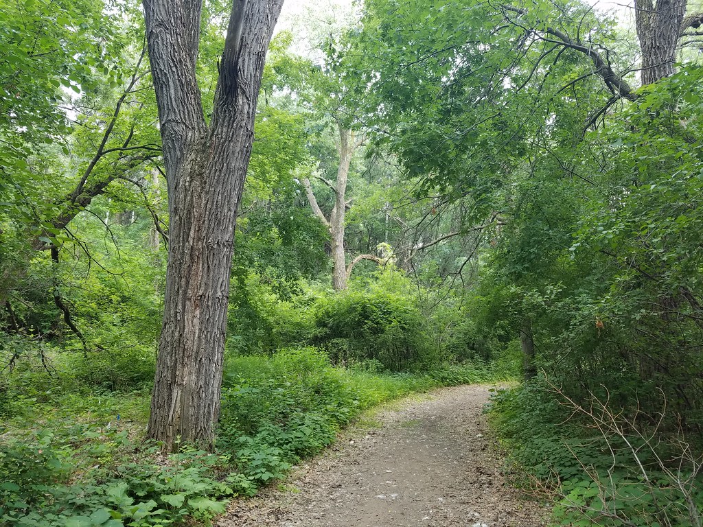
Horseshoe Trail is a short, out-and-back cross-country ski route in Battle Creek Regional Park, on county land in Minnesota. The trail is about 0.24 miles long, with a total climb of 58 feet, and it starts and ends at roughly 924 feet. The high point is 933 feet, and the steepest stretch comes at about 0.07 miles, with a grade of 6 percent. Winter is the natural season for this trail. Typical averages from a nearby weather station in St. Paul show January highs around 23°F and lows near 8°F, while March runs about 41°F by day and 23°F at night. The station sits at a similar elevation to the trail, so these figures are a fair guide to conditions on the snow. The trail sits among a cluster of other cross-country ski routes. Pond Loop, Prairie Loop and The Shoe are each about 0.1 miles away, and Competition Hill is about 0.4 miles off.
- Pond LoopCross-country skiing0.1 mi
- Prairie LoopCross-country skiing0.1 mi
- The ShoeCross-country skiing0.1 mi
- ConnectorCross-country skiing0.1 mi
- GoatCross-country skiing0.3 mi
- Competition HillCross-country skiing0.4 mi
- Meadow LoopCross-country skiing0.5 mi
- BowlCross-country skiing0.5 mi
Source: Roamze catalog (indexable pages within 10 miles, PostGIS distance)
- Pond LoopCross-country skiing · Next door
- The ShoeCross-country skiing · Next door
- ConnectorCross-country skiing · Next door
- North TrailCross-country skiing · ~11 min drive
- Prairie LoopCross-country skiing · Next door
- GoatCross-country skiing · Next door
- Bobolink LoopCross-country skiing · ~20 min drive
- Sucker Lake Nordic Ski TrailCross-country skiing · ~17 min drive
- Pond LoopCross-country skiing · Next door
- Competition HillCross-country skiing · Next door
Best time to visit Horseshoe Trail
Best months: April–October. Best months have typical highs of 55–85 °F, lows of 30 °F or warmer (32 °F where the station doesn't record snow), at most one snowy day and no more than 12 wet days.
Jan
23° / 8°
Feb
28° / 11°
Mar
41° / 23°
Apr
56° / 36°
May
69° / 48°
Jun
78° / 58°
Jul
82° / 63°
Aug
80° / 61°
Sep
72° / 53°
Oct
57° / 39°
Nov
41° / 26°
Dec
28° / 14°
Typical high / low (°F) and days with rain or snow, 1991–2020. Measured at St Paul, MN, 1.1 mi away at 900 ft. This station doesn't record snowfall. Source: NOAA NCEI U.S. Climate Normals 1991–2020.
Map and trail data © OpenStreetMap contributors
