Nipisiquit Lake Trail
- 2.6 mi
- round trip
- 1,114 ft
- climb
- 1,341 ft
- high point
- Out and back
- route
- May, Jul–Sep
- best months
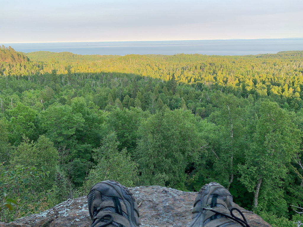
Nipisiquit Lake Trail is a 5.2-mile out-and-back cross-country ski route in Tettegouche State Park in Minnesota, managed by State Park and Recreation. The trail rises steadily from a starting point at about 1,200 feet to a high point of 1,341 feet, with a total climb of 1,114 feet over the course of the trip. The steepest stretch comes at about 1.3 miles in, where the grade reaches 16 percent. Winter is the natural season for this trail. Typical averages from a nearby weather station at Wolf Ridge put January highs around 19°F with lows near 1°F, while March runs about 35°F by day and 15°F at night. The station sits at a similar elevation to the trail, so these figures are a fair guide to conditions on the route. Papasay Ridge Bypass lies just 0.4 miles away, and Mic Mac Lake Trail and the Superior Hiking Trail spur are both about 1.3 miles off. Climbers can find the Mystical Mountain Zone roughly 2.3 miles away.
Local outfitters
- Sawtooth Outfitters24 mi away
Not on Roamze yet. Their page has how to reach them.
Best time to go · May, Jul–Sep
Best time to visit Nipisiquit Lake Trail
Best months: May and July–September. Best months have typical highs of 55–85 °F, lows of 30 °F or warmer (32 °F where the station doesn't record snow), at most one snowy day and no more than 12 wet days.
Jan
19° / 1°
10 wet
Feb
24° / 3°
8 wet
Mar
35° / 15°
9 wet
Apr
46° / 28°
9 wet
May
59° / 40°
12 wet
Jun
70° / 49°
13 wet
Jul
76° / 54°
12 wet
Aug
74° / 53°
12 wet
Sep
65° / 46°
12 wet
Oct
51° / 34°
11 wet
Nov
36° / 21°
10 wet
Dec
24° / 9°
10 wet
Typical high / low (°F) and days with rain or snow, 1991–2020. Measured at Wolf Ridge Elc, MN, 6.6 mi away at 1,400 ft. This station doesn't record snowfall. Source: NOAA NCEI U.S. Climate Normals 1991–2020.
Keep exploring — more snow worth the drive
 Photo: McGhiever, CC BY-SA 3.0 (via Wikimedia Commons)
Gitchi-Gami State Trail
~32 min drive
0.13-mile out-and-back route at Gitchi-Gami State Trail in Minnesota with 21 ft of elevation gain.
SKI
Temperance
~36 min drive
0.47-mile out-and-back route in Minnesota with 73 ft of elevation gain.
SKI
Seven Beavers
~40 min drive
Seven Beavers is a 53.84-mile point-to-point trail in Minnesota with 386 ft of elevation gain.
SKI
Papasay Ridge Bypass
Next door
0.82-mile out-and-back route in Minnesota with 202 ft of elevation gain.
Photo: McGhiever, CC BY-SA 3.0 (via Wikimedia Commons)Gitchi-Gami State Trail
~32 min drive
0.98-mile out-and-back route at Gitchi-Gami State Trail in Minnesota.
SKI
Gegoka Flathorn Connector B
~40 min drive
5.69-mile out-and-back route in Minnesota with 137 ft of elevation gain.
SKI
Mount Baldy Overlook Loop
~3 min drive
1.61-mile out-and-back route in Minnesota State Park with 128 ft elevation gain.
SKI
Nipisiquit Lake Trail
~2 min drive
1.34-mile out-and-back trail with 340 ft elevation gain in Minnesota.
SKI
River View Trail
~31 min drive
0.10-mile out-and-back trail in Minnesota with 16 ft of elevation gain.
SKI
Northwoods Ski Trails
~8 min drive
0.94-mile out-and-back ski trail in Minnesota with 174 ft of elevation gain.


Map and trail data © OpenStreetMap contributors
