Gitchi-Gami State Trail
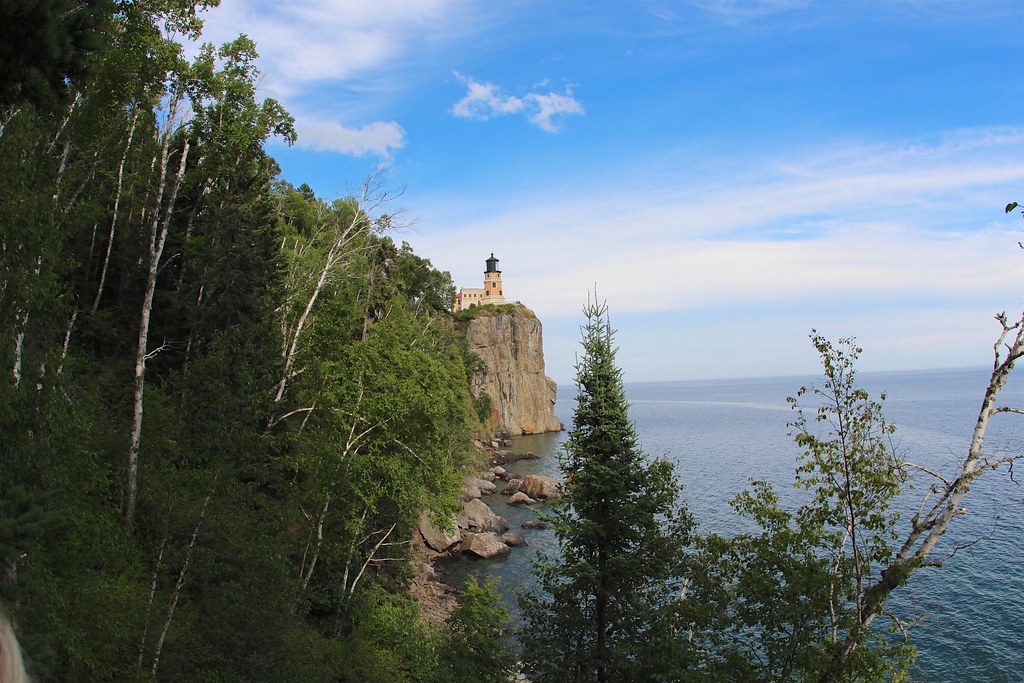
 Photo: McGhiever, CC BY-SA 3.0 (via Wikimedia Commons)
- 1.0 mi
- round trip
- 221 ft
- climb
- 708 ft
- high point
- Out and back
- route
- May, Jul–Sep
- best months
Caution at last check
Weather is marginal · OpenWeather · checked 18 h ago
Gitchi-Gami State Trail is a cross-country skiing route in Gooseberry Falls State Park in Minnesota, managed by State Park and Recreation. The trail is an out-and-back of about 2 miles, with a total climb of 221 feet and a high point of 708 feet. It is rated easy, and the steepest stretch comes at about 0.27 miles in, with a 5% grade. Winter is the natural season for skiing here. Typical averages from the nearby Two Harbors weather station show January highs around 24°F with lows near 7°F and about 8 snow days. By April, highs reach about 48°F, and snow days drop to two. Gooseberry Falls State Park Campground sits just 0.2 miles away, and the Superior Hiking Trail - Spur Trail and River View Trail are both within a mile. Climbers can find Silver Creek Tunnel Rock about 4.8 miles off.
Local outfitters
- Sawtooth Outfitters42 mi away
Not on Roamze yet. Their page has how to reach them.
Best time to go · May, Jul–Sep
Best time to visit Gitchi-Gami State Trail
Best months: May and July–September. Best months have typical highs of 55–85 °F, lows of 30 °F or warmer (32 °F where the station doesn't record snow), at most one snowy day and no more than 12 wet days.
Jan
24° / 7°
10 wet · 8 snow
Feb
28° / 10°
8 wet · 6 snow
Mar
37° / 21°
9 wet · 4 snow
Apr
48° / 31°
10 wet · 2 snow
May
58° / 39°
12 wet
Jun
67° / 46°
13 wet
Jul
75° / 55°
12 wet
Aug
75° / 56°
11 wet
Sep
67° / 49°
11 wet
Oct
54° / 38°
11 wet
Nov
40° / 26°
9 wet · 3 snow
Dec
29° / 14°
10 wet · 7 snow
Typical high / low (°F) and days with rain or snow, 1991–2020. Measured at Two Harbors, MN, 12 mi away at 625 ft. Source: NOAA NCEI U.S. Climate Normals 1991–2020.
Keep exploring — more snow worth the drive
Photo: McGhiever, CC BY-SA 3.0 (via Wikimedia Commons)Gitchi-Gami State Trail
Next door
0.13-mile out-and-back route at Gitchi-Gami State Trail in Minnesota with 21 ft of elevation gain.
SKI
Seven Beavers
~44 min drive
Seven Beavers is a 53.84-mile point-to-point trail in Minnesota with 386 ft of elevation gain.
SKI
Superior Hiking Trail - Spur Trail
Next door
0.55-mile out-and-back route on the Superior Hiking Trail in Minnesota.
SKI
Northwoods Ski Trails
~22 min drive
0.49-mile out-and-back ski trail in Minnesota with 76 ft gain.
SKI
River View Trail
~1 min drive
0.10-mile out-and-back trail in Minnesota with 16 ft of elevation gain.
SKI
Mount Baldy Overlook Loop
~30 min drive
1.61-mile out-and-back route in Minnesota State Park with 128 ft elevation gain.
SKI
Superior Hiking Trail - Spur Trail
~1 min drive
0.04-mile cross-country ski trail in Minnesota with 11 feet of elevation gain.
SKI
Northwoods Ski Trails
~22 min drive
1.17-mile out-and-back ski trail in Minnesota with 140 ft of elevation gain.
SKI
Finland Glade
~43 min drive
0.2 mi · Easy
SKI
Ski Trail
~54 min drive
0.2 mi · Hard

Map and trail data © OpenStreetMap contributors
