River View Trail
- 0.1 mi
- round trip
- 3 ft
- climb
- 625 ft
- high point
- Out and back
- route
- May, Jul–Sep
- best months
River View Trail is a short, easy cross-country ski route in Gooseberry Falls State Park in Minnesota, managed by State Park and Recreation. The trail is an out-and-back that starts and ends at nearly the same elevation, with a total climb of about 3 feet and a total loss of about 3 feet over a 0.2-mile round trip. The high point is about 625 feet, and the low point is about 613 feet, so the route is essentially flat. Winter is the natural season for this trail. Typical averages from the nearby Two Harbors weather station show January highs around 24°F with lows near 7°F and about 8 snow days, while March brings highs near 37°F and fewer snow days. Snow days drop to zero from May through September. Gooseberry Falls State Park Campground is about 0.6 miles away, and the Superior Hiking Trail - Spur Trail and the Gitchi-Gami State Trail are both within a mile. For a longer outing, the Corundrum Mine Trail is about 4.7 miles away.
Local outfitters
- Sawtooth Outfitters42 mi away
Not on Roamze yet. Their page has how to reach them.
Best time to go · May, Jul–Sep
Best time to visit River View Trail
Best months: May and July–September. Best months have typical highs of 55–85 °F, lows of 30 °F or warmer (32 °F where the station doesn't record snow), at most one snowy day and no more than 12 wet days.
Jan
24° / 7°
10 wet · 8 snow
Feb
28° / 10°
8 wet · 6 snow
Mar
37° / 21°
9 wet · 4 snow
Apr
48° / 31°
10 wet · 2 snow
May
58° / 39°
12 wet
Jun
67° / 46°
13 wet
Jul
75° / 55°
12 wet
Aug
75° / 56°
11 wet
Sep
67° / 49°
11 wet
Oct
54° / 38°
11 wet
Nov
40° / 26°
9 wet · 3 snow
Dec
29° / 14°
10 wet · 7 snow
Typical high / low (°F) and days with rain or snow, 1991–2020. Measured at Two Harbors, MN, 12.7 mi away at 625 ft. Source: NOAA NCEI U.S. Climate Normals 1991–2020.
Keep exploring — more snow worth the drive
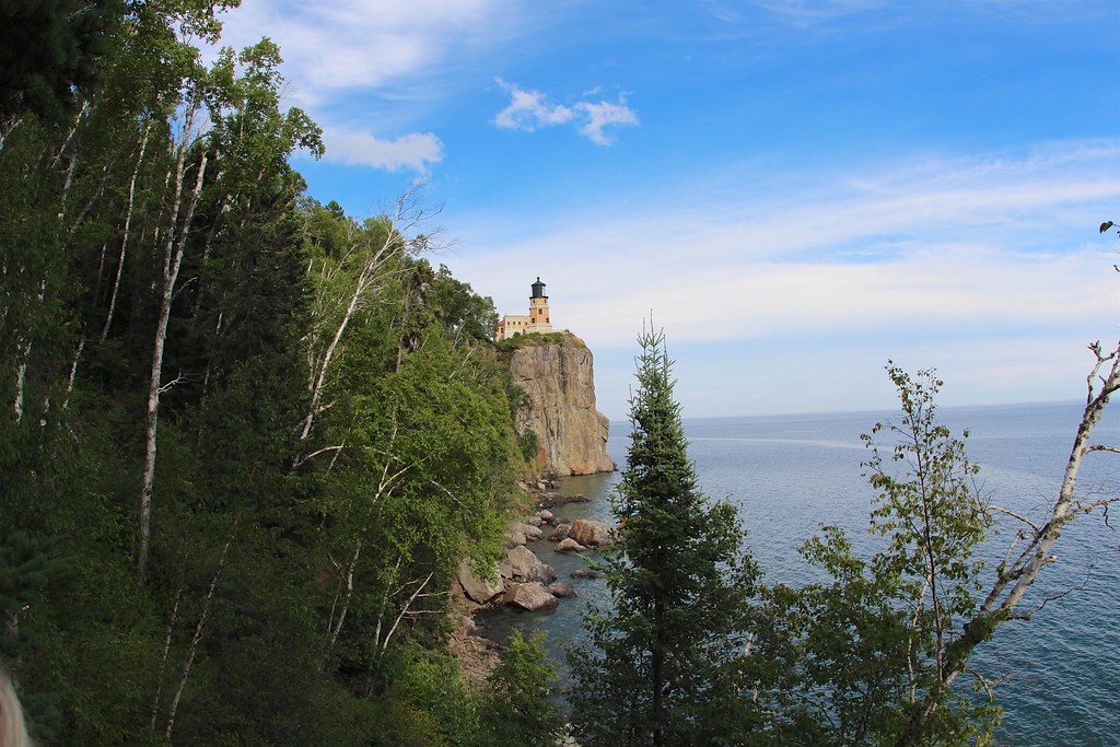
 Photo: McGhiever, CC BY-SA 3.0 (via Wikimedia Commons)
Gitchi-Gami State Trail
~1 min drive
0.13-mile out-and-back route at Gitchi-Gami State Trail in Minnesota with 21 ft of elevation gain.
SKI
Seven Beavers
~44 min drive
Seven Beavers is a 53.84-mile point-to-point trail in Minnesota with 386 ft of elevation gain.
SKI
Superior Hiking Trail - Spur Trail
~1 min drive
0.55-mile out-and-back route on the Superior Hiking Trail in Minnesota.
SKI
Northwoods Ski Trails
~21 min drive
0.49-mile out-and-back ski trail in Minnesota with 76 ft gain.
Photo: McGhiever, CC BY-SA 3.0 (via Wikimedia Commons)Gitchi-Gami State Trail
~1 min drive
0.98-mile out-and-back route at Gitchi-Gami State Trail in Minnesota.
SKI
Mount Baldy Overlook Loop
~29 min drive
1.61-mile out-and-back route in Minnesota State Park with 128 ft elevation gain.
SKI
Superior Hiking Trail - Spur Trail
~2 min drive
0.04-mile cross-country ski trail in Minnesota with 11 feet of elevation gain.
SKI
Northwoods Ski Trails
~21 min drive
1.17-mile out-and-back ski trail in Minnesota with 140 ft of elevation gain.
SKI
Finland Glade
~42 min drive
0.2 mi · Easy
SKI
Ski Trail
~56 min drive
0.2 mi · Hard

Map and trail data © OpenStreetMap contributors
