Maxwell Bay Public Water Access Site
- Apr, Jun–Oct
- best months
Maxwell Bay Public Water Access Site is a boat launch in Minnesota, about 1.2 miles from the town of Orono. It gives boaters a put-in on Maxwell Bay, a short drive from the center of town. Summer is the most comfortable time to get on the water. Typical averages from a nearby weather station in Chanhassen show July highs around 81°F with lows near 62°F, while winter highs stay in the 20s. Lake Minnetonka is about 2 miles away and offers fishing on Wayzata Bay. For time on foot, the Woodlands Loop hike is roughly 4.7 miles off, and the Prairie Trail and Hill Trail cross-country ski routes are each about 5 miles away.
- Lake MinnetonkaLake fishing2 mi
 Woodlands LoopHikingPhoto: controltheweb from US, CC BY-SA 2.0 (via Wikimedia Commons)4.7 mi
- Prairie TrailCross-country skiing4.9 mi
- Hill TrailCross-country skiing5 mi
- Timber TrailCross-country skiing5.1 mi
- Fairway TrailCross-country skiing5.1 mi
- Lake TrailHikingPhoto: controltheweb from US, CC BY-SA 2.0 (via Wikimedia Commons)5.2 mi
- Prairie LoopHiking5.2 mi
Source: Roamze catalog (indexable pages within 10 miles, PostGIS distance)
 Rice CreekCanoeing · ~43 min drivePhoto: Tim Kiser (w:User:Malepheasant), CC BY-SA 3.0 (via Wikimedia Commons)
- North Arm Boat LandingBoat launch · Next door
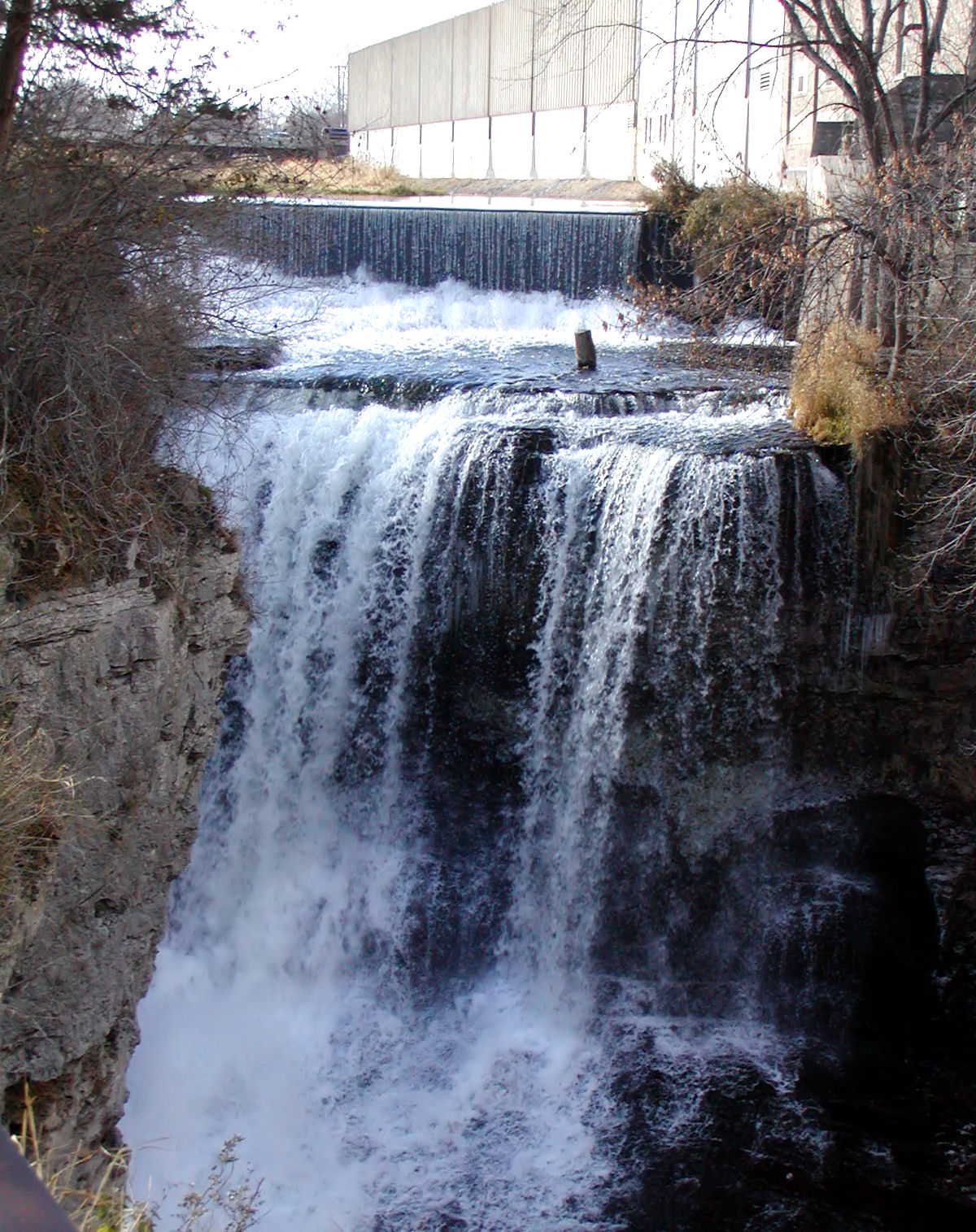 Vermillion RiverCanoeing · ~54 min drivePhoto: Appraiser at English Wikipedia, Public domain (via Wikimedia Commons)
- Carson's Bay LandingBoat launch · ~8 min drive
 Elk RiverCanoeing · ~1h 16m drivePhoto: The original uploader was Malepheasant at English Wikipedia., CC BY-SA 2.5 (via Wikimedia Commons)
- Grays Bay Public Water Access SiteBoat launch · ~9 min drive
 Sunrise RiverCanoeing · ~1h 22m drivePhoto: Tim Kiser, CC BY-SA 4.0 (via Wikimedia Commons)
- Russell A. Sorenson LandingBoat launch · ~32 min drive
- Bevens CreekCanoeing · ~29 min drive
- Mississippi River 83rd Ave N Boat RampBoat launch · ~33 min drive
Also worth it near here
Best time to visit Maxwell Bay Public Water Access Site
Best months: April and June–October. Best months have typical highs of 55–85 °F, lows of 30 °F or warmer (32 °F where the station doesn't record snow), at most one snowy day and no more than 12 wet days.
Jan
22° / 6°
9 wet
Feb
27° / 9°
8 wet
Mar
40° / 22°
9 wet
Apr
55° / 35°
11 wet
May
68° / 47°
13 wet
Jun
77° / 58°
12 wet
Jul
81° / 62°
10 wet
Aug
79° / 60°
10 wet
Sep
71° / 51°
10 wet
Oct
57° / 38°
10 wet
Nov
41° / 25°
8 wet
Dec
27° / 12°
9 wet
Typical high / low (°F) and days with rain or snow, 1991–2020. Measured at Chanhassen Wsfo, MN, 7.5 mi away at 946 ft. This station doesn't record snowfall. Source: NOAA NCEI U.S. Climate Normals 1991–2020.
Map and trail data © OpenStreetMap contributors
