Grays Bay Public Water Access Site
- Apr, Jun–Oct
- best months
Grays Bay Public Water Access Site is a boat launch in Minnesota, about 1.2 miles from Woodland. The City of Minnetonka manages the site. The most comfortable stretch for getting on the water runs from June through August. Typical July averages from the nearby New Hope weather station are a high of 82°F and a low of 63°F, and September still averages a high of 72°F. Off the water, the Minnetonka Loop Trail is about 2.5 miles away. Lake Minnetonka is about 4.5 miles away for fishing, and the Lone Lake Mountain Bike Trail is about 4.6 miles away. In winter, the Medicine Trail offers cross-country skiing within about 6 miles.
- Managed by
- City of Minnetonka
- Minnetonka Loop TrailHiking2.5 mi
- Lake MinnetonkaLake fishing4.5 mi
- Lone Lake Mountain Bike TrailHiking4.6 mi
- Medicine TrailCross-country skiing5.6 mi
- Skyline TrailCross-country skiing5.7 mi
- Lakeview TrailCross-country skiing5.9 mi
- Meadow TrailCross-country skiing5.9 mi
 Woodlands LoopHikingPhoto: controltheweb from US, CC BY-SA 2.0 (via Wikimedia Commons)6.3 mi
Source: Roamze catalog (indexable pages within 10 miles, PostGIS distance)
 Rice CreekCanoeing · ~35 min drivePhoto: Tim Kiser (w:User:Malepheasant), CC BY-SA 3.0 (via Wikimedia Commons)
- Carson's Bay LandingBoat launch · ~4 min drive
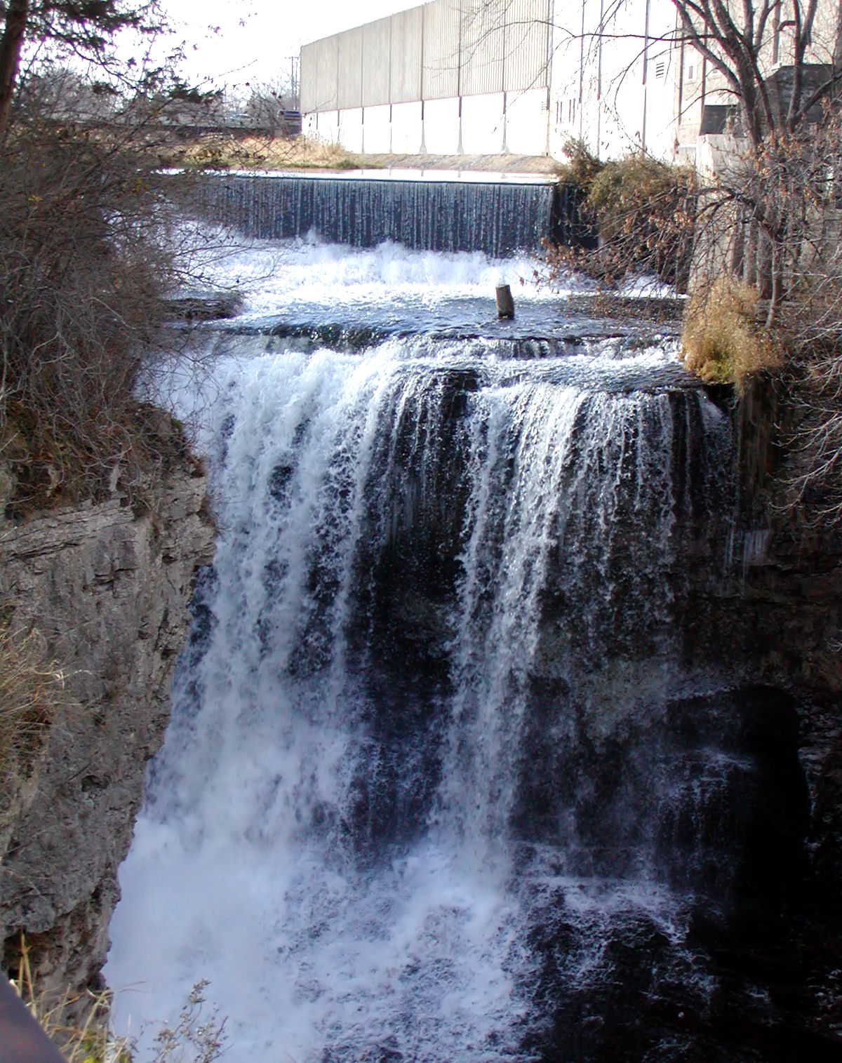 Vermillion RiverCanoeing · ~48 min drivePhoto: Appraiser at English Wikipedia, Public domain (via Wikimedia Commons)
- Maxwell Bay Public Water Access SiteBoat launch · ~9 min drive
 Sunrise RiverCanoeing · ~1h 15m drivePhoto: Tim Kiser, CC BY-SA 4.0 (via Wikimedia Commons)
- North Arm Boat LandingBoat launch · ~10 min drive
 Little Cannon RiverCanoeing · ~1h 20m drivePhoto: G. Moore, CC BY-SA 4.0 (via Wikimedia Commons)
- Russell A. Sorenson LandingBoat launch · ~25 min drive
 Elk RiverCanoeing · ~1h 21m drivePhoto: The original uploader was Malepheasant at English Wikipedia., CC BY-SA 2.5 (via Wikimedia Commons)
- Mississippi River 83rd Ave N Boat RampBoat launch · ~26 min drive
Best time to visit Grays Bay Public Water Access Site
Best months: April and June–October. Best months have typical highs of 55–85 °F, lows of 30 °F or warmer (32 °F where the station doesn't record snow), at most one snowy day and no more than 12 wet days.
Jan
24° / 7°
10 wet
Feb
29° / 11°
8 wet
Mar
42° / 23°
9 wet
Apr
57° / 35°
11 wet
May
69° / 48°
13 wet
Jun
78° / 58°
12 wet
Jul
82° / 63°
11 wet
Aug
80° / 61°
9 wet
Sep
72° / 52°
10 wet
Oct
57° / 39°
10 wet
Nov
41° / 26°
9 wet
Dec
28° / 14°
10 wet
Typical high / low (°F) and days with rain or snow, 1991–2020. Measured at New Hope, MN, 7.1 mi away at 910 ft. This station doesn't record snowfall. Source: NOAA NCEI U.S. Climate Normals 1991–2020.
Map and trail data © OpenStreetMap contributors
