Yukon South
- 47.3 mi
- round trip
- 1,400 ft
- climb
- 1,908 ft
- high point
- Out and back
- route
- May–Sep
- best months
Yukon South is a hard out-and-back hike in northern Minnesota, about 1.7 miles from the town of Alger. The route starts at roughly 1,425 feet and climbs to a high point of 1,908 feet, with a total elevation gain of 1,400 feet over the course of the trip. The steepest stretch comes at about 7.2 miles in, where the grade reaches 5 percent. Summer is the most comfortable time to go. Typical averages from a nearby weather station in Two Harbors show July highs around 77°F with lows near 54°F, while winter highs stay in the 20s. The hike takes about 16.5 hours to complete. Climbers can find Sawmill Creek Dome about 4 miles away and Silver Creek Tunnel Rock about 6.6 miles away. Gooseberry Falls State Park Campground is about 9 miles off, and the Gitchi-Gami State Trail is about 8.9 miles away.
Local outfitters
- Sawtooth Outfitters48 mi away
Not on Roamze yet. Their page has how to reach them.
- Sawmill Creek DomeRock climbing4.1 mi
- Silver Creek Tunnel RockRock climbing6.6 mi
- Superior Hiking Trail - Spur TrailCross-country skiing8.6 mi
 Gitchi-Gami State TrailCross-country skiingPhoto: McGhiever, CC BY-SA 3.0 (via Wikimedia Commons)8.9 mi
 Gooseberry Falls State Park CampgroundCampingPhoto: m01229 — CC BY-SA 2.0 (via Flickr)9 mi
- River View TrailCross-country skiing9.6 mi
Source: Roamze catalog (indexable pages within 10 miles, PostGIS distance)
 Merrill Logging TrailHiking · ~22 min drivePhoto: IAHilltopper, CC BY 2.0 (via Flickr)
- Harris LakeHiking · ~33 min drive
 Superior Hiking Spur TrailHiking · ~22 min drivePhoto: PunkToad, CC BY 2.0 (via Flickr)
- BUNDLE LAKE SPUR AHiking · ~39 min drive
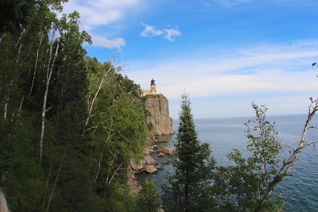 Corundrum Mine TrailHiking · ~22 min drivePhoto: daveynin, CC BY 2.0 (via Flickr)
- StoneHiking · ~45 min drive
- Day Hill TrailHiking · ~23 min drivePhoto: PunkToad, CC BY 2.0 (via Flickr)
- BIRD LAKE SPUR FHiking · ~50 min drive
- Little Two Harbors TrailHiking · ~23 min drivePhoto: PunkToad, CC BY 2.0 (via Flickr)
 Tommila LakeHiking · ~24 min drivePhoto: Tony Webster, CC BY 2.0 (via Flickr)
Best time to visit Yukon South
Best months: May–September. Best months have typical highs of 55–85 °F, lows of 30 °F or warmer (32 °F where the station doesn't record snow), at most one snowy day and no more than 12 wet days.
Jan
20° / 1°
10 wet
Feb
25° / 3°
9 wet
Mar
37° / 15°
9 wet
Apr
50° / 27°
9 wet
May
64° / 38°
12 wet
Jun
72° / 48°
12 wet
Jul
77° / 54°
11 wet
Aug
75° / 53°
10 wet
Sep
66° / 45°
11 wet
Oct
51° / 34°
11 wet
Nov
36° / 21°
10 wet
Dec
24° / 8°
10 wet
Typical high / low (°F) and days with rain or snow, 1991–2020. Measured at Two Harbors 7nw, MN, 3.2 mi away at 1,355 ft. The station sits about 600 ft lower than this place, so expect it a little cooler here. This station doesn't record snowfall. Source: NOAA NCEI U.S. Climate Normals 1991–2020.
