Suomi Hills Trail Ne
- 3.4 mi
- round trip
- 620 ft
- climb
- 1,469 ft
- high point
- Out and back
- route
- May–Sep
- best months
Caution today
Agency alerts are in effect for this area; weather is good · USFS, OpenWeather · checked just now
Is Suomi Hills Trail Ne open right now?
No closures listed
The Forest Service lists no closures for Chippewa National Forest.
As of · Source: USFS · Chippewa National Forest. Agencies don't list every closure — check before you go.
Suomi Hills Trail Ne is a 3.4-mile out-and-back hike in the Deer River Ranger District of Chippewa National Forest in northern Minnesota, managed by the Forest Service. The trail is rated moderate, with a total elevation gain of 121 feet, and the route is natural-surfaced and open to bikes. The trail starts at about 1,448 feet and reaches a high point of 1,469 feet, with the steepest stretch at about 0.12 miles in, where the grade reaches 12%. The climb is short and gentle, so the hike works well as a quick outing. Summer is the most comfortable time to go. Typical averages from a nearby weather station in Marcell show July highs around 77°F with lows near 56°F, while January highs average only 16°F. Several other trails sit close by, including Suomi Hills Trail Nd about 0.1 mile away and Suomi Hills Trail Nc about half a mile off. Suomi South Side Dispersed Sites, about 1.6 miles away, offers camping, and Suomi Trail is roughly 1.6 miles away.
- SUOMI HILLS TRAIL NDHiking0.1 mi
- Suomi Hills Trail NcHiking0.5 mi
- Suomi Hills N TrailHiking0.5 mi
- SUOMI HILLS TRAIL NBHiking0.6 mi
- Suomi Hills Trail NaHiking0.8 mi
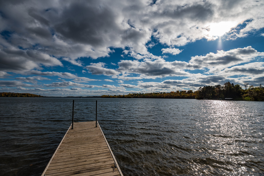
 Suomi TrailHikingPhoto: Lorie Shaull, CC BY 2.0 (via Flickr)1.6 mi
- Suomi South Side Dispersed Sites M6,M7,M11, M15, MCamping1.6 mi
- Suomi Hills Trail SbHiking2.2 mi
Source: Roamze catalog (indexable pages within 10 miles, PostGIS distance)
- Suomi TrailHiking · ~3 min drivePhoto: Lorie Shaull, CC BY 2.0 (via Flickr)
 Mesabi TrailHiking · ~28 min drivePhoto: Tony Webster, CC BY-SA 2.0 (via Flickr)
- Suomi Hills N TrailHiking · Next door
- Suomi Hills Trail NaHiking · ~1 min drive
- Suomi Hills Trail NcHiking · Next door
- Suomi Hills Trail SHiking · ~6 min drive
- SPUR LAKEHiking · ~28 min drive
- SUOMI HILLS TRAIL NBHiking · Next door
- Trout Lake TrailHiking · ~8 min drive
- Suomi Hills Trail SdHiking · ~5 min drive
Best time to visit Suomi Hills Trail Ne
Best months: May–September. Best months have typical highs of 55–85 °F, lows of 30 °F or warmer (32 °F where the station doesn't record snow), at most one snowy day and no more than 12 wet days.
Jan
16° / -5°
10 wet
Feb
22° / -3°
8 wet
Mar
36° / 12°
8 wet
Apr
49° / 27°
9 wet
May
63° / 40°
12 wet
Jun
72° / 52°
12 wet
Jul
77° / 56°
12 wet
Aug
75° / 55°
10 wet
Sep
66° / 47°
11 wet
Oct
51° / 35°
11 wet
Nov
34° / 20°
10 wet
Dec
21° / 5°
10 wet
Typical high / low (°F) and days with rain or snow, 1991–2020. Measured at Marcell 5ne, MN, 11.2 mi away at 1,387 ft. This station doesn't record snowfall. Source: NOAA NCEI U.S. Climate Normals 1991–2020.
