Suomi Hills Trail Sb
- 2.0 mi
- round trip
- 264 ft
- climb
- 1,456 ft
- high point
- Out and back
- route
- May–Sep
- best months
Caution today
Agency alerts are in effect for this area; weather is good · USFS, OpenWeather · checked just now
Is Suomi Hills Trail Sb open right now?
No closures listed
The Forest Service lists no closures for Chippewa National Forest.
As of · Source: USFS · Chippewa National Forest. Agencies don't list every closure — check before you go.
Suomi Hills Trail Sb is an easy out-and-back hike of about 2 miles on natural surface in the Deer River Ranger District of Chippewa National Forest, in northern Minnesota. The route runs from about 1,427 feet to a high point of roughly 1,456 feet, with the steepest stretch coming about a third of the way in at a 4% grade. The trail is open year-round, and bikes are allowed. It sits within the Forest Service's Suomi Hills Trail network, with several other trails and dispersed camping sites close by. Summer is the most comfortable time to go. Typical July highs reach about 77°F with lows near 56°F, based on averages from a nearby weather station in Marcell, which sits at a similar elevation. Winters are cold, with January highs around 16°F and lows near -5°F. The Suomi Trail and the Suomi South Side Dispersed Sites M6, M7, M11, M15, M are both about 0.6 miles away. Suomi Hills Trail Sd is about 0.9 miles off, and Suomi Hills Trail Sf is about 1.3 miles away.
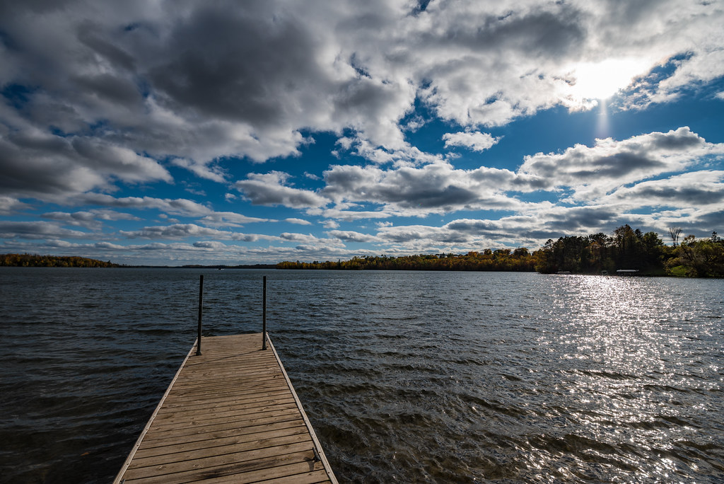
 Suomi TrailHikingPhoto: Lorie Shaull, CC BY 2.0 (via Flickr)0.6 mi
- Suomi South Side Dispersed Sites M6,M7,M11, M15, MCamping0.6 mi
- Suomi Hills Trail SdHiking0.9 mi
- Suomi Hills Trail SfHiking1.3 mi
- SUOMI HILLS TRAIL SAHiking1.4 mi
- Suomi Hills Trail SgHiking1.4 mi
- Suomi Hills Trail SHiking1.4 mi
- Suomi Hills Trail SeHiking1.4 mi
Source: Roamze catalog (indexable pages within 10 miles, PostGIS distance)
- Suomi TrailHiking · Next doorPhoto: Lorie Shaull, CC BY 2.0 (via Flickr)
 Mesabi TrailHiking · ~24 min drivePhoto: Tony Webster, CC BY-SA 2.0 (via Flickr)
- Suomi Hills Trail SHiking · ~2 min drive
- Suomi Hills Trail NaHiking · ~5 min drive
- Suomi Hills Trail SfHiking · ~2 min drive
- Suomi Hills N TrailHiking · ~4 min drive
- SPUR LAKEHiking · ~32 min drive
- SUOMI HILLS TRAIL SAHiking · ~2 min drive
- Trout Lake TrailHiking · ~5 min drive
- Suomi Hills Trail SdHiking · ~1 min drive
Best time to visit Suomi Hills Trail Sb
Best months: May–September. Best months have typical highs of 55–85 °F, lows of 30 °F or warmer (32 °F where the station doesn't record snow), at most one snowy day and no more than 12 wet days.
Jan
16° / -5°
10 wet
Feb
22° / -3°
8 wet
Mar
36° / 12°
8 wet
Apr
49° / 27°
9 wet
May
63° / 40°
12 wet
Jun
72° / 52°
12 wet
Jul
77° / 56°
12 wet
Aug
75° / 55°
10 wet
Sep
66° / 47°
11 wet
Oct
51° / 35°
11 wet
Nov
34° / 20°
10 wet
Dec
21° / 5°
10 wet
Typical high / low (°F) and days with rain or snow, 1991–2020. Measured at Marcell 5ne, MN, 13.1 mi away at 1,387 ft. This station doesn't record snowfall. Source: NOAA NCEI U.S. Climate Normals 1991–2020.
