Pine Loop
- 0.9 mi
- round trip
- 117 ft
- climb
- 928 ft
- high point
- Out and back
- route
- Apr–Oct
- best months
Pine Loop is a short, easy hike in the Vermillion Highlands Research Recreation and State Wildlife Management Area in Minnesota, managed by State Fish and Wildlife. The route is about 1.8 miles long and is an out-and-back, with the high point at 928 feet and the low at 895 feet. The climb is gentle, with a total gain of 117 feet and a steepest grade of about 3% near the 0.8-mile mark. Summer is the most comfortable time to go. Typical averages from a nearby weather station show July highs around 81°F and lows near 61°F, while winter highs stay in the 20s. The Wetland Loop and Lone Rock Loop cross-country ski trails sit just a tenth of a mile and 0.3 miles away. The Farm Loop is about a mile off, and the Vermillion River, a canoeing route, is roughly 6 miles away.
- Wetland LoopCross-country skiing0.1 mi
- Lone Rock LoopCross-country skiing0.3 mi
- Farm LoopCross-country skiing1.1 mi
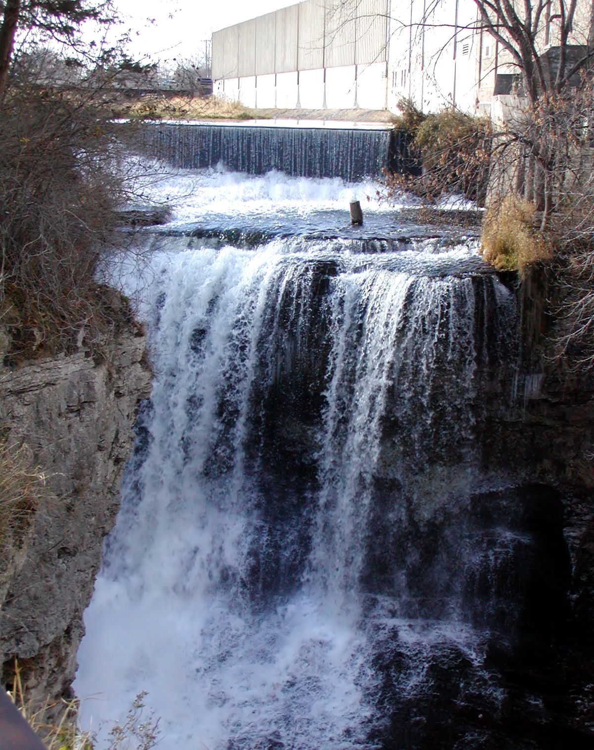 Vermillion RiverCanoeingPhoto: Appraiser at English Wikipedia, Public domain (via Wikimedia Commons)6 mi
 Voyageur TrekHikingPhoto: Joe Passe, CC BY-SA 2.0 (via Flickr)8.3 mi
Source: Roamze catalog (indexable pages within 10 miles, PostGIS distance)
 Lone Rock LoopHiking · ~2 min drivePhoto: Sank63, CC BY 2.0 (via Flickr)
 Farm LoopHiking · ~3 min drivePhoto: Tony Webster, CC BY 2.0 (via Flickr)
- Mississippi River TrailHiking · ~11 min drive
- Voyageur TrekHiking · ~14 min drivePhoto: Joe Passe, CC BY-SA 2.0 (via Flickr)
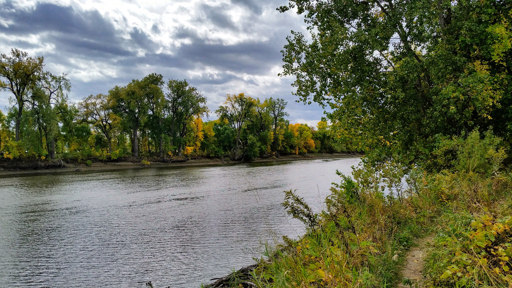 Minnesota Valley State Trail (Long Meadow Lake Unit)Hiking · ~23 min drivePhoto: Joe Passe, CC BY-SA 2.0 (via Flickr)
- Long Meadow Lake TrailHiking · ~23 min drivePhoto: Joe Passe, CC BY-SA 2.0 (via Flickr)
 Hogback Ridge TrailHiking · ~23 min drivePhoto: Joe Passe, CC BY-SA 2.0 (via Flickr)
 River Bottoms TrailHiking · ~25 min drivePhoto: Joe Passe, CC BY-SA 2.0 (via Flickr)
 Minnesota River Greenway TrailHiking · ~24 min drivePhoto: Joe Passe, CC BY-SA 2.0 (via Flickr)
- Wetland LoopHiking · Next door
Best time to visit Pine Loop
Best months: April–October. Best months have typical highs of 55–85 °F, lows of 30 °F or warmer (32 °F where the station doesn't record snow), at most one snowy day and no more than 12 wet days.
Jan
22° / 3°
Feb
27° / 7°
Mar
40° / 20°
Apr
56° / 34°
May
68° / 47°
Jun
77° / 57°
Jul
81° / 61°
Aug
79° / 58°
Sep
72° / 50°
Oct
59° / 37°
Nov
42° / 23°
Dec
28° / 11°
Typical high / low (°F) and days with rain or snow, 1991–2020. Measured at Rosemount Rsch & Outreach Ctr, MN, 2.9 mi away at 945 ft. This station doesn't record snowfall. Source: NOAA NCEI U.S. Climate Normals 1991–2020.
Map and trail data © OpenStreetMap contributors
