Mississippi River Trail
Minnesota
Free — you'll pick up right here.
15.6 mi
Distance
374 ft
Gain
We don't cover this trail yet
No agency boundary, access route or field report is mapped to it — so there is no verdict, and we won't guess. We'll tell you the moment this trail has something to say.
Covered nearby
Trails within 25 miles where we do have a current picture.
Nobody's filed a report here yet — be the first.
Why you'll love it
Here's your day, mapped
Mississippi River Trail
Suggested plan · check conditions before you go
Meals
Gear for the day
Elevation & route
- Distance
- 15.6 mi
- Elevation gain
- 374 ft
Photos
Directions & GPX
Permits & access
- Managing agency
- National Park Service
About this trail
The Mississippi River Trail is a 31.2-mile out-and-back trail in Minnesota managed by the National Park Service. The route gains 374 feet of elevation.
Add to a trip & share
Keep exploring — more trails worth the drive
 Photo: Tony Webster, CC BY 2.0 (via Flickr)
Farm Loop
~13 min drive
Easy 1.63-mile out-and-back farm walk in Minnesota.
 Photo: Sank63, CC BY 2.0 (via Flickr)
Lone Rock Loop
~13 min drive
A 4.69-mile out-and-back Minnesota trail featuring woodland scenery and rock formations.
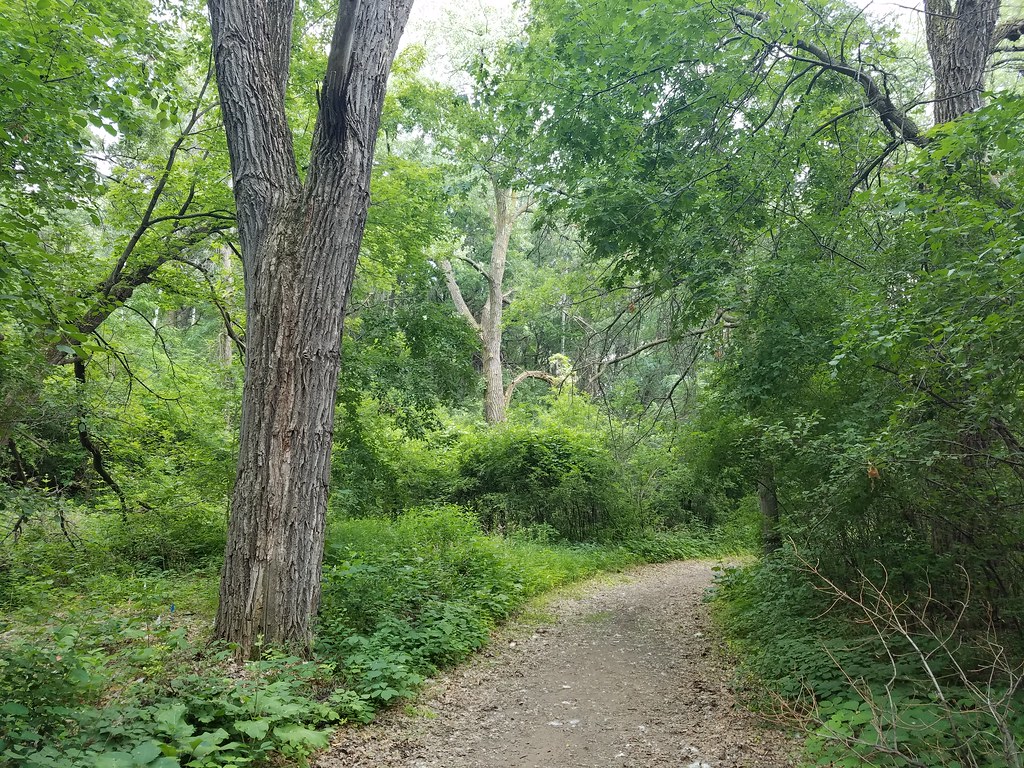 Photo: Joe Passe, CC BY-SA 2.0 (via Flickr)
Big Wheezy
~22 min drive
0.76-mile out-and-back trail in Minnesota with 88 ft of elevation gain.
 Photo: McGhiever, CC BY-SA 3.0 (via Wikimedia Commons)
Interpretive Trail
~19 min drive
Easy interpretive loop with educational signage through Wisconsin nature.
 Photo: Joe Passe, CC BY-SA 2.0 (via Flickr)
Voyageur Trek
~18 min drive
Historic point-to-point trail following a voyageur water route through Minnesota.
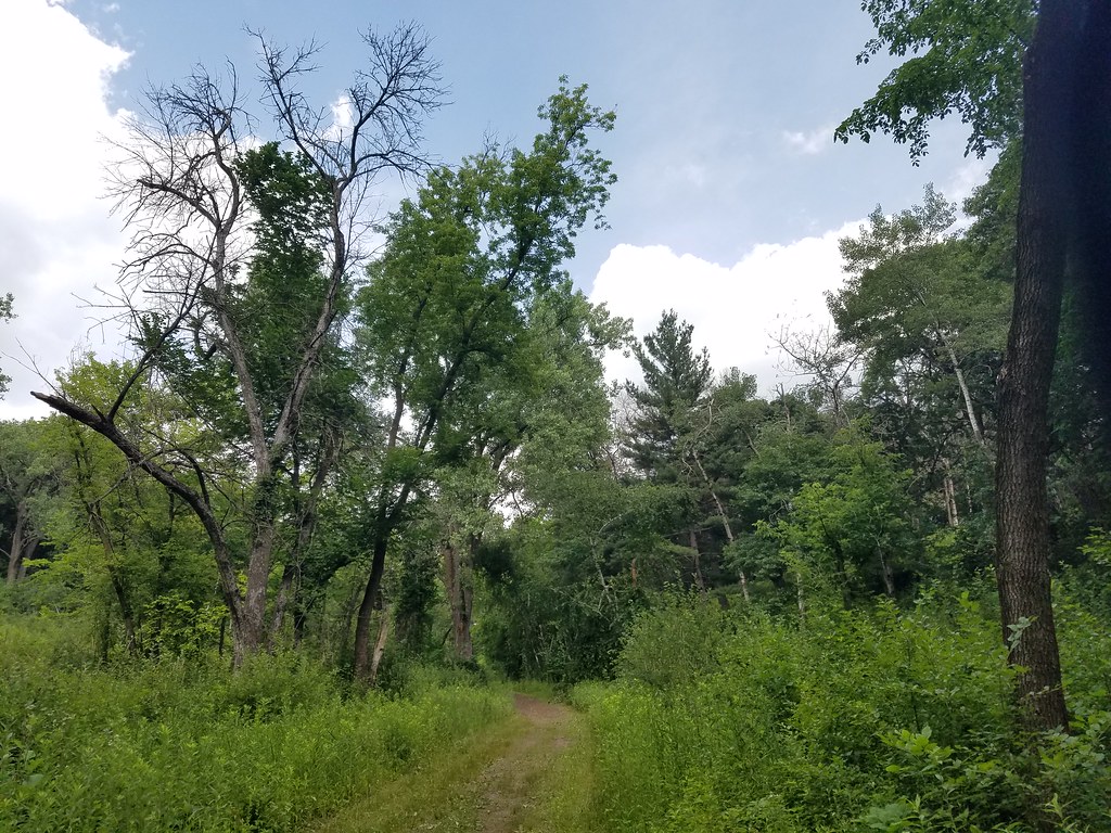 Photo: Joe Passe, CC BY-SA 2.0 (via Flickr)
Freight Train
~23 min drive
0.76-mile out-and-back trail in Minnesota with 52 feet of elevation gain.
 Photo: McGhiever, CC BY-SA 3.0 (via Wikimedia Commons)
Bobolink Loop
~19 min drive
0.84-mile out-and-back trail in Minnesota with 98 ft of elevation gain.
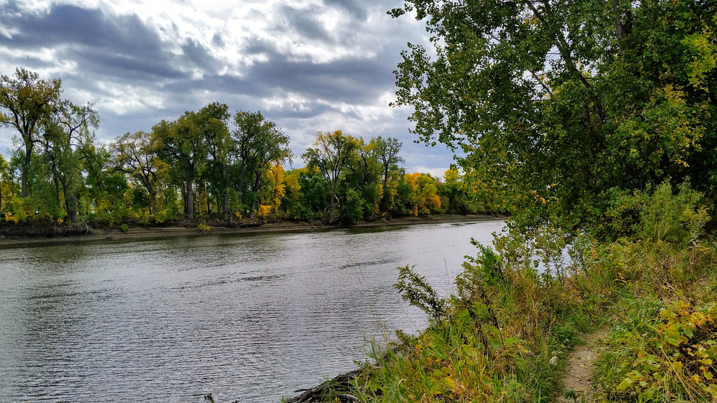 Photo: Joe Passe, CC BY-SA 2.0 (via Flickr)
Long Meadow Lake Trail
~27 min drive
Point-to-point trail to Long Meadow Lake through meadows and forest.
Photo: Joe Passe, CC BY-SA 2.0 (via Flickr)The Hump
~23 min drive
The Hump is a 0.38-mile lollipop trail in Minnesota with 94 feet of elevation gain.
Photo: McGhiever, CC BY-SA 3.0 (via Wikimedia Commons)North River Trail
~20 min drive
1.02-mile out-and-back hike on the North River in Wisconsin.
