Discovery Center Trail
- 0.6 mi
- round trip
- 94 ft
- climb
- 1,504 ft
- high point
- Out and back
- route
- May–Sep
- best months
Discovery Center Trail is a short, easy out-and-back hike on Tamarac National Wildlife Refuge in northern Minnesota, managed by the U.S. Fish and Wildlife Service. The trail is about 1.2 miles long, with a total elevation gain of 94 feet, and it takes roughly half an hour to complete. The route starts and ends at nearly the same elevation, with the high point at 1,504 feet and the low at 1,480 feet. The steepest stretch comes at about 0.45 miles in, with a grade of about 3 percent. The trail is a simple walk rather than a climb, and it pairs easily with other paths in the refuge. Summer is the most comfortable time to go. Typical July averages from a nearby weather station run to a high of 79°F and a low of 59°F, while January highs average just 18°F. The Bear Paw Spur Trail starts just 0.1 mile away, and the Old Indian Trail and the North Country National Scenic Trail are both within about 2 miles. The Tamarac Lake Loop Trail is about 2.4 miles off.
Best time to go · May–Sep
Best time to visit Discovery Center Trail
Best months: May–September. Best months have typical highs of 55–85 °F, lows of 30 °F or warmer (32 °F where the station doesn't record snow), at most one snowy day and no more than 12 wet days.
Jan
18° / -4°
Feb
23° / -1°
Mar
37° / 16°
Apr
52° / 30°
May
66° / 44°
Jun
75° / 55°
Jul
79° / 59°
Aug
78° / 57°
Sep
70° / 48°
Oct
54° / 35°
Nov
39° / 21°
Dec
24° / 6°
Typical high / low (°F) and days with rain or snow, 1991–2020. Measured at Tamarac Wildlife Re, MN, 0.1 mi away at 1,508 ft. This station doesn't record snowfall. Source: NOAA NCEI U.S. Climate Normals 1991–2020.
Keep exploring — more trails worth the drive
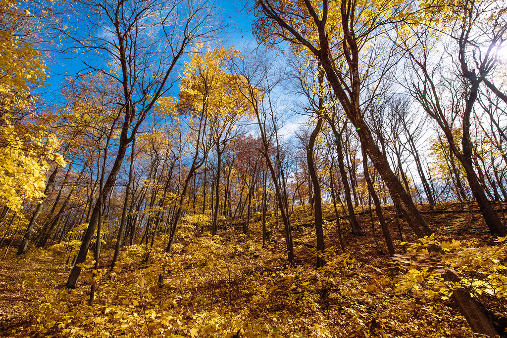 Photo: Tony Webster, CC BY-SA 2.0 (via Flickr)
Heart Of The Lakes Trail
~54 min drive
8.46-mile out-and-back lake country trail in Minnesota.
Photo: Tony Webster, CC BY-SA 2.0 (via Flickr)Woodland Trail
~56 min drive
Easy 0.65-mile out-and-back woodland walk in Minnesota.
HIKE
North Country National Scenic Trail
~3 min drive
11.73-mile out-and-back trail in Minnesota with 1,057 ft elevation gain.
HIKE
Paul Bunyan State Forest
~1h 7m drive
24.50-mile out-and-back trail in Paul Bunyan State Forest, Minnesota
HIKE
Pine Lake Loop Trail
~4 min drive
5.64-mile out-and-back trail in Minnesota with 596 ft elevation gain.
Photo: Tony Webster, CC BY-SA 2.0 (via Flickr)Cataract Lake Trail
~56 min drive
0.33-mile out-and-back trail to Cataract Lake in Minnesota.
HIKE
Agassiz Recreational Trail
~51 min drive
11.87-mile out-and-back trail in Minnesota with 63 ft elevation gain.
HIKE
Becker Co Line To Nct
~14 min drive
9.8-mile out-and-back trail near Becker County line in Minnesota.
 Photo: Tony Webster, CC BY-SA 2.0 (via Flickr)
Hallaway Hill Trail
~56 min drive
0.67-mile out-and-back hike with 167 ft elevation gain in Minnesota.
HIKE
Agassiz Recreational Trail
~1h 10m drive
10.88-mile out-and-back trail in Minnesota with 107 ft elevation gain.
