Heart Of The Lakes Trail
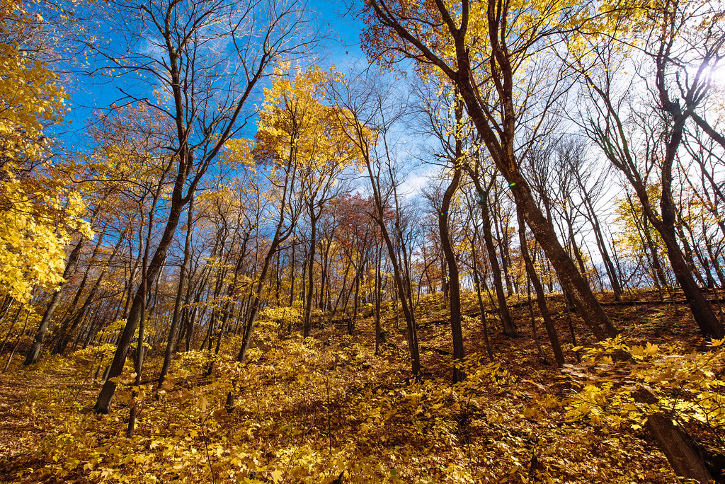 Photo: Tony Webster, CC BY-SA 2.0 (via Flickr)
- 8.5 mi
- round trip
- 1,000 ft
- climb
- 1,486 ft
- high point
- Out and back
- route
- May–Oct
- best months
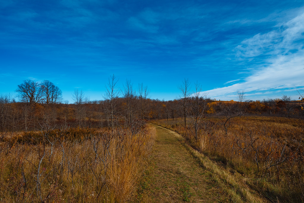
Heart Of The Lakes Trail is an 8.5-mile moderate hike in Maplewood State Park in Minnesota, managed by State Park and Recreation. The trail is an out-and-back route that reaches a high point of 1,486 feet, with the start at 1,431 feet and the low point at 1,354 feet. The climb totals 384 feet of elevation gain, and the steepest stretch comes at about 4.5 miles in, with a 7% grade. The trail is long enough to break into a day of hiking, and it works well for a longer outing in the park. Bikes are allowed, so it can also be ridden. Summer is the most comfortable time to go. Typical averages from a nearby weather station in Rothsay run from highs around 76°F in June to about 80°F in July, with September easing back to around 70°F. Winters are cold, with January highs near 18°F. Several other trails sit close by. Park Drive, a cross-country ski route, is under a mile away, and Cataract Lake Trail, Woodland Trail and Grass Lake Trail are all within about a mile and a quarter.
- Park DriveCross-country skiing0.9 mi
- Cataract Lake TrailHikingPhoto: Tony Webster, CC BY-SA 2.0 (via Flickr)1 mi
- Woodland TrailHikingPhoto: Tony Webster, CC BY-SA 2.0 (via Flickr)1.2 mi
 Grass Lake TrailHikingPhoto: Tony Webster, CC BY 2.0 (via Flickr)1.2 mi
 Ironwood TrailHikingPhoto: Tony Webster, CC BY-SA 2.0 (via Flickr)1.6 mi
 Hallaway Hill TrailHikingPhoto: Tony Webster, CC BY-SA 2.0 (via Flickr)1.8 mi
 Old Hallaway TrailHikingPhoto: Tony Webster, CC BY 2.0 (via Flickr)1.8 mi
- Red River To LlcHiking4.6 mi
Source: Roamze catalog (indexable pages within 10 miles, PostGIS distance)
- Cataract Lake TrailHiking · ~2 min drivePhoto: Tony Webster, CC BY-SA 2.0 (via Flickr)
- Becker Co Line To NctHiking · ~43 min drive
- North Country National Scenic TrailHiking · ~55 min drive
- Woodland TrailHiking · ~2 min drivePhoto: Tony Webster, CC BY-SA 2.0 (via Flickr)
- Pine Lake Loop TrailHiking · ~50 min drive
- Red River Valley Provisional RouteHiking · ~1h 1m drive
- Grass Lake TrailHiking · ~2 min drivePhoto: Tony Webster, CC BY 2.0 (via Flickr)
- Agassiz Recreational TrailHiking · ~1h 8m drive
- Ironwood TrailHiking · ~3 min drivePhoto: Tony Webster, CC BY-SA 2.0 (via Flickr)
- Hallaway Hill TrailHiking · ~3 min drivePhoto: Tony Webster, CC BY-SA 2.0 (via Flickr)
Best time to visit Heart Of The Lakes Trail
Best months: May–October. Best months have typical highs of 55–85 °F, lows of 30 °F or warmer (32 °F where the station doesn't record snow), at most one snowy day and no more than 12 wet days.
Jan
18° / -1°
6 wet
Feb
23° / 3°
6 wet
Mar
36° / 17°
6 wet
Apr
53° / 31°
7 wet
May
67° / 45°
10 wet
Jun
76° / 56°
11 wet
Jul
80° / 60°
10 wet
Aug
78° / 58°
9 wet
Sep
70° / 49°
9 wet
Oct
55° / 35°
8 wet
Nov
38° / 21°
5 wet
Dec
24° / 7°
6 wet
Typical high / low (°F) and days with rain or snow, 1991–2020. Measured at Rothsay, MN, 16.7 mi away at 1,204 ft. This station doesn't record snowfall. Source: NOAA NCEI U.S. Climate Normals 1991–2020.
