Black Dog Trail
- 1.9 mi
- round trip
- 160 ft
- climb
- 743 ft
- high point
- Out and back
- route
- Apr–Oct
- best months
Black Dog Trail is a short, easy out-and-back hike of about 3.8 miles, with a total climb of roughly 160 feet, on city land within Cliff Fen in Minnesota. The route starts and ends close to 740 feet, and the highest point is about 743 feet. The trail is an easy walk, and the climb is gentle. The steepest stretch is near the start, about 0.44 miles in, with a grade of around 2%. Bikes are allowed. Summer is the most comfortable time to go. Typical averages from a nearby weather station show July highs around 83°F and lows near 65°F, while winter highs stay in the 20s. The trail is close to several other routes. Cliff Fen Trail is just 0.1 mile away, and Minnesota River Greenway Trail is about a mile off. Minnesota River Bridge Trail and Bluff Trail are both within about a mile and a half.
- Cliff Fen TrailHiking0.1 mi
 Minnesota River Greenway TrailHikingPhoto: Joe Passe, CC BY-SA 2.0 (via Flickr)1.1 mi
- Minnesota River Bridge TrailHiking1.3 mi
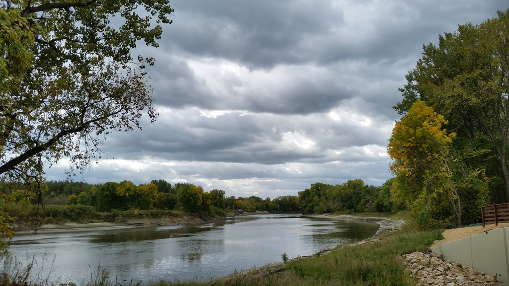 Bluff TrailHikingPhoto: Joe Passe, CC BY-SA 2.0 (via Flickr)1.4 mi
 River Bottoms TrailHikingPhoto: Joe Passe, CC BY-SA 2.0 (via Flickr)1.4 mi
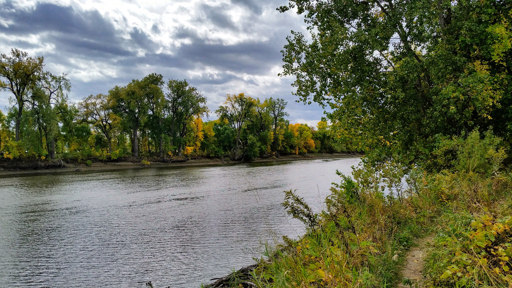 Long Meadow Lake TrailHikingPhoto: Joe Passe, CC BY-SA 2.0 (via Flickr)1.9 mi
 Hogback Ridge TrailHikingPhoto: Joe Passe, CC BY-SA 2.0 (via Flickr)3.4 mi
 Buck HillDownhill skiingPhoto: Baseball Bugs, CC BY-SA 4.0 (via Wikimedia Commons)4.6 mi
Source: Roamze catalog (indexable pages within 10 miles, PostGIS distance)
- Minnesota River Greenway TrailHiking · ~2 min drivePhoto: Joe Passe, CC BY-SA 2.0 (via Flickr)
- River Bottoms TrailHiking · ~2 min drivePhoto: Joe Passe, CC BY-SA 2.0 (via Flickr)
- Bluff TrailHiking · ~2 min drivePhoto: Joe Passe, CC BY-SA 2.0 (via Flickr)
- Long Meadow Lake TrailHiking · ~3 min drivePhoto: Joe Passe, CC BY-SA 2.0 (via Flickr)
- Minnesota Valley State Trail (Long Meadow Lake Unit)Hiking · ~3 min drivePhoto: Joe Passe, CC BY-SA 2.0 (via Flickr)
 Voyageur TrekHiking · ~9 min drivePhoto: Joe Passe, CC BY-SA 2.0 (via Flickr)
- Hogback Ridge TrailHiking · ~6 min drivePhoto: Joe Passe, CC BY-SA 2.0 (via Flickr)
 West River Parkway TrailHiking · ~17 min drivePhoto: bjwhite66212, CC BY-SA 2.0 (via Flickr)
 Bloomington Ferry TrailHiking · ~10 min drivePhoto: Joe Passe, CC BY-SA 2.0 (via Flickr)
 Lone Rock LoopHiking · ~21 min drivePhoto: Sank63, CC BY 2.0 (via Flickr)
Best time to visit Black Dog Trail
Best months: April–October. Best months have typical highs of 55–85 °F, lows of 30 °F or warmer (32 °F where the station doesn't record snow), at most one snowy day and no more than 12 wet days.
Jan
24° / 9°
10 wet
Feb
29° / 13°
8 wet
Mar
42° / 25°
9 wet
Apr
57° / 38°
11 wet
May
69° / 50°
12 wet
Jun
79° / 60°
12 wet
Jul
83° / 65°
10 wet
Aug
81° / 63°
10 wet
Sep
73° / 54°
9 wet
Oct
58° / 41°
9 wet
Nov
42° / 28°
9 wet
Dec
29° / 15°
9 wet
Typical high / low (°F) and days with rain or snow, 1991–2020. Measured at Minneapolis/St Paul Ap, MN, 7.1 mi away at 872 ft. This station doesn't record snowfall. Source: NOAA NCEI U.S. Climate Normals 1991–2020.
