Wadams to Avoca Trail
- 12.4 mi
- one way
- 182 ft
- climb
- 764 ft
- high point
- Point to point
- route
- May–Oct
- best months
Clear at last check
Weather is good · OpenWeather · checked 12 h ago
The Wadams to Avoca Trail is a 12.4-mile point-to-point route in Michigan, starting at Wadams and ending in Avoca, which sits right at the trail's endpoint. The climb is modest, with a total elevation gain of 182 feet, and the trail's highest point is 764 feet. The route is rated hard, and the steepest stretch comes at about 2.3 miles in, where the grade reaches 4%. Summer is the most comfortable time to go. Typical averages from a nearby weather station show July highs around 82°F with lows near 56°F, while winter highs stay in the 20s and 30s. Bikes are allowed on this trail. The Pine River, about 6.5 miles away, offers canoeing, and Mill Creek is a similar paddling option at 6.8 miles. The Mountain Bike Trail lies about 6.9 miles off.
Source: Roamze catalog (indexable pages within 10 miles, PostGIS distance)
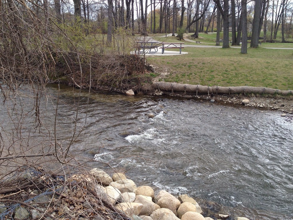 Dinosaur Hill Nature Preserve TrailsHiking · ~59 min drivePhoto: ffg, CC BY 2.0 (via Flickr)
- London Line Multi-Use PathHiking · ~32 min drive
- Polly Ann TrailHiking · ~35 min drive
- OrangeHiking · ~55 min drive
 Hiking TrailHiking · ~1h 20m drivePhoto: KRoark, CC BY-SA 2.0 (via Flickr)
- Howard Watson TrailHiking · ~45 min drive
- Bald Mountain-South Unit TrailsHiking · ~1h 1m drive
- Hiking TrailHiking · ~1h 21m drivePhoto: KRoark, CC BY-SA 2.0 (via Flickr)
- Hiking TrailHiking · ~1h 21m drivePhoto: KRoark, CC BY-SA 2.0 (via Flickr)
- Mountain Bike TrailHiking · ~12 min drive
Best time to visit Wadams to Avoca Trail
Best months: May–October. Best months have typical highs of 55–85 °F, lows of 30 °F or warmer (32 °F where the station doesn't record snow), at most one snowy day and no more than 12 wet days.
Jan
29° / 13°
11 wet
Feb
32° / 12°
9 wet
Mar
41° / 21°
10 wet
Apr
55° / 31°
11 wet
May
66° / 42°
11 wet
Jun
78° / 52°
10 wet
Jul
82° / 56°
9 wet
Aug
80° / 54°
9 wet
Sep
73° / 47°
9 wet
Oct
60° / 37°
10 wet
Nov
46° / 28°
10 wet
Dec
35° / 20°
11 wet
Typical high / low (°F) and days with rain or snow, 1991–2020. Measured at Yale 1 Nnw, MI, 8 mi away at 820 ft. This station doesn't record snowfall. Source: NOAA NCEI U.S. Climate Normals 1991–2020.
Map and trail data © OpenStreetMap contributors
