Pine River
- 28.3 mi
- distance
- 769 ft
- high point
- Apr, Jun–Oct
- best months
Pine River is a 28-mile paddling stretch near Wales, Michigan, about a mile from the town of Thornton. The river flows year-round, with typical averages from a nearby weather station showing an average flow of about 71 cubic feet per second and a gradient of about 5.1 feet per mile. Summer is the most comfortable time to paddle. July brings typical highs around 83°F and lows near 62°F, while September cools to typical highs in the low 70s. The Island Loop Route National Water Trail lies about 10 miles away. For time off the water, the Mountain Bike Trail is about 3.6 miles off, and the Wadams to Avoca Trail is about 6.5 miles away.
Local outfitters
- CLINTON RIVER CANOE & KAYAK33 mi away
Not on Roamze yet. Their page has how to reach them.
- Mountain Bike TrailHiking3.6 mi
- Wadams to Avoca TrailHiking6.5 mi
- The Island Loop Route National Water TrailCanoeing9.9 mi
Source: Roamze catalog (indexable pages within 10 miles, PostGIS distance)
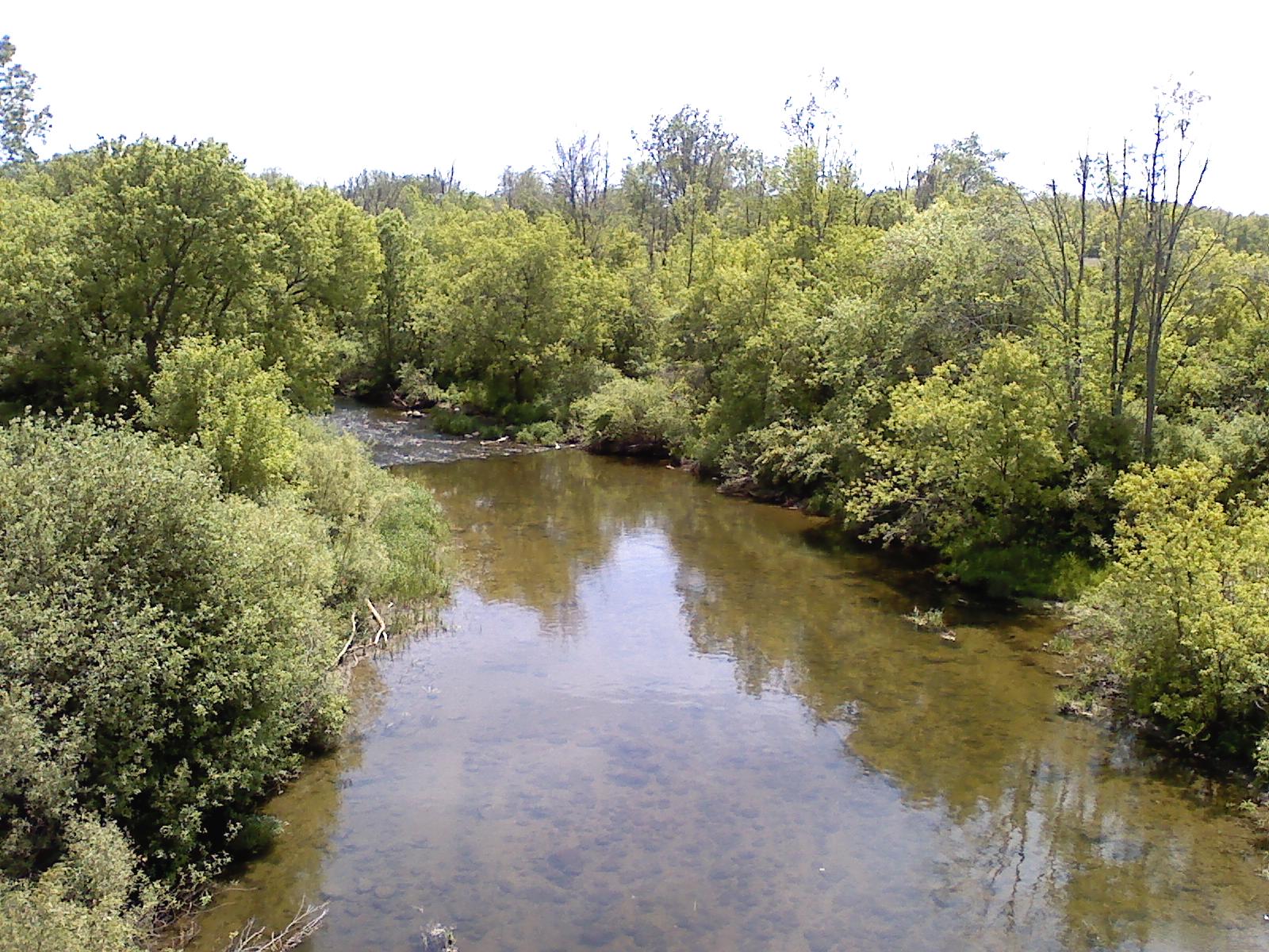 Clinton RiverCanoeing · ~1h 10m drivePhoto: Local hero, Public domain (via Wikimedia Commons)
- Public Boat RampBoat launch · ~22 min drive
- The Island Loop Route National Water TrailCanoeing · ~17 min drive
- Public Boat RampBoat launch · ~26 min drive
- Mill CreekCanoeing · ~22 min drive
- Public Boat RampBoat launch · ~32 min drive
- Belle RiverCanoeing · ~25 min drive
- Fair Haven Boat LaunchBoat launch · ~36 min drive
- North Branch Clinton RiverCanoeing · ~35 min drive
- Public Boat LaunchBoat launch · ~38 min drive
Best time to visit Pine River
Best months: April and June–October. Best months have typical highs of 55–85 °F, lows of 30 °F or warmer (32 °F where the station doesn't record snow), at most one snowy day and no more than 12 wet days.
Jan
30° / 16°
13 wet
Feb
33° / 16°
10 wet
Mar
42° / 25°
11 wet
Apr
56° / 36°
12 wet
May
68° / 47°
13 wet
Jun
78° / 58°
11 wet
Jul
83° / 62°
10 wet
Aug
80° / 59°
9 wet
Sep
73° / 52°
10 wet
Oct
60° / 41°
12 wet
Nov
46° / 32°
11 wet
Dec
35° / 23°
13 wet
Typical high / low (°F) and days with rain or snow, 1991–2020. Measured at Richmond 4 Nnw, MI, 10.8 mi away at 765 ft. This station doesn't record snowfall. Source: NOAA NCEI U.S. Climate Normals 1991–2020.
