Hiking Trail
 Photo: KRoark, CC BY-SA 2.0 (via Flickr)
- 0.5 mi
- round trip
- 120 ft
- climb
- 1,054 ft
- high point
- Out and back
- route
- Jun–Sep
- best months
This short, easy hike sits within Pontiac Lake State Recreation Area in Michigan, managed by the State Department of Natural Resources. The trail is an out-and-back of about 0.9 miles, with a total elevation gain of 120 feet from the low point at 1,005 feet to the high at 1,054 feet. The climb is gentle, with the steepest stretch at about 0.19 miles in, rising roughly 5 percent. Summer is the most comfortable time to go. Typical averages from a nearby weather station show July highs around 80°F with lows near 57°F, while winter brings highs in the 20s and regular snow days from December through February. The trip takes about half an hour, so it works well as a quick stop. Turkeyfoot Trail and the Huron River are both about 2 miles away, and the Clinton River Water Trail is about 5 miles off.
Best time to go · Jun–Sep
Best time to visit Hiking Trail
Best months: June–September. Best months have typical highs of 55–85 °F, lows of 30 °F or warmer (32 °F where the station doesn't record snow), at most one snowy day and no more than 12 wet days.
Jan
29° / 13°
15 wet · 13 snow
Feb
32° / 14°
13 wet · 12 snow
Mar
42° / 23°
13 wet · 7 snow
Apr
55° / 33°
13 wet · 3 snow
May
67° / 44°
14 wet
Jun
76° / 53°
12 wet
Jul
80° / 57°
11 wet
Aug
78° / 55°
10 wet
Sep
71° / 49°
11 wet
Oct
58° / 39°
13 wet
Nov
45° / 29°
13 wet · 5 snow
Dec
33° / 20°
15 wet · 11 snow
Typical high / low (°F) and days with rain or snow, 1991–2020. Measured at White Lake 4e, MI, 1.4 mi away at 1,053 ft. Source: NOAA NCEI U.S. Climate Normals 1991–2020.
Keep exploring — more trails worth the drive
Photo: KRoark, CC BY-SA 2.0 (via Flickr)Hiking Trail
Next door
0.58-mile out-and-back trail in Michigan with 16 ft elevation gain.
 Photo: taboo8614, CC BY-SA 3.0 (via Wikimedia Commons)
Multi-Use (Hike)
~31 min drive
A 3.27-mile point-to-point Michigan hiking trail.
HIKE
Chief Pontiac Trail Conventional Hike
~18 min drive
18.36-mile point-to-point Michigan trail for experienced day hikers.
Photo: KRoark, CC BY-SA 2.0 (via Flickr)Hiking Trail
Next door
0.57-mile out-and-back trail in Michigan with 132 ft elevation gain.
Photo: taboo8614, CC BY-SA 3.0 (via Wikimedia Commons)Hiking
~31 min drive
A 4.89-mile point-to-point Michigan trail for moderate day hikers.
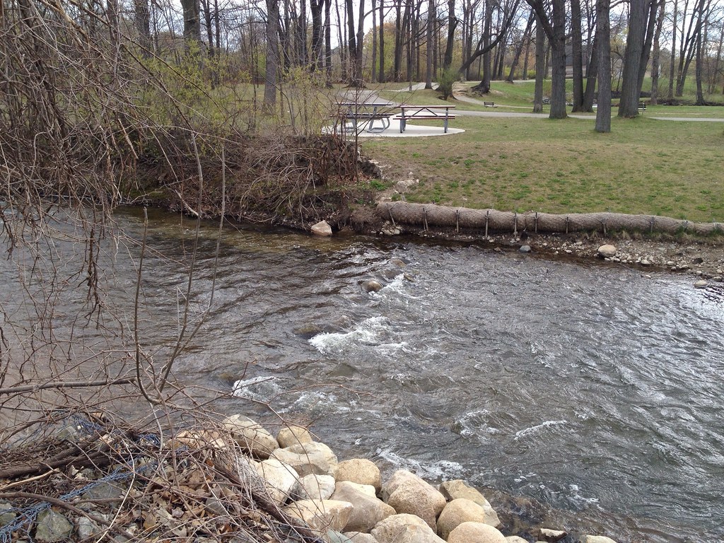 Photo: ffg, CC BY 2.0 (via Flickr)
Dinosaur Hill Nature Preserve Trails
~28 min drive
Easy out-and-back nature walk through Dinosaur Hill Nature Preserve.
HIKE
Bald Mountain-South Unit Trails
~21 min drive
6.62-mile point-to-point trail through Bald Mountain's south unit.
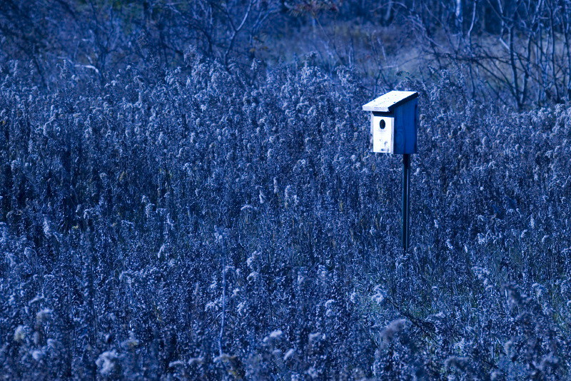 Photo: Andrew Turner, CC BY 2.0 (via Flickr)
Itc Corridor Regional Trail
~30 min drive
Nearly 5-mile point-to-point regional trail through Michigan.
HIKE
Orange
~26 min drive
Easy 3.52-mile out-and-back trail in Orange, Michigan.
Photo: Andrew Turner, CC BY 2.0 (via Flickr)Linking Trail
~30 min drive
1.24-mile point-to-point trail in Michigan with 203 ft gain and 265 ft loss.

Map and trail data © OpenStreetMap contributors
