Upper 18 Mile Lake Loop Bdn-Gi
- 5.1 mi
- round trip
- 426 ft
- climb
- 865 ft
- high point
- Out and back
- route
- Jul–Sep
- best months
Is Upper 18 Mile Lake Loop Bdn-Gi open right now?
Closure in the area
There's a closure order in Hiawatha National Forest. It doesn't name Upper 18 Mile Lake Loop Bdn-Gi, so check the source for the area it covers (2 listed).
Brevoort Lake Autumn Drawdown
Agency closure covering Hiawatha National Forest · USFS · Hiawatha National Forest
Haymeadow Trail and Bridge Closed
Agency closure covering Hiawatha National Forest · USFS · Hiawatha National Forest
Restricting Public Entry to Stonington Quarry
Agency alert covering Hiawatha National Forest · USFS · Hiawatha National Forest
As of · Source: USFS · Hiawatha National Forest. Agencies don't list every closure — check before you go.
Upper 18 Mile Lake Loop Bdn-Gi is a 5.1-mile hike on natural surface in the Rapid River Ranger District of Hiawatha National Forest in Michigan. It is a moderate out-and-back route with a total elevation gain of 121 feet, and the trail is managed by the Forest Service. The route starts at about 828 feet and reaches a high point of 865 feet, with the steepest stretch of about 10% at 1.5 miles. Summer is the most comfortable time to go. Typical averages from a nearby weather station at Chatham show July and August highs around 75°F with lows near 52°F, while winter highs stay in the 20s. The trail is open year-round, and it allows horses and bikes. Two other routes sit about half a mile away: Rock Lake National Rec Rock Lk - Wisconsin and Ed's Lake Ski Trail Main Loop - Michigan. Paddlers can reach the Whitefish River Canoe West Br about 4.5 miles off, and Haymeadow Falls is roughly 9 miles away.
- Rock Lake National Rec Rock Lk - WisconsinHiking0.6 mi
- Ed's Lake Ski Trail Main Loop - MichiganHiking0.6 mi
- Whitefish River Canoe West BrHiking4.5 mi
- Whitefish River Canoe East BrHiking6.1 mi
- Whitefish River Canoe Main BrHiking6.7 mi
- Sturgeon River Canoe RouteHiking6.9 mi
- Haymeadow FallsHiking8.9 mi
- HAYMEADOW FALLS SPURHiking8.9 mi
Source: Roamze catalog (indexable pages within 10 miles, PostGIS distance)
 Pine Marten RunHiking · ~21 min drivePhoto: usfs_Eastern_Region, Public Domain Mark (via Flickr)
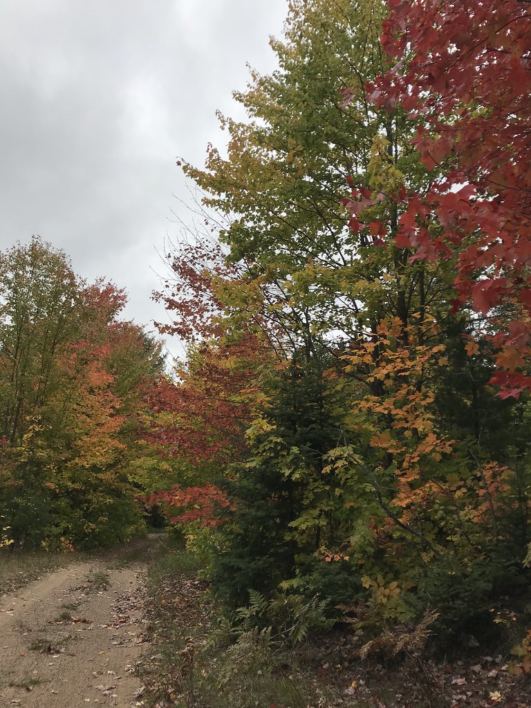 Coalwood Grade ATVHiking · ~24 min drivePhoto: usfs_Eastern_Region, Public Domain Mark (via Flickr)
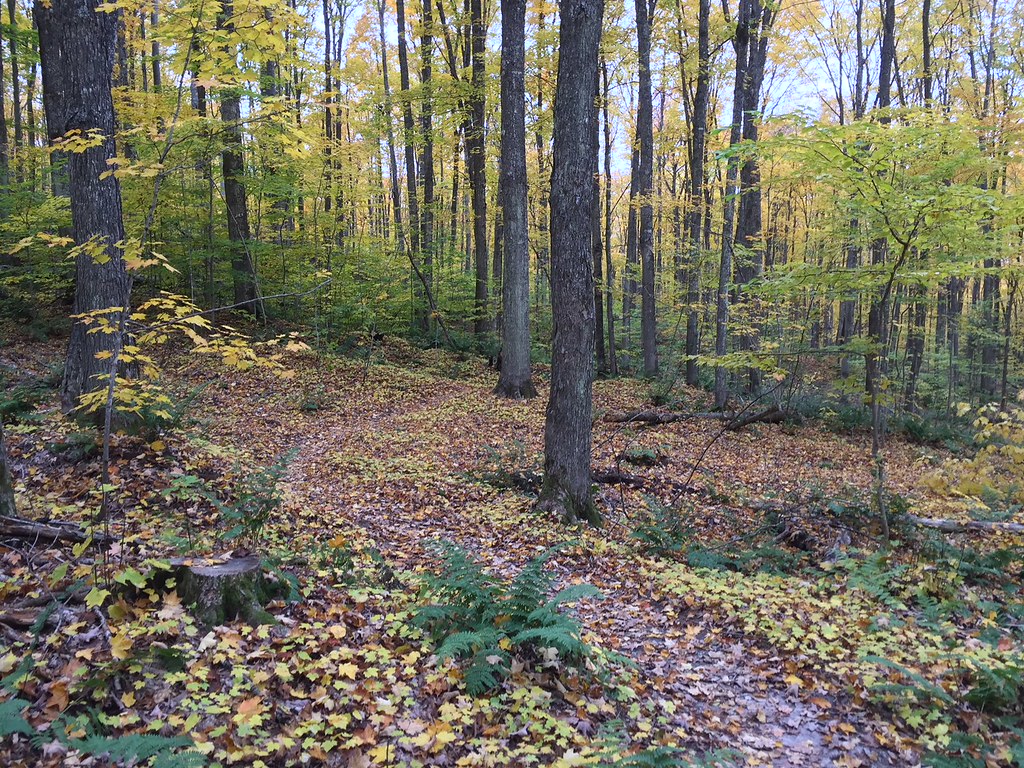 VALLEY SPUR SKI LOOP WHiking · ~26 min drivePhoto: usfs_Eastern_Region, Public Domain Mark (via Flickr)
- North Country Trail_Iron Belle TrailHiking · ~35 min drive
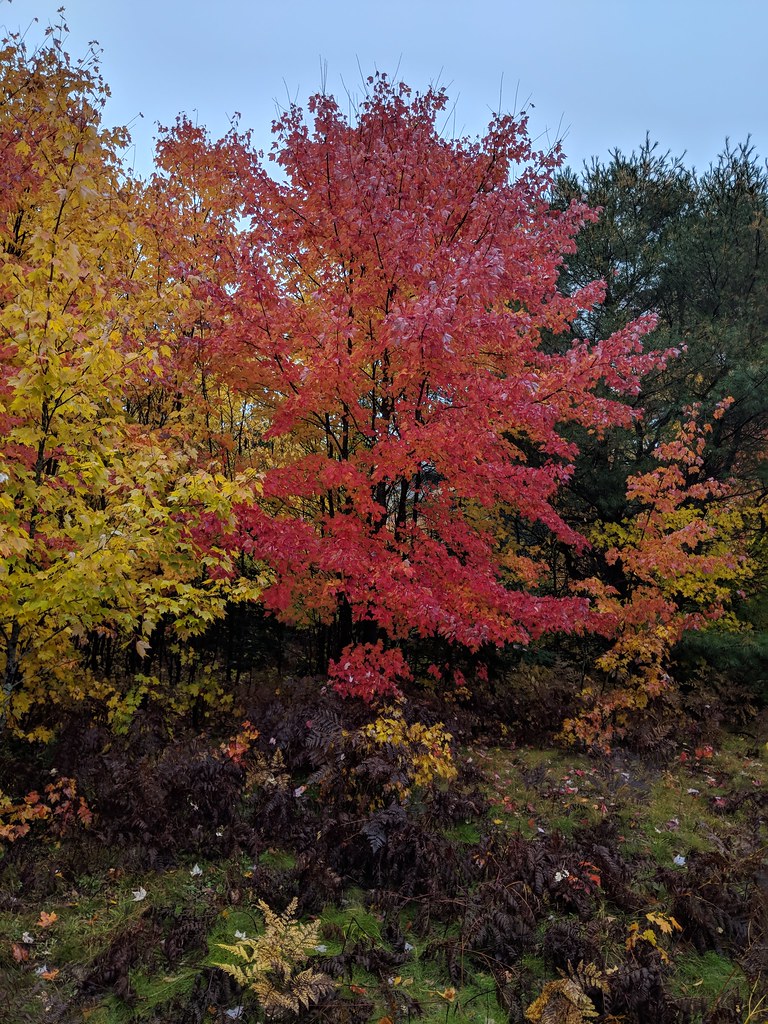 Valley Spur-Hemlock ValleyHiking · ~28 min drivePhoto: usfs_Eastern_Region, Public Domain Mark (via Flickr)
- VALLEY SPUR SKI LOOP YHiking · ~27 min drivePhoto: usfs_Eastern_Region, Public Domain Mark (via Flickr)
- VALLEY SPUR SKI LOOP G1Hiking · ~27 min drivePhoto: usfs_Eastern_Region, Public Domain Mark (via Flickr)
 Lyme TimberHiking · ~32 min drivePhoto: LadyDragonflyCC - >;<, CC BY 2.0 (via Flickr)
 Autrain Songbird InterpHiking · ~29 min drivePhoto: Joe Passe, CC BY-SA 2.0 (via Flickr)
 Valley Spur-Cedar StreakHiking · ~27 min drivePhoto: usfs_Eastern_Region, Public Domain Mark (via Flickr)
Best time to visit Upper 18 Mile Lake Loop Bdn-Gi
Best months: July–September. Best months have typical highs of 55–85 °F, lows of 30 °F or warmer (32 °F where the station doesn't record snow), at most one snowy day and no more than 12 wet days.
Jan
24° / 9°
19 wet
Feb
26° / 7°
17 wet
Mar
35° / 16°
14 wet
Apr
47° / 27°
12 wet
May
61° / 38°
13 wet
Jun
71° / 48°
13 wet
Jul
75° / 52°
12 wet
Aug
75° / 52°
10 wet
Sep
67° / 46°
12 wet
Oct
53° / 35°
16 wet
Nov
40° / 25°
16 wet
Dec
29° / 16°
19 wet
Typical high / low (°F) and days with rain or snow, 1991–2020. Measured at Chatham 1 Se, MI, 13.3 mi away at 875 ft. This station doesn't record snowfall. Source: NOAA NCEI U.S. Climate Normals 1991–2020.
