Lyme Timber
 Photo: LadyDragonflyCC - >;<, CC BY 2.0 (via Flickr)
- 17.7 mi
- round trip
- 1,609 ft
- climb
- 1,878 ft
- high point
- Out and back
- route
- May–Aug
- best months
Lyme Timber is a hard hike in Michigan's upper peninsula, about 1.4 miles from the town of Wetmore. The route is an out-and-back that gains about 1,609 feet from its low point of 678 feet to a high of 1,878 feet, and the round trip stretches roughly 35.4 miles. The climb is long and steep, so plan on a full day on foot. Summer is the most comfortable time to go. Typical averages from the nearby Munising weather station put July highs around 73°F with lows near 55°F, and temperatures on this route run cooler than that because the station sits well below the high point. Winters are severe, with January highs around 23°F. The Munising Ranger District, about 1.5 miles away, offers lake fishing. The Vs to Wetmore, Pine Line hike is 1.8 miles off, and Bay Furnace Campground is about 4.6 miles away. In Wisconsin, Channel Marker Campsite is 4.9 miles away.
- Munising Ranger DistrictLake fishing1.5 mi
- Vs to Wetmore, Pine LineHiking1.8 mi
- Valley Spur (H)Cross-country skiing2.1 mi
- Valley Spur (G)Cross-country skiing2.4 mi
- Valley Spur (Z)Cross-country skiing2.4 mi
 Bay Furnace CampgroundCampingPhoto: Recreation.gov (RIDB) / public domain4.6 mi
- Channel Marker CampsiteCamping4.9 mi
- Muskrat Point CampsiteCamping5.1 mi
Source: Roamze catalog (indexable pages within 10 miles, PostGIS distance)
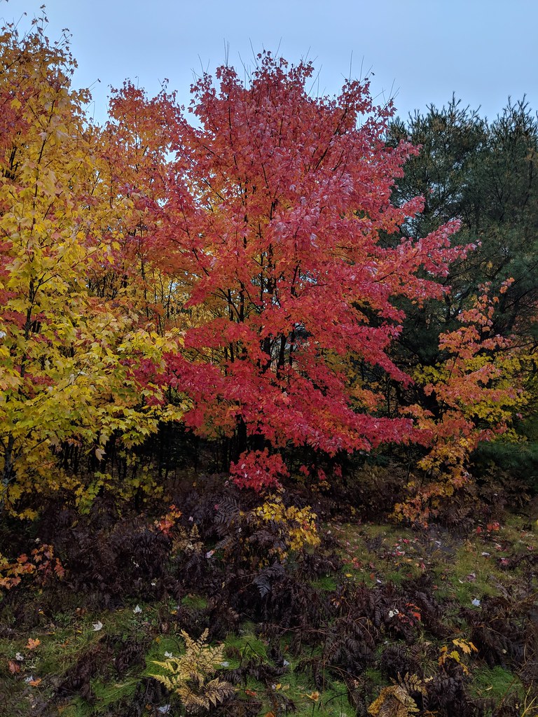 Valley Spur-Hemlock ValleyHiking · ~5 min drivePhoto: usfs_Eastern_Region, Public Domain Mark (via Flickr)
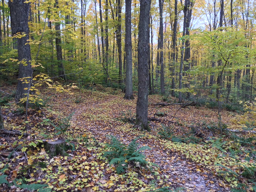 VALLEY SPUR SKI LOOP G1Hiking · ~6 min drivePhoto: usfs_Eastern_Region, Public Domain Mark (via Flickr)
- VALLEY SPUR SKI LOOP YHiking · ~6 min drivePhoto: usfs_Eastern_Region, Public Domain Mark (via Flickr)
 Brunos RunHiking · ~18 min drivePhoto: usfs_Eastern_Region, Public Domain Mark (via Flickr)
 Valley Spur-Cedar StreakHiking · ~6 min drivePhoto: usfs_Eastern_Region, Public Domain Mark (via Flickr)
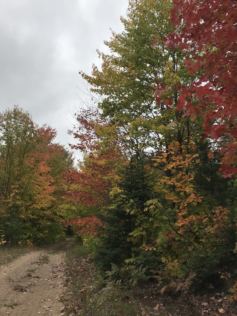 Coalwood Grade ATVHiking · ~9 min drivePhoto: usfs_Eastern_Region, Public Domain Mark (via Flickr)
 Pine Marten RunHiking · ~25 min drivePhoto: usfs_Eastern_Region, Public Domain Mark (via Flickr)
- VALLEY SPUR SKI LOOP WHiking · ~7 min drivePhoto: usfs_Eastern_Region, Public Domain Mark (via Flickr)
 Autrain Songbird InterpHiking · ~15 min drivePhoto: Joe Passe, CC BY-SA 2.0 (via Flickr)
- Valley Spur Bike - Just BeechyHiking · ~7 min drive
Best time to visit Lyme Timber
Best months: May–August. Best months have typical highs of 55–85 °F, lows of 30 °F or warmer (32 °F where the station doesn't record snow), at most one snowy day and no more than 12 wet days.
Jan
23° / 11°
21 wet
Feb
25° / 11°
17 wet
Mar
33° / 19°
13 wet
Apr
45° / 28°
11 wet
May
59° / 39°
12 wet
Jun
68° / 49°
12 wet
Jul
73° / 55°
12 wet
Aug
72° / 55°
11 wet
Sep
65° / 49°
14 wet
Oct
52° / 38°
17 wet
Nov
39° / 27°
17 wet
Dec
29° / 18°
19 wet
Typical high / low (°F) and days with rain or snow, 1991–2020. Measured at Munising, MI, 1.9 mi away at 680 ft. The station sits about 1,200 ft lower than this place, so expect it a little cooler here. This station doesn't record snowfall. Source: NOAA NCEI U.S. Climate Normals 1991–2020.

