Autrain Songbird Interp
 Photo: Joe Passe, CC BY-SA 2.0 (via Flickr)
- 4.1 mi
- loop
- 87 ft
- climb
- 714 ft
- high point
- Loop
- route
- Aug
- best months
Is Autrain Songbird Interp open right now?
Closure in the area
There's a closure order in Hiawatha National Forest. It doesn't name Autrain Songbird Interp, so check the source for the area it covers (2 listed).
Brevoort Lake Autumn Drawdown
Agency closure covering Hiawatha National Forest · USFS · Hiawatha National Forest
Haymeadow Trail and Bridge Closed
Agency closure covering Hiawatha National Forest · USFS · Hiawatha National Forest
Restricting Public Entry to Stonington Quarry
Agency alert covering Hiawatha National Forest · USFS · Hiawatha National Forest
As of · Source: USFS · Hiawatha National Forest. Agencies don't list every closure — check before you go.
Autrain Songbird Interp is a 4.1-mile loop hike in the Munising Ranger District of Hiawatha National Forest in Michigan, managed by the Forest Service. The trail is rated moderate, with a total elevation gain of 87 feet, and it starts at about 657 feet, rising to a high of 714 feet. The steepest stretch comes at about 0.58 miles in, with a 7% grade. Summer is the most comfortable time to go. Typical averages from a nearby weather station show July highs around 78°F and lows near 54°F, while winter highs stay in the 20s. The trail is on natural surface and bikes are allowed. It is not an accessible route. The Autrain River Canoe Route lies just 0.2 miles away, and Au Train Lake Campground is 0.3 miles off. Farther out, the Bay De Noc – Grand Island National Recreation Trail is about 2 miles away, and the North Country National Scenic Trail is roughly 2.9 miles away.
- Autrain River Canoe RouteHikingPhoto: Joe Passe, CC BY-SA 2.0 (via Flickr)0.2 mi
 Au Train Lake CampgroundCampingPhoto: Recreation.gov (RIDB) / public domain0.3 mi
- Bay De Noc – Grand Island National Recreation TrailHiking2 mi
- North Country National Scenic TrailHiking2.9 mi
- Rock RiverCanoeing5.2 mi
 Bay Furnace CampgroundCampingPhoto: Recreation.gov (RIDB) / public domain6.7 mi
- Channel Marker CampsiteCamping8.4 mi
- Munising Ranger DistrictLake fishing8.9 mi
Source: Roamze catalog (indexable pages within 10 miles, PostGIS distance)
- Autrain River Canoe RouteHiking · Next doorPhoto: Joe Passe, CC BY-SA 2.0 (via Flickr)
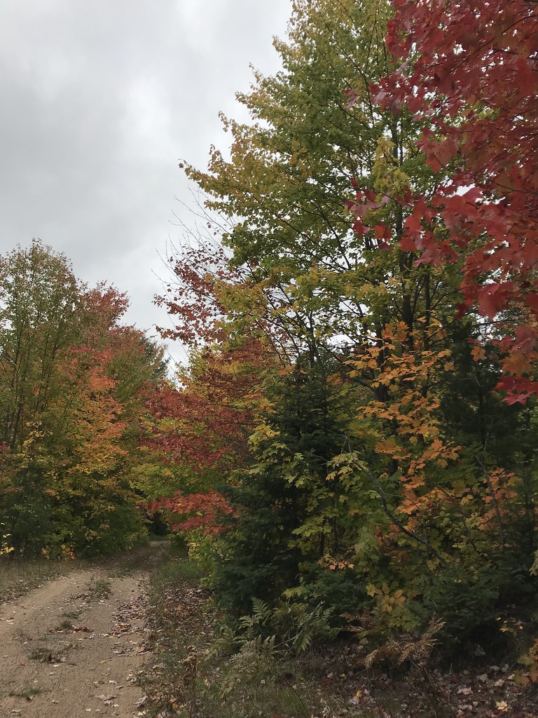 Coalwood Grade ATVHiking · ~10 min drivePhoto: usfs_Eastern_Region, Public Domain Mark (via Flickr)
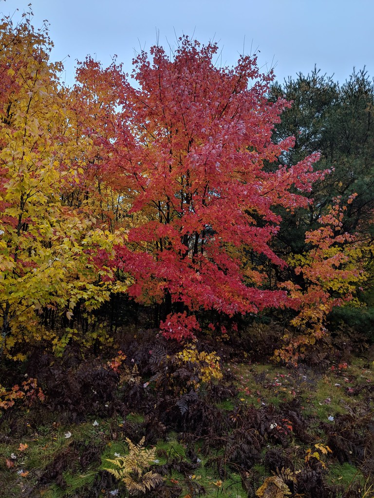 Valley Spur-Hemlock ValleyHiking · ~12 min drivePhoto: usfs_Eastern_Region, Public Domain Mark (via Flickr)
- North Country Trail_Iron Belle TrailHiking · ~18 min drive
 Valley Spur-Cedar StreakHiking · ~11 min drivePhoto: usfs_Eastern_Region, Public Domain Mark (via Flickr)
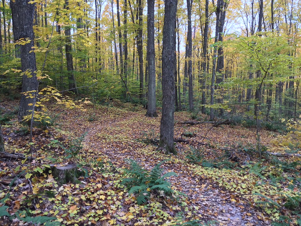 VALLEY SPUR SKI LOOP YHiking · ~11 min drivePhoto: usfs_Eastern_Region, Public Domain Mark (via Flickr)
 Lyme TimberHiking · ~15 min drivePhoto: LadyDragonflyCC - >;<, CC BY 2.0 (via Flickr)
- VALLEY SPUR SKI LOOP WHiking · ~11 min drivePhoto: usfs_Eastern_Region, Public Domain Mark (via Flickr)
 Grand Island Thumb Hiking TrlHiking · ~20 min drivePhoto: Joe Passe, CC BY-SA 2.0 (via Flickr)
 Brunos RunHiking · ~26 min drivePhoto: usfs_Eastern_Region, Public Domain Mark (via Flickr)
Best time to visit Autrain Songbird Interp
Best months: August. Best months have typical highs of 55–85 °F, lows of 30 °F or warmer (32 °F where the station doesn't record snow), at most one snowy day and no more than 12 wet days.
Jan
24° / 8°
19 wet
Feb
27° / 7°
15 wet
Mar
37° / 15°
12 wet
Apr
48° / 27°
11 wet
May
63° / 39°
13 wet
Jun
73° / 48°
13 wet
Jul
78° / 54°
13 wet
Aug
77° / 53°
12 wet
Sep
69° / 46°
15 wet
Oct
55° / 35°
17 wet
Nov
40° / 25°
16 wet
Dec
30° / 14°
17 wet
Typical high / low (°F) and days with rain or snow, 1991–2020. Measured at Chatham Exp Farm 2, MI, 5.6 mi away at 870 ft. This station doesn't record snowfall. Source: NOAA NCEI U.S. Climate Normals 1991–2020.

