Salt River Loop
- 0.7 mi
- one way
- 23 ft
- climb
- 649 ft
- high point
- Point to point
- route
- May–Oct
- best months
Salt River Loop is a short, easy hike of about 0.74 miles in Michigan's Pine Haven Recreational Area, on land managed by the county. The route rises from about 614 feet to about 649 feet, with a total gain of 23 feet and a steepest stretch of about 5% at the 0.35-mile mark. The trail is point-to-point, and the climb is so gentle that it passes easily within half an hour. Summer is the most comfortable time to go. A nearby weather station records typical July highs around 81°F with lows near 57°F, while September cools to typical highs around 71°F. The loop sits close to several other short routes. Evacuation Trail is about 0.1 mile away, Elliott's Loop about 0.5 mile, and Loggers Flats about 0.6 mile. Grassmere Shoreline is about a mile off.
- Evacuation TrailHiking0.1 mi
- Elliott's LoopHiking0.5 mi
- Loggers FlatsHiking0.6 mi
- Skating TrailHiking0.9 mi
- Oxbow FlatHiking0.9 mi
- Grassmere ShorelineHiking1.1 mi
- Salt RiverCanoeing6.1 mi
- Tobacco RiverCanoeing8.3 mi
Source: Roamze catalog (indexable pages within 10 miles, PostGIS distance)
 River Point TrailHiking · ~16 min drivePhoto: Christian Collins, CC BY-SA 2.0 (via Flickr)
- Blue TrailHiking · ~43 min drive
 Sugar Bush TrailHiking · ~16 min drivePhoto: Christian Collins, CC BY-SA 2.0 (via Flickr)
 River TrailHiking · ~16 min drivePhoto: Christian Collins, CC BY-SA 2.0 (via Flickr)
- Field TrailHiking · ~16 min drivePhoto: Christian Collins, CC BY-SA 2.0 (via Flickr)
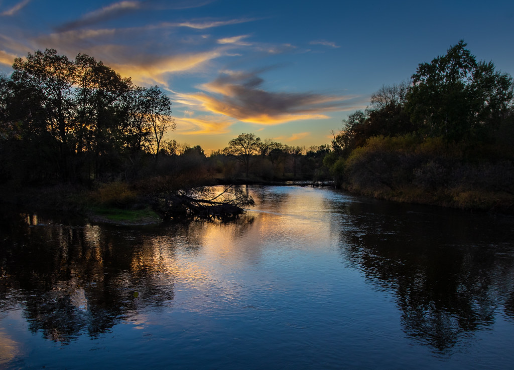 Meadow Mouse TrailHiking · ~16 min drivePhoto: Christian Collins, CC BY-SA 2.0 (via Flickr)
- Arbury TrailHiking · ~16 min drivePhoto: Christian Collins, CC BY-SA 2.0 (via Flickr)
- Arboretum TrailHiking · ~17 min drivePhoto: Christian Collins, CC BY-SA 2.0 (via Flickr)
- Wood Duck TrailHiking · ~17 min drivePhoto: Christian Collins, CC BY-SA 2.0 (via Flickr)
- Wetlands TrailHiking · ~17 min drivePhoto: Christian Collins, CC BY-SA 2.0 (via Flickr)
Best time to visit Salt River Loop
Best months: May–October. Best months have typical highs of 55–85 °F, lows of 30 °F or warmer (32 °F where the station doesn't record snow), at most one snowy day and no more than 12 wet days.
Jan
29° / 12°
Feb
31° / 13°
Mar
42° / 20°
Apr
55° / 31°
May
68° / 43°
Jun
77° / 52°
Jul
81° / 57°
Aug
79° / 55°
Sep
71° / 46°
Oct
59° / 37°
Nov
46° / 28°
Dec
34° / 20°
Typical high / low (°F) and days with rain or snow, 1991–2020. Measured at Oil City 2s, MI, 11.5 mi away at 680 ft. This station doesn't record snowfall. Source: NOAA NCEI U.S. Climate Normals 1991–2020.
Map and trail data © OpenStreetMap contributors
