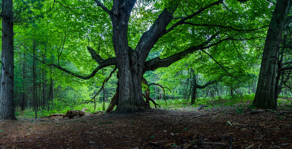
Salt River
- 11.3 mi
- distance
- 666 ft
- high point
- May–Oct
- best months
Salt River is an 11-mile paddling stretch near Coleman, Michigan, about 3 miles from North Bradley. It flows year-round, and USGS models an average flow of about 114 cubic feet per second with a gradient of about 3.5 feet per mile. Summer is the most comfortable time to paddle. Typical averages from a nearby weather station show July highs around 81°F with lows near 57°F, while winter highs stay in the 20s. Several hiking trails sit within about 6 miles, including Grassmere Shoreline, Oxbow Flat, Loggers Flats and the Salt River Loop.
- Grassmere ShorelineHiking5 mi
- Oxbow FlatHiking5.2 mi
- Skating TrailHiking5.3 mi
- Loggers FlatsHiking5.6 mi
- Elliott's LoopHiking5.6 mi
- Salt River LoopHiking6.1 mi
- Evacuation TrailHiking6.2 mi
Source: Roamze catalog (indexable pages within 10 miles, PostGIS distance)
- Tobacco RiverCanoeing · ~20 min drive
- Wixom Lake West Boat LaunchBoat launch · ~21 min drive
- South Branch Tobacco RiverCanoeing · ~22 min drive
- Ross Lake Boat LaunchBoat launch · ~23 min drive
- Chippewa RiverCanoeing · ~23 min drive
- Ross Lake Boat LaunchBoat launch · ~23 min drive
- Swan CreekCanoeing · ~42 min drive
- Stevenson Lake Boat LaunchBoat launch · ~25 min drive
- Pine River Canoe TrailCanoeing · ~43 min drive
- CanoeBoat launch · ~32 min drive
Best time to visit Salt River
Best months: May–October. Best months have typical highs of 55–85 °F, lows of 30 °F or warmer (32 °F where the station doesn't record snow), at most one snowy day and no more than 12 wet days.
Jan
29° / 12°
Feb
31° / 13°
Mar
42° / 20°
Apr
55° / 31°
May
68° / 43°
Jun
77° / 52°
Jul
81° / 57°
Aug
79° / 55°
Sep
71° / 46°
Oct
59° / 37°
Nov
46° / 28°
Dec
34° / 20°
Typical high / low (°F) and days with rain or snow, 1991–2020. Measured at Oil City 2s, MI, 8 mi away at 680 ft. This station doesn't record snowfall. Source: NOAA NCEI U.S. Climate Normals 1991–2020.