Lake Plain Prairie Trail
- 3.9 mi
- one way
- 10 ft
- climb
- 595 ft
- high point
- Point to point
- route
- Apr–Oct
- best months
Lake Plain Prairie Trail is an easy, point-to-point hike in southern Michigan, about 1.6 miles from the community of Roberts Landing. The route is 3.9 miles long, with a total elevation gain of 10 feet, so it's a mostly flat outing across the low-lying terrain of the area. The trail is best suited for a leisurely walk, and early summer is the most comfortable time to go. Typical averages from a nearby weather station show May highs around 70°F and September highs around 76°F, while winter highs stay near freezing. The route reaches a high point of 595 feet and a low of 577 feet, with the steepest stretch at about 1.4 miles in, where the grade reaches 9 percent. That's the only significant climb on the trail.
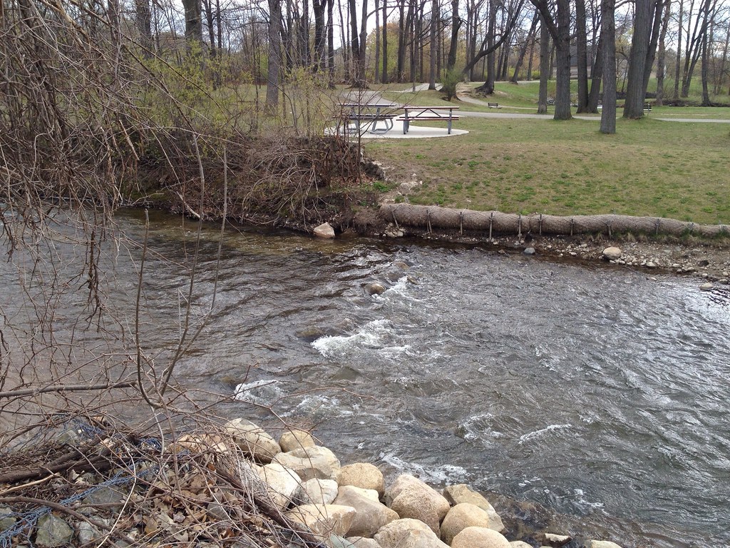 Dinosaur Hill Nature Preserve TrailsHiking · ~52 min drivePhoto: ffg, CC BY 2.0 (via Flickr)
- Greenfield Global TrailHiking · ~42 min drive
- Wadams to Avoca TrailHiking · ~49 min drive
- OrangeHiking · ~59 min drive
- Coyle DrainHiking · ~17 min drive
- London Line Multi-Use PathHiking · ~42 min drive
- Polly Ann TrailHiking · ~1h 3m drive
- Bald Mountain-South Unit TrailsHiking · ~1h 1m drive
- Waterfront TrailHiking · ~41 min drive
- Howard Watson TrailHiking · ~55 min drive
Best time to visit Lake Plain Prairie Trail
Best months: April–October. Best months have typical highs of 55–85 °F, lows of 30 °F or warmer (32 °F where the station doesn't record snow), at most one snowy day and no more than 12 wet days.
Jan
33° / 16°
Feb
35° / 16°
Mar
44° / 24°
Apr
58° / 34°
May
70° / 45°
Jun
80° / 54°
Jul
85° / 60°
Aug
83° / 58°
Sep
76° / 51°
Oct
63° / 41°
Nov
49° / 31°
Dec
38° / 23°
Typical high / low (°F) and days with rain or snow, 1991–2020. Measured at Algonac Wwtp, MI, 3 mi away at 580 ft. This station doesn't record snowfall. Source: NOAA NCEI U.S. Climate Normals 1991–2020.
Map and trail data © OpenStreetMap contributors
