Waterfront Trail
- 0.4 mi
- round trip
- 11 ft
- climb
- 585 ft
- high point
- Out and back
- route
- Jun–Oct
- best months
The Waterfront Trail is a short, easy walk in Michigan, about 1.6 miles from Port Huron. The route is an out-and-back that covers roughly 0.8 miles, with a total climb of about 11 feet and a total descent of about 11 feet. The trail is nearly flat, with the high point at about 585 feet and the low point at about 583 feet. Summer is the most comfortable time to go. Typical averages from a nearby weather station in Port Huron show July highs around 81°F and lows near 65°F, while September cools to highs around 73°F. The Island Loop Route National Water Trail, a canoeing route, lies about 1.3 miles away. A Mountain Bike Trail is about 8 miles off.
Source: Roamze catalog (indexable pages within 10 miles, PostGIS distance)
 Parkhill Rail TrailHiking · ~1h 6m drivePhoto: JFVoll, CC BY-SA 4.0 (via Wikimedia Commons)
- London Line Multi-Use PathHiking · ~6 min drive
- Wadams to Avoca TrailHiking · ~25 min drive
- OrangeHiking · ~1h 12m drive
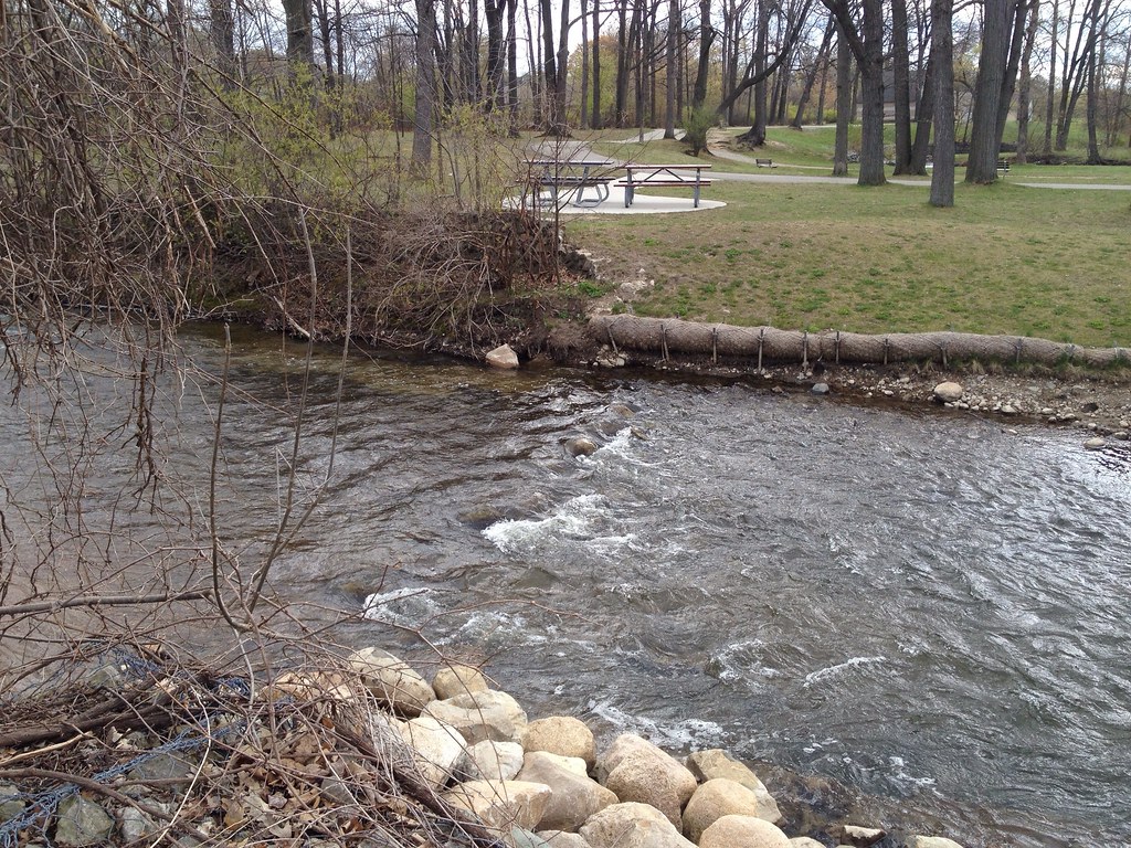 Dinosaur Hill Nature Preserve TrailsHiking · ~1h 13m drivePhoto: ffg, CC BY 2.0 (via Flickr)
- Howard Watson TrailHiking · ~21 min drive
- Polly Ann TrailHiking · ~58 min drive
- Bald Mountain-South Unit TrailsHiking · ~1h 17m drive
- Mountain Bike TrailHiking · ~14 min drive
- Greenfield Global TrailHiking · ~1h 13m drive
Best time to visit Waterfront Trail
Best months: June–October. Best months have typical highs of 55–85 °F, lows of 30 °F or warmer (32 °F where the station doesn't record snow), at most one snowy day and no more than 12 wet days.
Jan
31° / 20°
13 wet
Feb
33° / 21°
11 wet
Mar
42° / 28°
11 wet
Apr
54° / 38°
12 wet
May
67° / 49°
13 wet
Jun
76° / 59°
11 wet
Jul
81° / 65°
10 wet
Aug
80° / 64°
10 wet
Sep
73° / 57°
10 wet
Oct
61° / 46°
12 wet
Nov
47° / 35°
12 wet
Dec
36° / 26°
13 wet
Typical high / low (°F) and days with rain or snow, 1991–2020. Measured at Port Huron, MI, 1.3 mi away at 590 ft. This station doesn't record snowfall. Source: NOAA NCEI U.S. Climate Normals 1991–2020.
Map and trail data © OpenStreetMap contributors
