Iron Belle Trail
- 11.0 mi
- one way
- 78 ft
- climb
- 607 ft
- high point
- Point to point
- route
- Apr, Jun–Oct
- best months
The Iron Belle Trail is an easy, 11-mile point-to-point hike in Michigan, with a total elevation gain of about 78 feet. It runs from the Macarthur Bridge area, and the route stays low, with a low point of about 574 feet and a high of about 607 feet. Bikes are allowed on the trail, so it works for hikers and riders alike. Late spring and early fall are the most comfortable times to go. Typical averages from a nearby weather station in Detroit show May highs around 69°F and September highs around 74°F, with July the warmest month at about 83°F. The closest trails are the Nashua Trail, about 1.3 miles away, and the Trout Lily Trail, about 1.5 miles away. Farther out, the Tallgrass Prairie Heritage Park Loop and the Black Oak Heritage Park Authorized Trail are both about 6.7 miles away.
- Nashua TrailHiking1.3 mi
- Trout Lily TrailHiking1.5 mi
- Bethlehem AvenueMountain biking6.1 mi
- Black Oak Heritage Park Authorized TrailHiking6.7 mi
- Tallgrass Prairie Heritage Park LoopHiking6.7 mi
- Pond LoopHiking6.8 mi
- Savannah LoopHiking6.9 mi
- Wildlife LoopHiking6.9 mi
Source: Roamze catalog (indexable pages within 10 miles, PostGIS distance)
 HikingHiking · ~41 min drivePhoto: taboo8614, CC BY-SA 3.0 (via Wikimedia Commons)
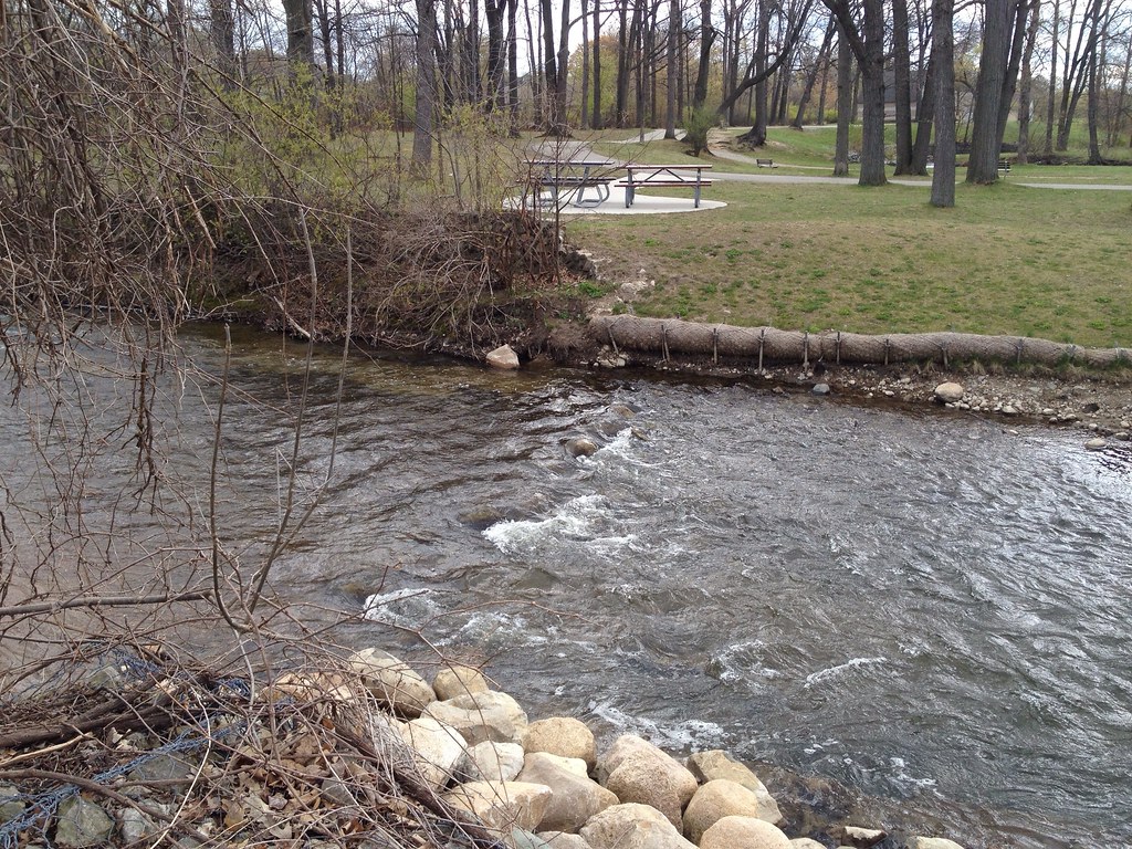 Dinosaur Hill Nature Preserve TrailsHiking · ~43 min drivePhoto: ffg, CC BY 2.0 (via Flickr)
- Multi-Use (Hike)Hiking · ~42 min drivePhoto: taboo8614, CC BY-SA 3.0 (via Wikimedia Commons)
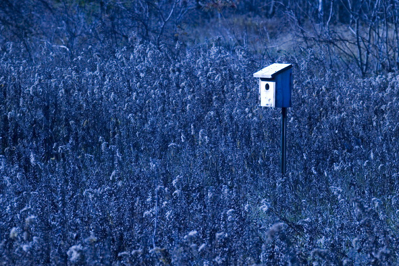 Linking TrailHiking · ~48 min drivePhoto: Andrew Turner, CC BY 2.0 (via Flickr)
- Downriver Linked GreenwayHiking · ~26 min drive
- West LoopHiking · ~48 min drivePhoto: Andrew Turner, CC BY 2.0 (via Flickr)
- Bald Mountain-South Unit TrailsHiking · ~51 min drive
- Itc Corridor Regional TrailHiking · ~49 min drivePhoto: Andrew Turner, CC BY 2.0 (via Flickr)
- OrangeHiking · ~55 min drive
 Town Rail-To-TrailHiking · ~49 min drivePhoto: Andrea_44 from Leamington, Ontario , Canada, CC BY 2.0 (via Wikimedia Commons)
Best time to visit Iron Belle Trail
Best months: April and June–October. Best months have typical highs of 55–85 °F, lows of 30 °F or warmer (32 °F where the station doesn't record snow), at most one snowy day and no more than 12 wet days.
Jan
32° / 20°
10 wet
Feb
35° / 21°
9 wet
Mar
45° / 28°
10 wet
Apr
58° / 39°
12 wet
May
69° / 50°
13 wet
Jun
79° / 60°
10 wet
Jul
83° / 65°
10 wet
Aug
81° / 64°
10 wet
Sep
74° / 56°
9 wet
Oct
61° / 45°
10 wet
Nov
48° / 34°
10 wet
Dec
37° / 26°
11 wet
Typical high / low (°F) and days with rain or snow, 1991–2020. Measured at Detroit City Ap, MI, 4.4 mi away at 626 ft. This station doesn't record snowfall. Source: NOAA NCEI U.S. Climate Normals 1991–2020.
Map and trail data © OpenStreetMap contributors
