Downriver Linked Greenway
- 3.5 mi
- round trip
- 93 ft
- climb
- 601 ft
- high point
- Out and back
- route
- Jun–Oct
- best months
The Downriver Linked Greenway is a 7.1-mile out-and-back hike in Michigan, about 0.4 miles from the town of Sibley. The route is rated moderate, with a total elevation gain of 93 feet and a total loss of 93 feet over the round trip. The climb is gentle, with the steepest stretch at about 1.2 miles in, where the grade reaches 2 percent. The most comfortable months for a visit are typically late spring and early fall. Typical averages from a nearby weather station in Detroit show May highs around 70°F and September highs around 74°F, while July averages about 84°F and January highs sit near 32°F. The hike takes about 2.5 hours to complete. Several other trails lie within about 8 miles, including the Pin Oak Trail, Savannah Loop, Wildlife Loop and Tallgrass Prairie Heritage Park Loop.
- Pin Oak TrailHiking7.9 mi
- Savannah LoopHiking8 mi
- Wildlife LoopHiking8 mi
- Pond LoopHiking8.1 mi
- Tallgrass Prairie Heritage Park LoopHiking8.2 mi
- Black Oak Heritage Park Authorized TrailHiking8.2 mi
- Bethlehem AvenueMountain biking8.9 mi
Source: Roamze catalog (indexable pages within 10 miles, PostGIS distance)
 River Raisin National Battlefield ParkHiking · ~36 min drivePhoto: Ken Lund, CC BY-SA 2.0 (via Flickr)
 HikingHiking · ~39 min drivePhoto: taboo8614, CC BY-SA 3.0 (via Wikimedia Commons)
- Chief Pontiac Trail Conventional HikeHiking · ~59 min drive
 Conservancy Farm PathHiking · ~40 min drivePhoto: varnent, CC BY-SA 2.0 (via Flickr)
- Multi-Use (Hike)Hiking · ~39 min drivePhoto: taboo8614, CC BY-SA 3.0 (via Wikimedia Commons)
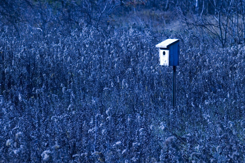 West LoopHiking · ~45 min drivePhoto: Andrew Turner, CC BY 2.0 (via Flickr)
- Bald Mountain-South Unit TrailsHiking · ~1h 7m drive
- Linking TrailHiking · ~45 min drivePhoto: Andrew Turner, CC BY 2.0 (via Flickr)
- Itc Corridor Regional TrailHiking · ~46 min drivePhoto: Andrew Turner, CC BY 2.0 (via Flickr)
 Town Rail-To-TrailHiking · ~52 min drivePhoto: Andrea_44 from Leamington, Ontario , Canada, CC BY 2.0 (via Wikimedia Commons)
Best time to visit Downriver Linked Greenway
Best months: June–October. Best months have typical highs of 55–85 °F, lows of 30 °F or warmer (32 °F where the station doesn't record snow), at most one snowy day and no more than 12 wet days.
Jan
32° / 19°
13 wet · 10 snow
Feb
35° / 21°
11 wet · 9 snow
Mar
46° / 29°
12 wet · 5 snow
Apr
59° / 39°
12 wet · 2 snow
May
70° / 50°
13 wet
Jun
80° / 60°
11 wet
Jul
84° / 64°
10 wet
Aug
81° / 63°
10 wet
Sep
74° / 55°
9 wet
Oct
62° / 44°
10 wet
Nov
49° / 34°
11 wet · 3 snow
Dec
37° / 25°
13 wet · 8 snow
Typical high / low (°F) and days with rain or snow, 1991–2020. Measured at Detroit Metro Ap, MI, 9.3 mi away at 631 ft. Source: NOAA NCEI U.S. Climate Normals 1991–2020.
Map and trail data © OpenStreetMap contributors
