Fox River Pathway
- 31.2 mi
- one way
- 659 ft
- climb
- 950 ft
- high point
- Point to point
- route
- May–Oct
- best months
Clear at last check
Weather is good · OpenWeather · checked 19 h ago
Is Fox River Pathway open right now?
Closure in the area
There's a closure order in Pictured Rocks National Lakeshore. It doesn't name Fox River Pathway, so check the source for the area it covers.
Munising Falls Trail Closed Until Further Notice
Park closure covering Pictured Rocks National Lakeshore · NPS · Pictured Rocks National Lakeshore
As of · Source: NPS · Pictured Rocks National Lakeshore. Agencies don't list every closure — check before you go.
Fox River Pathway is a 31-mile point-to-point hike in Michigan's Pictured Rocks National Lakeshore, managed by the National Park Service. The route rises from about 660 feet to a high point near 950 feet, with a total elevation gain of 659 feet. It is a hard hike, and the climb is front-loaded, so the most significant ascent comes early. Summer is the most comfortable time to go. Typical July and August highs reach about 75°F with lows in the mid-50s, based on averages from a nearby weather station in Grand Marais. That station sits a few hundred feet below the trail, so temperatures on the higher ground run a bit cooler. The hike takes about 10.5 hours to complete. Twelvemile Beach Campground and Cabin lies about 2 miles away, and the Pictured Rocks National Lakeshore Backcountry Camping Permit is roughly 5 miles off for those planning a longer stay in the backcountry.
 Twelvemile Beach Campground and CabinCampingPhoto: Recreation.gov (RIDB) / public domain2 mi
 Pictured Rocks National Lakeshore Backcountry Camping PermitCampingPhoto: Recreation.gov (RIDB) / public domain4.9 mi
Source: Roamze catalog (indexable pages within 10 miles, PostGIS distance)
 Northwest Beaver Lake TrailHiking · ~10 min drivePhoto: jeffhutchison, CC BY 2.0 (via Flickr)
 Grand Island Thumb Hiking TrlHiking · ~35 min drivePhoto: Joe Passe, CC BY-SA 2.0 (via Flickr)
 Lyme TimberHiking · ~43 min drivePhoto: LadyDragonflyCC - >;<, CC BY 2.0 (via Flickr)
- Wwhite Pine TrailHiking · ~12 min drivePhoto: jeffhutchison, CC BY 2.0 (via Flickr)
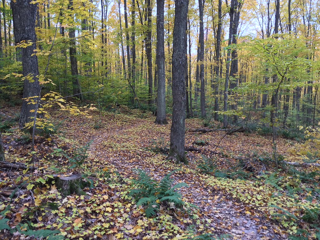 VALLEY SPUR SKI LOOP YHiking · ~49 min drivePhoto: usfs_Eastern_Region, Public Domain Mark (via Flickr)
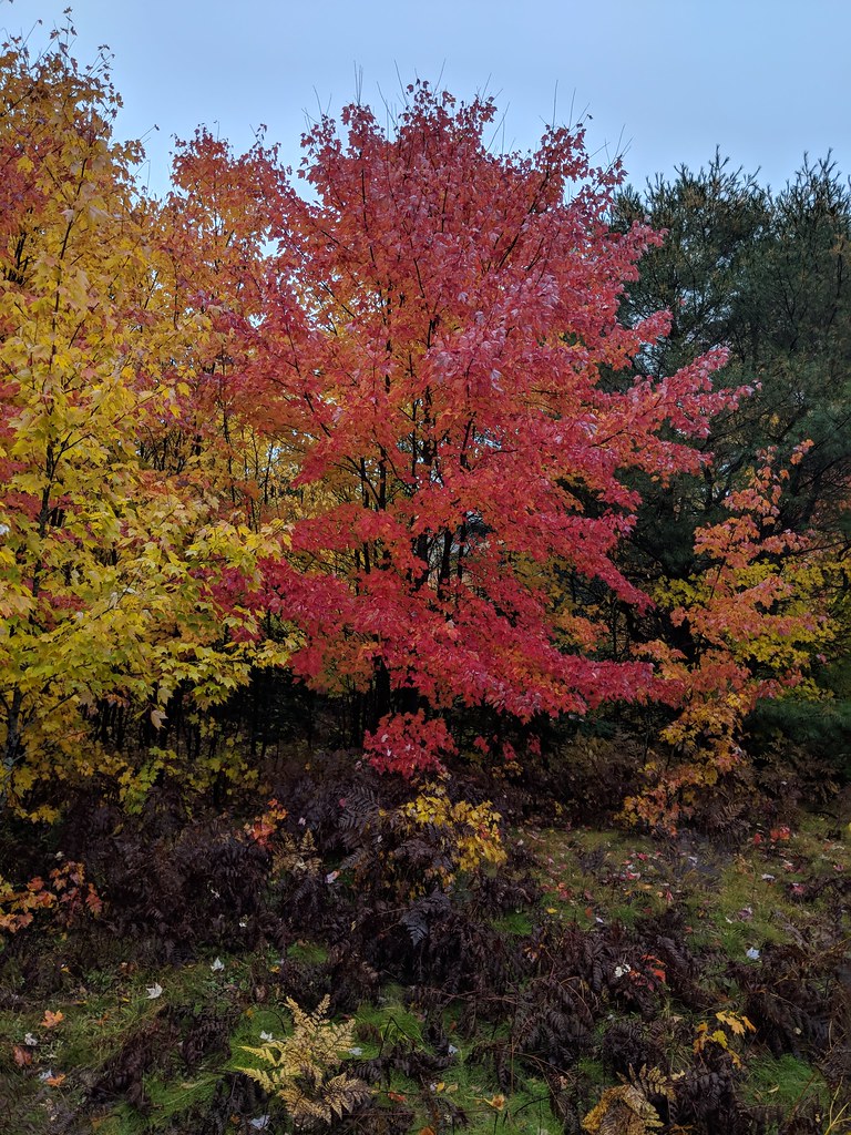 Valley Spur-Hemlock ValleyHiking · ~47 min drivePhoto: usfs_Eastern_Region, Public Domain Mark (via Flickr)
- Lake Superior TrailHiking · ~12 min drivePhoto: jeffhutchison, CC BY 2.0 (via Flickr)
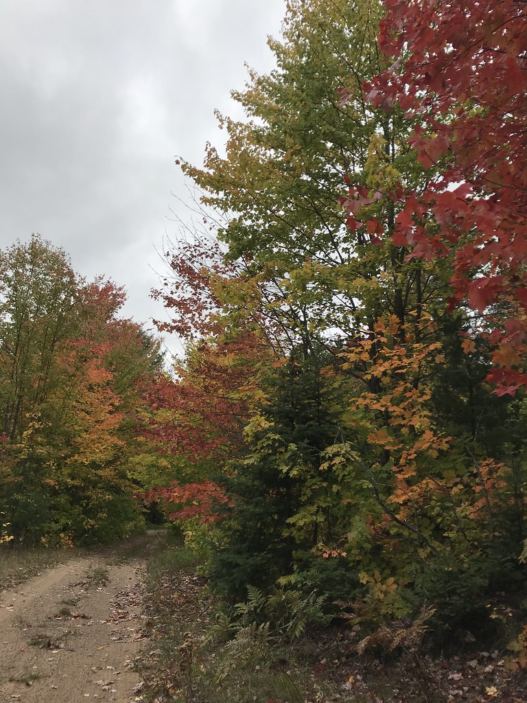 Coalwood Grade ATVHiking · ~52 min drivePhoto: usfs_Eastern_Region, Public Domain Mark (via Flickr)
 Pine Marten RunHiking · ~59 min drivePhoto: usfs_Eastern_Region, Public Domain Mark (via Flickr)
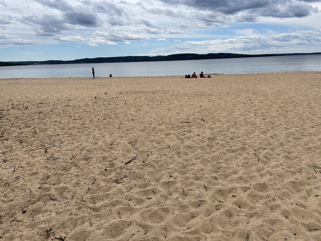 Sand Point Marsh TrailHiking · ~35 min drivePhoto: clembore, CC BY-SA 2.0 (via Flickr)
Best time to visit Fox River Pathway
Best months: May–October. Best months have typical highs of 55–85 °F, lows of 30 °F or warmer (32 °F where the station doesn't record snow), at most one snowy day and no more than 12 wet days.
Jan
24° / 14°
Feb
27° / 13°
Mar
37° / 20°
Apr
47° / 28°
May
61° / 40°
Jun
70° / 48°
Jul
75° / 55°
Aug
75° / 56°
Sep
68° / 50°
Oct
55° / 39°
Nov
41° / 29°
Dec
30° / 20°
Typical high / low (°F) and days with rain or snow, 1991–2020. Measured at Grand Marais 2 E, MI, 14.7 mi away at 624 ft. This station doesn't record snowfall. Source: NOAA NCEI U.S. Climate Normals 1991–2020.

Map and trail data © OpenStreetMap contributors
