Conglomerate Falls
- 1.1 mi
- round trip
- 528 ft
- climb
- 1,159 ft
- high point
- Out and back
- route
- May–Sep
- best months
Is Conglomerate Falls open right now?
Closure in the area
There's a closure order in Ottawa National Forest. It doesn't name Conglomerate Falls, so check the source for the area it covers.
Temporary Road Closures
Agency closure covering Ottawa National Forest · Order 09-07-00-26-01 · USFS · Ottawa National Forest
Spring Road Conditions
Agency alert covering Ottawa National Forest · USFS · Ottawa National Forest
Unmanned Aircraft Systems (UAS)
Agency alert covering Ottawa National Forest · USFS · Ottawa National Forest
As of · Source: USFS · Ottawa National Forest. Agencies don't list every closure — check before you go.
Conglomerate Falls is a short, easy hike in the Bessemer Ranger District of Michigan's Ottawa National Forest, about a mile from the trailhead. The route is an out-and-back that climbs from about 920 feet to about 1,160 feet, with a total gain of 528 feet over the round trip. The steepest stretch comes at about half a mile in, where the grade reaches 20 percent. Summer is the most comfortable time to go. Typical averages from a nearby weather station in Ironwood put July highs around 77°F with lows near 55°F, while winter highs stay in the 20s. The trail is open year-round and takes about half an hour to complete. Bikes and horses are allowed, and the surface is natural. It is not an accessible trail. Potowatomi Falls is less than a mile away, and Sandstone Falls is about 1.4 miles off. The Black River offers fishing at roughly 0.9 miles, and Black River Harbor Campground is about 2.7 miles away.
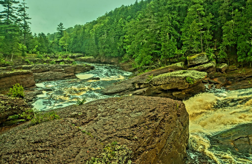 Potowatomi FallsHikingPhoto: chumlee10, CC BY-SA 2.0 (via Flickr)0.8 mi
- Black RiverRiver fishing0.9 mi
- Sandstone FallsHikingPhoto: chumlee10, CC BY-SA 2.0 (via Flickr)1.4 mi
- Black River Harbor PavilionCamping2.7 mi
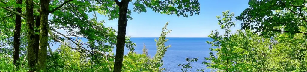 Black River Harbor CampgroundCampingPhoto: Recreation.gov (RIDB) / public domain2.7 mi
- Porcupine Mountains Wilderness State ParkHiking5.8 mi
- Porcupine Mountains State Park - West River Trail_North Country Trail_Iron Belle TrailHiking6.1 mi
 North Country Trail_Iron Belle TrailHikingPhoto: Curtis Abert, CC BY 2.0 (via Flickr)6.7 mi
Source: Roamze catalog (indexable pages within 10 miles, PostGIS distance)
- Potowatomi FallsHiking · ~1 min drivePhoto: chumlee10, CC BY-SA 2.0 (via Flickr)
- North Country Trail_Iron Belle TrailHiking · ~12 min drivePhoto: Curtis Abert, CC BY 2.0 (via Flickr)
 Big Carp River TrailHiking · ~22 min drivePhoto: Curtis Abert, CC BY 2.0 (via Flickr)
 Iron County ForestHiking · ~45 min drivePhoto: Ian Shackleford, CC BY 3.0 (via Wikimedia Commons)
- Wolf MountainHiking · ~33 min drive
- Sandstone FallsHiking · ~2 min drivePhoto: chumlee10, CC BY-SA 2.0 (via Flickr)
 Porcupine Mountains State Park - Lake Superior TrailHiking · ~12 min drivePhoto: Curtis Abert, CC BY 2.0 (via Flickr)
 Powers Vista TrailHiking · ~29 min drivePhoto: Ian Shackleford, CC BY 3.0 (via Wikimedia Commons)
- Ottawa National ForestHiking · ~50 min drive
 Porcupine Mountains State Park - Nature TrailHiking · ~15 min drivePhoto: Curtis Abert, CC BY 2.0 (via Flickr)
Best time to visit Conglomerate Falls
Best months: May–September. Best months have typical highs of 55–85 °F, lows of 30 °F or warmer (32 °F where the station doesn't record snow), at most one snowy day and no more than 12 wet days.
Jan
20° / 2°
Feb
26° / 4°
Mar
37° / 14°
Apr
49° / 27°
May
64° / 40°
Jun
73° / 50°
Jul
77° / 55°
Aug
76° / 52°
Sep
68° / 46°
Oct
53° / 34°
Nov
38° / 23°
Dec
26° / 11°
Typical high / low (°F) and days with rain or snow, 1991–2020. Measured at Ironwood #2, MI, 12 mi away at 1,520 ft. This station doesn't record snowfall. Source: NOAA NCEI U.S. Climate Normals 1991–2020.

