Scott Falls
 Photo: NMMIMAJ, CC BY-SA 3.0 (via Wikimedia Commons)
- 639 ft
- elevation
- May–Aug
- best months
Is Scott Falls open right now?
Closure in the area
There's a closure order in Hiawatha National Forest. It doesn't name Scott Falls, so check the source for the area it covers (2 listed).
Brevoort Lake Autumn Drawdown
Agency closure covering Hiawatha National Forest · USFS · Hiawatha National Forest
Haymeadow Trail and Bridge Closed
Agency closure covering Hiawatha National Forest · USFS · Hiawatha National Forest
Restricting Public Entry to Stonington Quarry
Agency alert covering Hiawatha National Forest · USFS · Hiawatha National Forest
As of · Source: USFS · Hiawatha National Forest. Agencies don't list every closure — check before you go.
Scott Falls is a waterfall in Michigan's Hiawatha National Forest, within the Munising Ranger District. It sits at about 640 feet, roughly 8.5 miles from the town of Chatham. Summer is the most comfortable time to visit. Typical averages from the nearby Munising weather station show July highs around 73°F with lows near 55°F, while winter highs stay in the 20s. Several other spots lie within a few miles. The Autrain River Canoe Route and Au Train Lake Campground are both about 3 miles away, and the Bay De Noc – Grand Island National Recreation Trail is about 4.7 miles off. Paddlers can also look to the Rock River, about 6 miles away.
- Elevation
- 639 ft
Elevation from USGS 3D Elevation Program terrain data (about 10 m resolution).
 Autrain River Canoe RouteHikingPhoto: Joe Passe, CC BY-SA 2.0 (via Flickr)3 mi
- Autrain Songbird InterpHikingPhoto: Joe Passe, CC BY-SA 2.0 (via Flickr)3.1 mi
 Au Train Lake CampgroundCampingPhoto: Recreation.gov (RIDB) / public domain3.3 mi
- Bay De Noc – Grand Island National Recreation TrailHiking4.7 mi
 Bay Furnace CampgroundCampingPhoto: Recreation.gov (RIDB) / public domain5.1 mi
- Rock RiverCanoeing6 mi
- Channel Marker CampsiteCamping6.5 mi
- Munising Ranger DistrictLake fishing8.1 mi
Source: Roamze catalog (indexable pages within 10 miles, PostGIS distance)
 Alger FallsWaterfall · ~15 min drivePhoto: NMMIMAJ, CC BY-SA 3.0 (via Wikimedia Commons)
 Wagner FallsWaterfall · ~15 min drivePhoto: Two Hearted River, CC BY-SA 3.0 (via Wikimedia Commons)
 Memorial FallsWaterfall · ~16 min drivePhoto: Joel Dykstra, CC BY-SA 3.0 (via Wikimedia Commons)
 Tannery FallsWaterfall · ~16 min drivePhoto: NMMIMAJ, CC BY-SA 3.0 (via Wikimedia Commons)
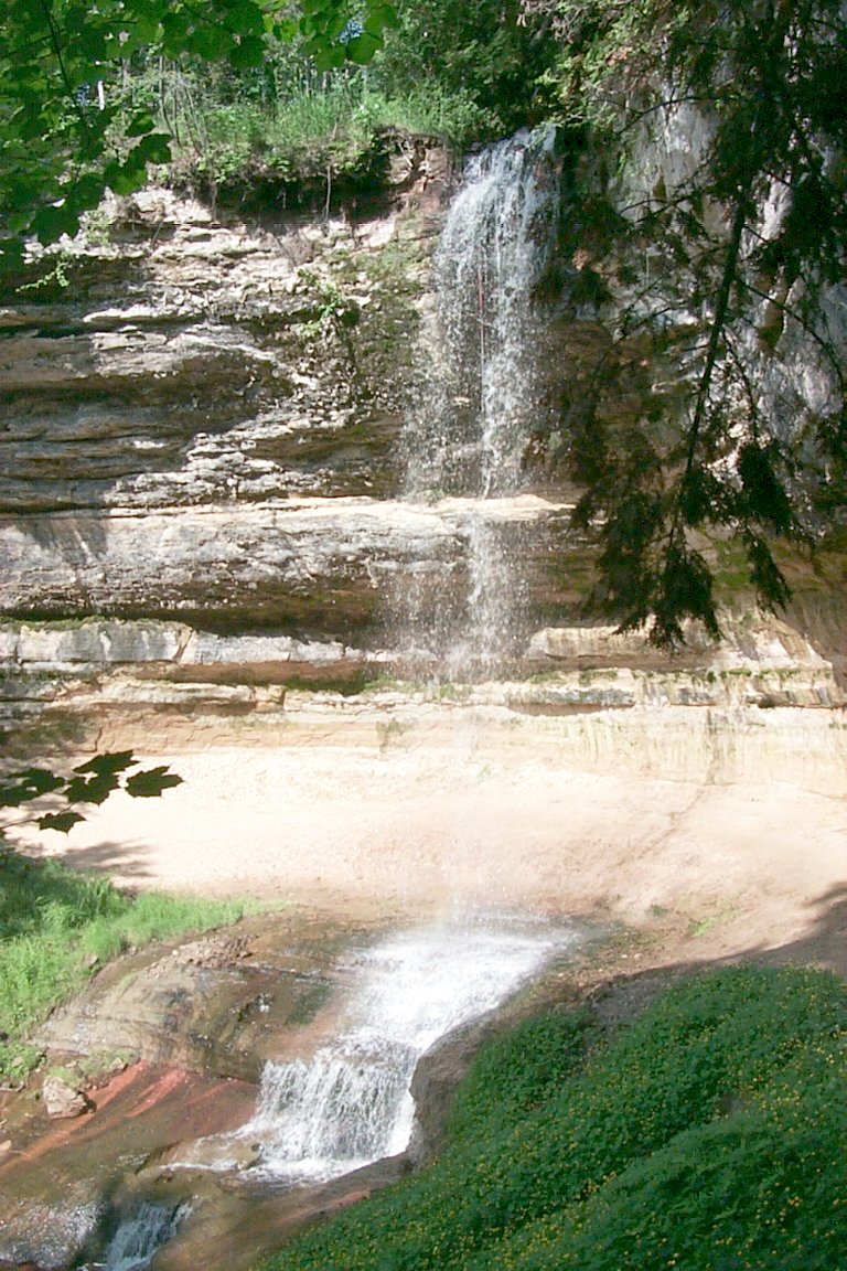 Munising FallsWaterfall · ~16 min drivePhoto: NMMIMAJ, CC BY-SA 3.0 (via Wikimedia Commons)
 Miners FallsWaterfall · ~24 min drivePhoto: NMMIMAJ, CC BY-SA 3.0 (via Wikimedia Commons)
 Bridalveil FallsWaterfall · ~25 min drivePhoto: National Park Service, Public domain (via Wikimedia Commons)
 Sable FallsWaterfall · ~1h 11m drivePhoto: Yinan Chen, Public Domain (via Wikimedia Commons)
- Cole Creek FallsWaterfall · ~5 min drive
- Au Train FallsWaterfall · ~12 min drive
Best time to visit Scott Falls
Best months: May–August. Best months have typical highs of 55–85 °F, lows of 30 °F or warmer (32 °F where the station doesn't record snow), at most one snowy day and no more than 12 wet days.
Jan
23° / 11°
21 wet
Feb
25° / 11°
17 wet
Mar
33° / 19°
13 wet
Apr
45° / 28°
11 wet
May
59° / 39°
12 wet
Jun
68° / 49°
12 wet
Jul
73° / 55°
12 wet
Aug
72° / 55°
11 wet
Sep
65° / 49°
14 wet
Oct
52° / 38°
17 wet
Nov
39° / 27°
17 wet
Dec
29° / 18°
19 wet
Typical high / low (°F) and days with rain or snow, 1991–2020. Measured at Munising, MI, 7.5 mi away at 680 ft. This station doesn't record snowfall. Source: NOAA NCEI U.S. Climate Normals 1991–2020.
