Camp Cedar Mill
Campground
Campground · 4.8 mi from the trail
Baldpate Pond State Park is a state park in Massachusetts, about 2.8 miles from the town of Boxford. It sits close to a cluster of trails and climbing areas, making it an easy base for a day of walking, biking or bouldering in the Boxford area. Late spring through early fall is the most comfortable time to visit. Typical averages from a nearby weather station in Groveland show September highs around 73°F with lows near 52°F, while July is the warmest month at about 83°F. Winters are cold, with January highs around 35°F and several snowy days each month from December through February. The Boxford Rail Trail starts just half a mile away, and the Witch Hollow Trail for mountain biking is about 1.2 miles off. The Shaven Crown Trail is roughly 1.5 miles away, and the Georgetown-Byfield Rail Trail is about 2.8 miles away.
Camp Cedar Mill
Campground
 If it rainsNewbury1654, Public domain · Wikimedia Commons
Places © OpenStreetMap contributors, Places © Overture Maps Foundation · Photos: Newbury1654, Public domain (commons)
More in NewburyportPark size
92 acres
Source: Roamze catalog (indexable pages within 10 miles, PostGIS distance)
 Bradley Palmer State ParkState park · ~11 min drivePhoto: Fletcher6, CC BY-SA 3.0 (via Wikimedia Commons)
 Maudslay State ParkState park · ~15 min drivePhoto: Botteville, Public domain (via Wikimedia Commons)
 Lawrence Heritage State ParkState park · ~16 min drivePhoto: John Phelan, CC BY-SA 3.0 (via Wikimedia Commons)
 Breakheart ReservationState park · ~25 min drivePhoto: User:Magicpiano, CC BY-SA 4.0 (via Wikimedia Commons)
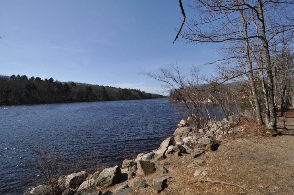 Lynn Woods ReservationState park · ~26 min drivePhoto: User:Magicpiano, CC BY-SA 4.0 (via Wikimedia Commons)
 Kingston State ParkState park · ~27 min drivePhoto: John Phelan, CC BY-SA 4.0 (via Wikimedia Commons)
 Hampton Beach State ParkState park · ~29 min drivePhoto: The original uploader was Decumanus at English Wikipedia., CC BY-SA 3.0 (via Wikimedia Commons)
 Lynn Shore ReservationState park · ~29 min drivePhoto: John Phelan, CC BY 3.0 (via Wikimedia Commons)
 Halibut Point State ParkState park · ~32 min drivePhoto: Ymblanter, CC BY-SA 3.0 (via Wikimedia Commons)
 Lowell Heritage State ParkState park · ~33 min drivePhoto: John Phelan, CC BY-SA 4.0 (via Wikimedia Commons)
Best months: April–October. Best months have typical highs of 55–85 °F, lows of 30 °F or warmer (32 °F where the station doesn't record snow), at most one snowy day and no more than 12 wet days.
Jan
35° / 17°
12 wet · 8 snow
Feb
38° / 19°
11 wet · 7 snow
Mar
46° / 26°
12 wet · 5 snow
Apr
58° / 36°
11 wet · 1 snow
May
69° / 46°
12 wet
Jun
78° / 56°
11 wet
Jul
83° / 62°
10 wet
Aug
81° / 60°
9 wet
Sep
73° / 52°
9 wet
Oct
62° / 40°
11 wet
Nov
51° / 32°
11 wet · 2 snow
Dec
41° / 23°
12 wet · 5 snow
Typical high / low (°F) and days with rain or snow, 1991–2020. Measured at Groveland, MA, 3.8 mi away at 30 ft. We don't have this place's elevation, so higher spots nearby can run cooler. Source: NOAA NCEI U.S. Climate Normals 1991–2020.

