White Trail
- 3.0 mi
- loop
- 302 ft
- climb
- 750 ft
- high point
- Loop
- route
- Apr, Jun–Oct
- best months
White Trail is a short, easy loop of about 3 miles in the Midura Family Conservation Area in western Massachusetts. The trail rises to a high point of about 750 feet, with a total elevation gain of 302 feet, and the steepest stretch comes at about 2.6 miles into the route. It makes a good quick outing, taking roughly an hour to complete. Late spring and early fall are the most comfortable times to go. Typical averages from the nearby Belchertown weather station show May highs around 68°F and September highs around 73°F, with July peaking near 82°F. Several other outdoor spots sit within a few miles. The Quaboag River fishing access is about 4 miles away, and the Main Face and Bunyan Mountain climbing areas are each just under 5 miles off. The Massachusetts Central Rail Trail is about 6 miles away.
- Quaboag RiverRiver fishing4.1 mi
- Main FaceRock climbing4.6 mi
- Bunyan MountainRock climbing4.7 mi
- holding areaRock climbing4.7 mi
- Massachusetts Central Rail TrailHiking6.3 mi
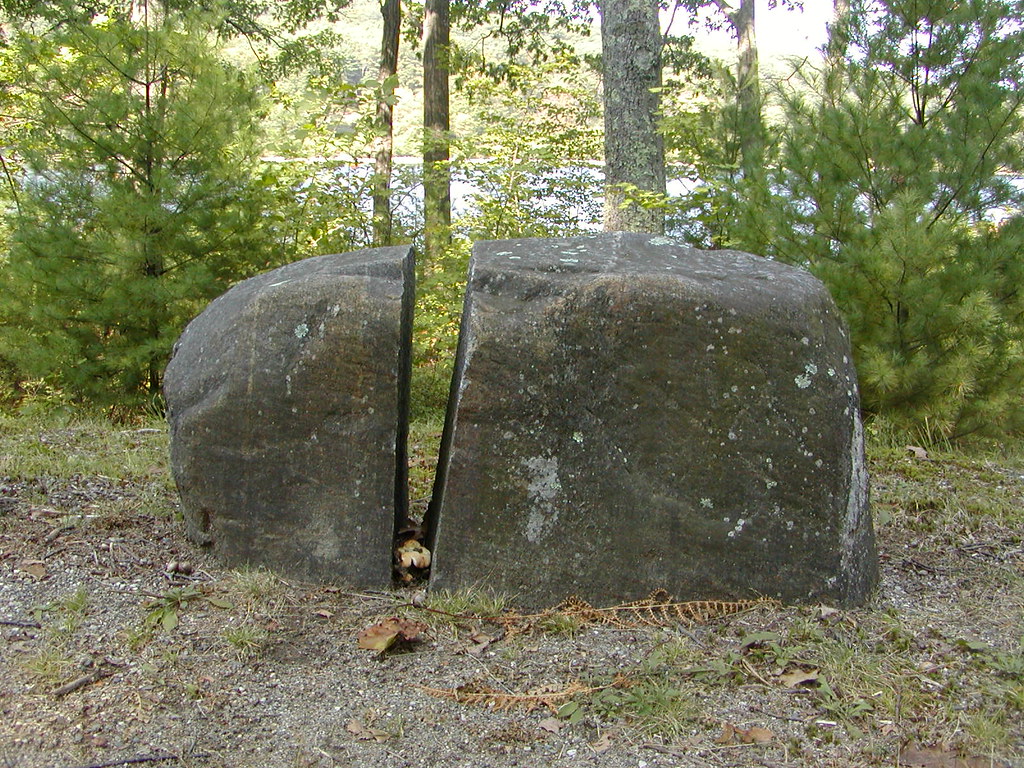 East Gate TrailHikingPhoto: Qfamily, CC BY 2.0 (via Flickr)6.6 mi
- Fire RoadMountain biking6.6 mi
- Swift RiverRiver fishing7.6 mi
Source: Roamze catalog (indexable pages within 10 miles, PostGIS distance)
- East Gate TrailHiking · ~11 min drivePhoto: Qfamily, CC BY 2.0 (via Flickr)
- North Brookfield Rail TrailHiking · ~19 min drive
- Old Stone TrailHiking · ~12 min drivePhoto: Qfamily, CC BY 2.0 (via Flickr)
 Visitor's Center Loop TrailHiking · ~12 min drivePhoto: Ktr101, CC BY-SA 2.0 (via Flickr)
 Observation Tower TrailHiking · ~12 min drivePhoto: Ktr101, CC BY-SA 2.0 (via Flickr)
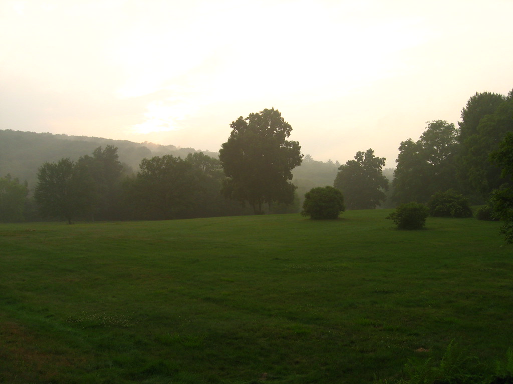 Enfield Lookout TrailHiking · ~14 min drivePhoto: Qfamily, CC BY 2.0 (via Flickr)
 Long Pond TrailHiking · ~15 min drivePhoto: U.S. Army Corps of Engineers, photographer not specified or unknown, Public domain (via Wikimedia Commons)
 Field Loop TrailHiking · ~17 min drivePhoto: Bobby17543, CC BY-SA 3.0 (via Wikimedia Commons)
- South TrailHiking · ~19 min drivePhoto: Bobby17543, CC BY-SA 3.0 (via Wikimedia Commons)
 Lower LoopHiking · ~19 min drivePhoto: On^ste82, CC BY 3.0 (via Wikimedia Commons)
Best time to visit White Trail
Best months: April and June–October. Best months have typical highs of 55–85 °F, lows of 30 °F or warmer (32 °F where the station doesn't record snow), at most one snowy day and no more than 12 wet days.
Jan
33° / 15°
11 wet
Feb
35° / 15°
10 wet
Mar
44° / 24°
11 wet
Apr
57° / 34°
11 wet
May
68° / 45°
13 wet
Jun
77° / 54°
12 wet
Jul
82° / 60°
11 wet
Aug
80° / 58°
11 wet
Sep
73° / 51°
10 wet
Oct
60° / 40°
11 wet
Nov
49° / 31°
10 wet
Dec
38° / 22°
11 wet
Typical high / low (°F) and days with rain or snow, 1991–2020. Measured at Belchertown, MA, 7.2 mi away at 550 ft. This station doesn't record snowfall. Source: NOAA NCEI U.S. Climate Normals 1991–2020.
Map and trail data © OpenStreetMap contributors
